
As part of our Walking West Linn series, we developed this diverse, 4-5 mile, moderately challenging loop walk that begins and ends on Main Street in Historic Willamette.
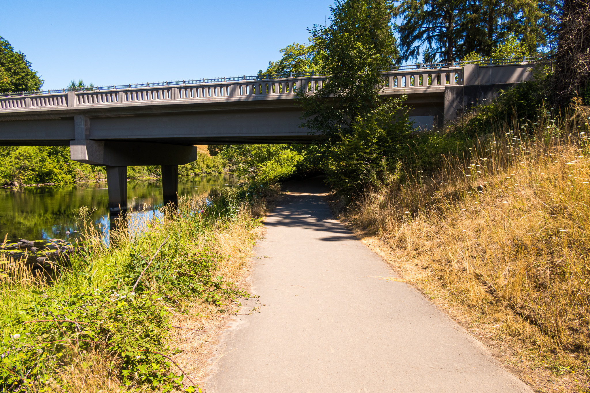
Sprawled across 19 beautiful acres edging the Tualatin River, Fields Bridge Park hosts community gardens, baseball fields, basketball courts, walking paths along the river, and a playground. The park is also home to a replica (and interpretive display) of the West Linn meteorite–a 15-ton space rock–the sixth largest in the world and largest ever found in North America. It was discovered in a West Linn field in 1902.
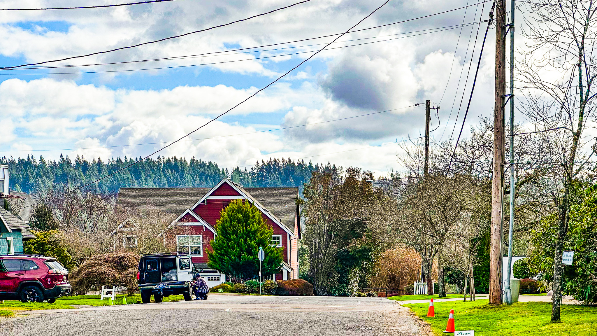
On this walk you’ll also see West Linn’s beautiful new middle school, Athey Creek on Dollar Street high above the Tualatin River below. Awesome photo ops from this view ridge.

Walking West Linn: Historic Willamette, Fields Bridge & Tualatin River Route Map (4+ miles) (Online, Interactive)
Our route maps are designed so you can both follow and keep track of where you are on the route from your iPhone while walking. At home from your computer, save the route map to your bookmarks bar and then open that link from your iPhone. (It’s important to do this from home because occasionally you’ll be out in the world and unable to launch the route map.)

The route out is shown in green while the route back is shown in red. Additional colors indicate walk options.
While walking, open the Legend field on the map to get turn-by-turn directions. If Google Maps is tracking properly (occasionally it glitches) you’ll see a small blue ball that represents you on the map. So helpful for keeping track of where you are on the route.
Historic Willamette, Fields Bridge & Tualatin River Walk Details
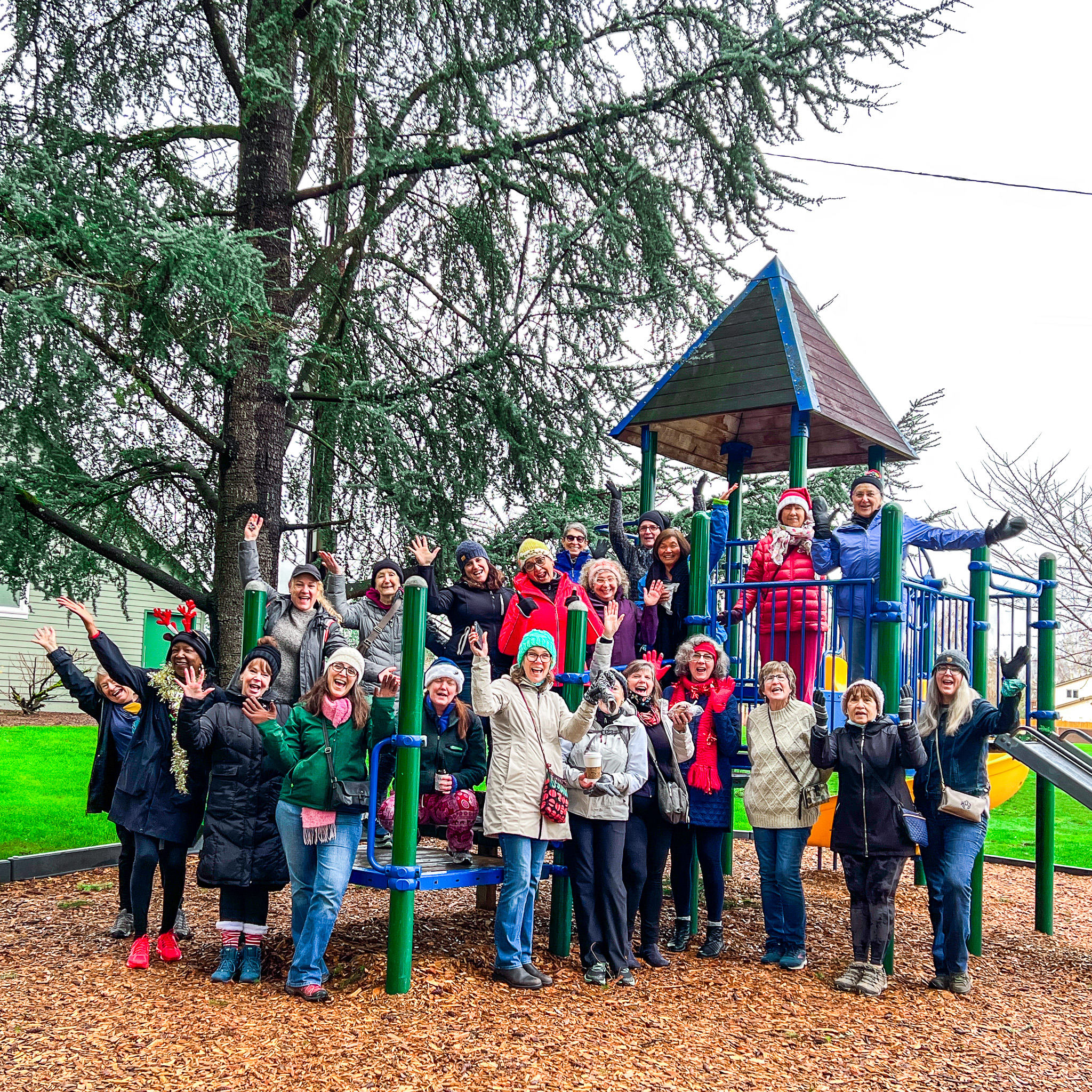
Hope to see you soon for one of our group walks (details below). Let’s get walking!

ROUTE MAP: Click Here
PARKING: Historic Willamette Main Street
RESTROOMS: Lark Coffee and Fields Bridge Park Public Restrooms
COFFEE/TEA/LUNCH: Lark Coffee or Willamette Coffee House
DISTANCE: 4-5 miles
TIME: 2-3 hours
TERRAIN: A mix of city sidewalks and varied terrain trails with Rolling Hills.
DIFFICULTY: Moderately challenging due to a few hills in the first half of the walk, with numerous potential rest stops. Take it at your own pace. Bring water. And your camera.
Photo Gallery


Monthly Group Walks
SkyBlue Portland Real Estate Group creates and hosts monthly group walks through some of Portland Metro’s most beautiful, uplifting, and interesting neighborhoods.
For info on our Portland Metro walk maps and group walks, check out our Facebook page, PDX Women Who Walk and corresponding Meetup (PDX Women Who Walk. And join us!


Add comment