• Skip to primary navigation
  • Skip to main content
  • Skip to primary sidebar
This Northwest Life

This Northwest Life

Great things to do in the Pacific Northwest

  • Walks
  • Show Search
Hide Search
Home/Walking Beaverton/Walking Beaverton: Neighbors Southwest, Progress Ridge & Westside Regional Trail (4 miles)

Walking Beaverton: Neighbors Southwest, Progress Ridge & Westside Regional Trail (4 miles)

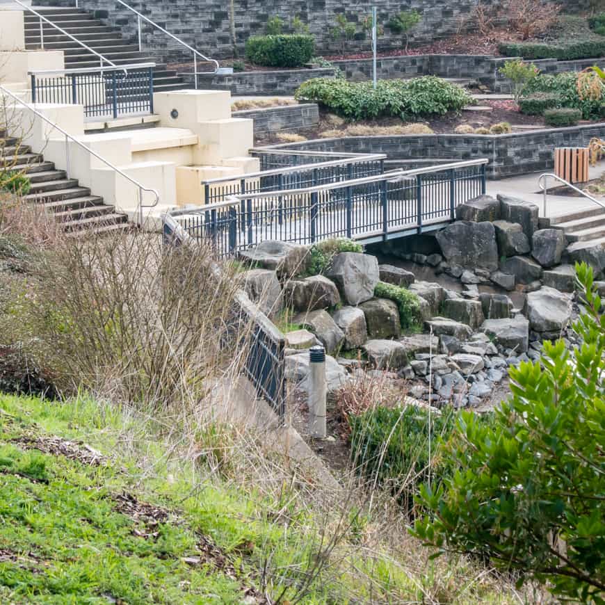
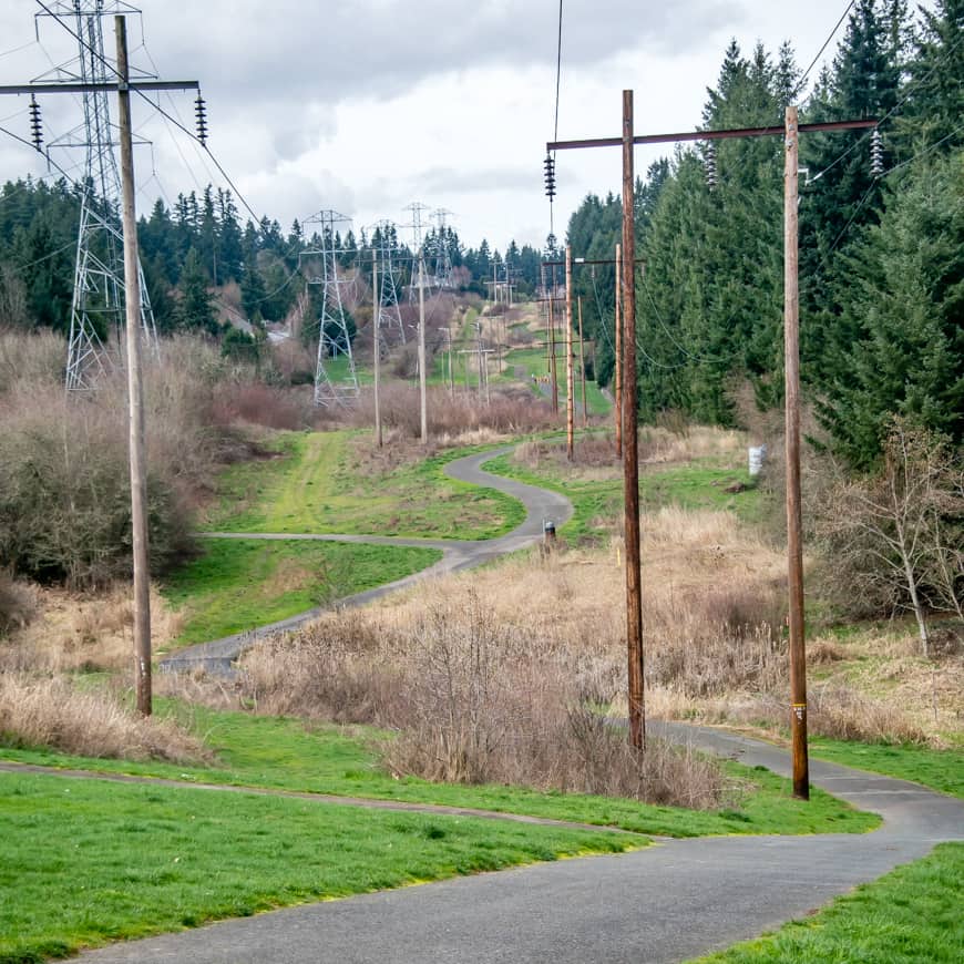
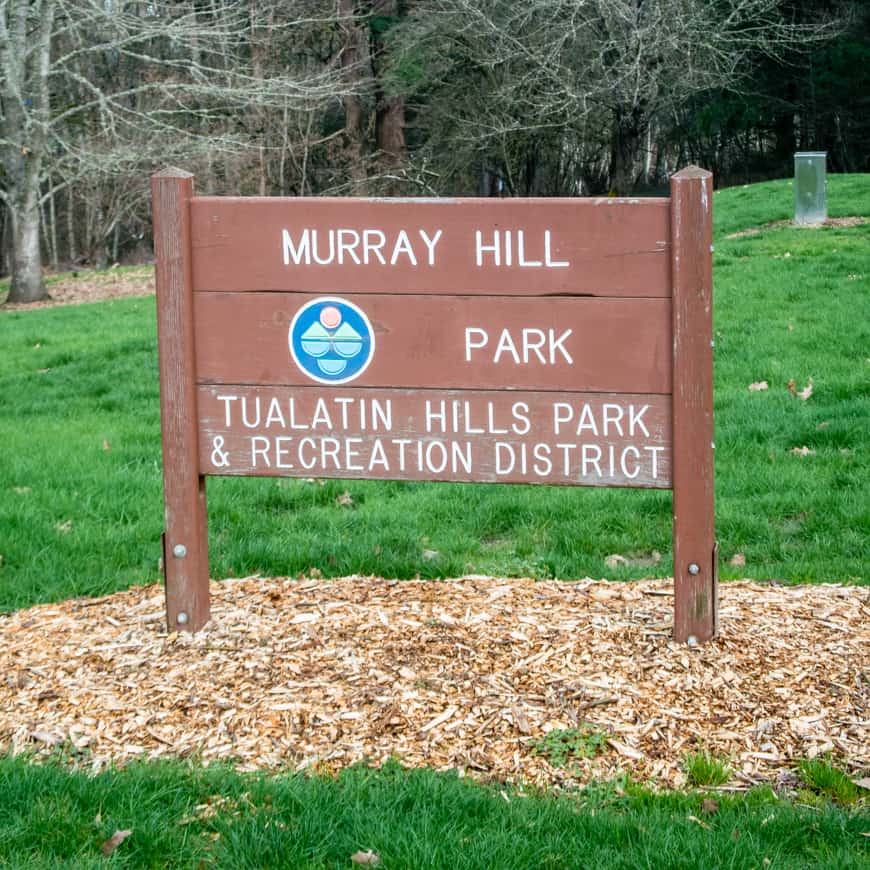
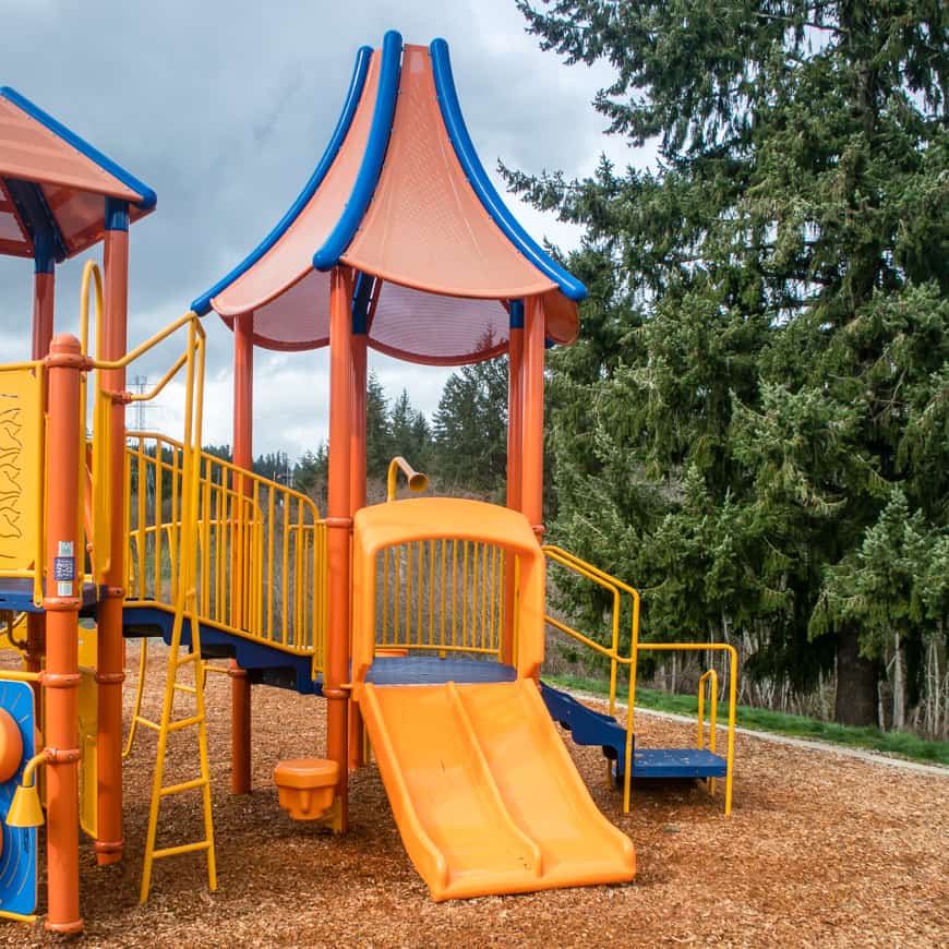
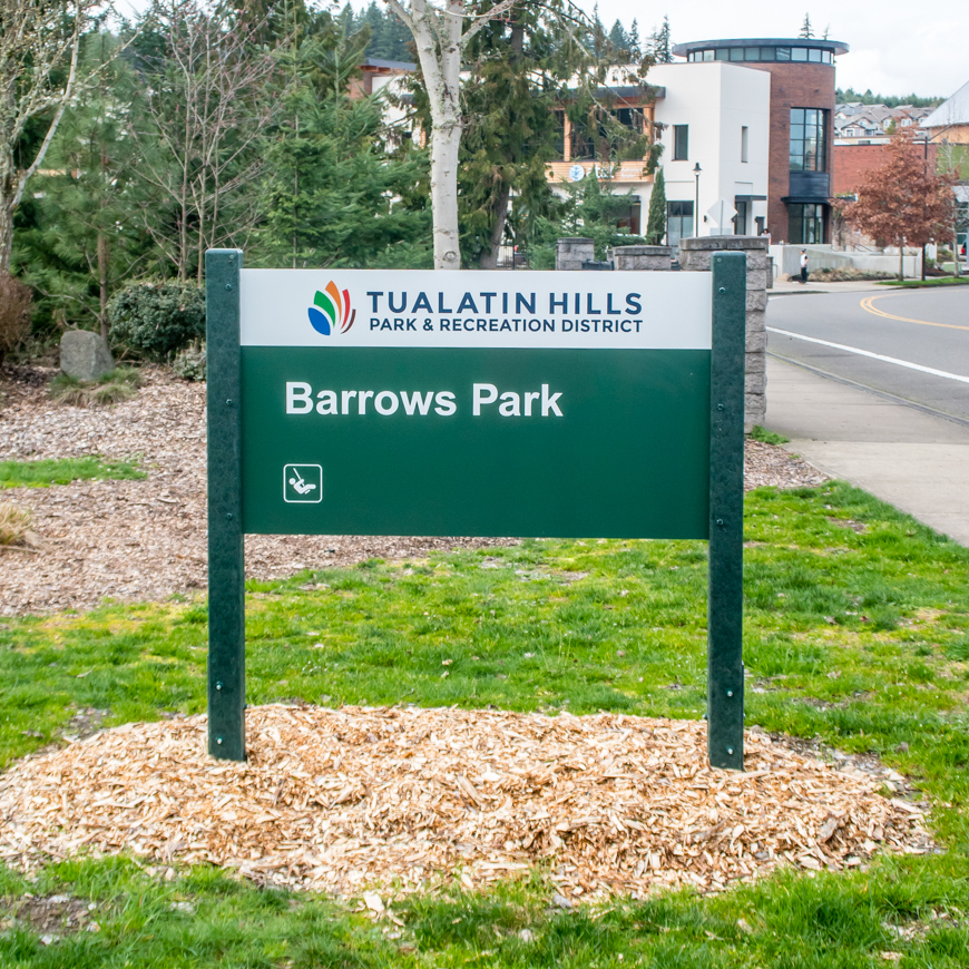
This tranquil, rolling hills, 4-mile walk along paved trails and sidewalks traverses Beaverton’s Neighbors Southwest neighborhood, including Progress Ridge, Progress Lake, Barrows Park, Westside Regional Trail, and Murray Lake.

Walking Beaverton: Progress Lake | SkyBlue Portland
Progress Ridge Townsquare overlooking Progress Lake.

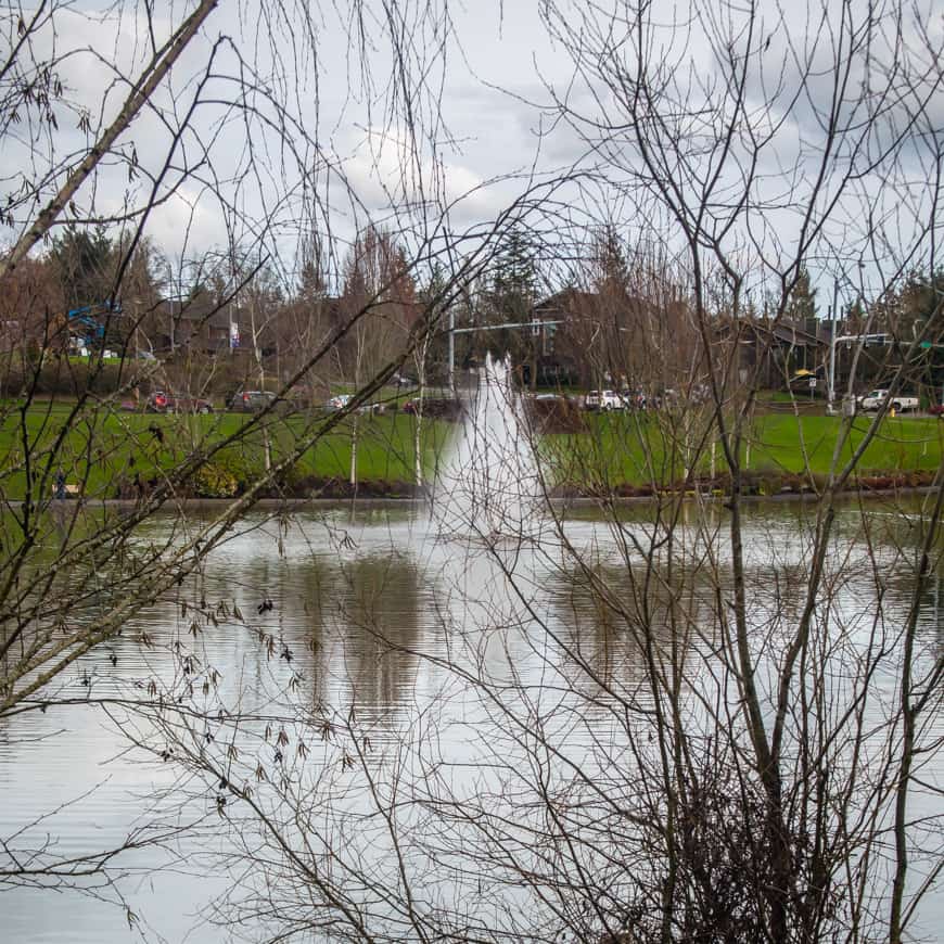
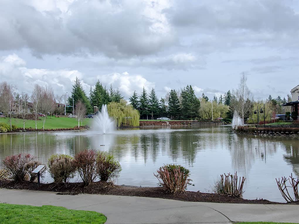
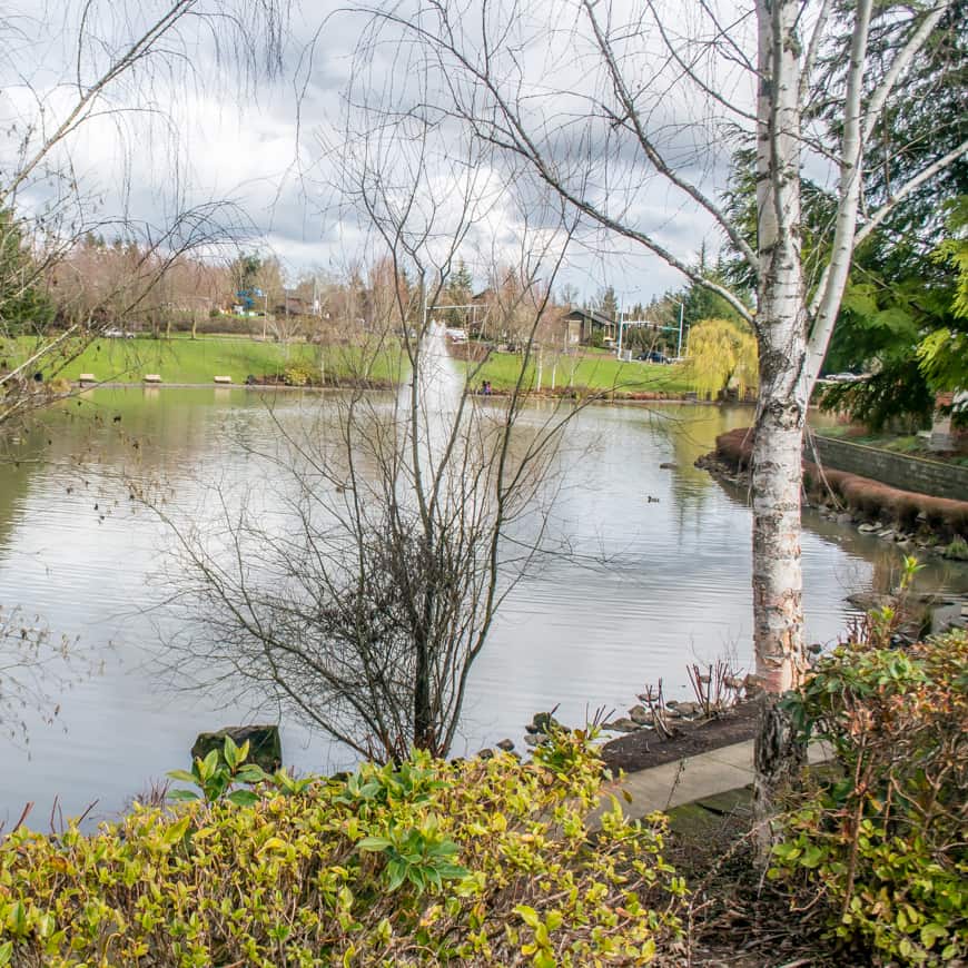
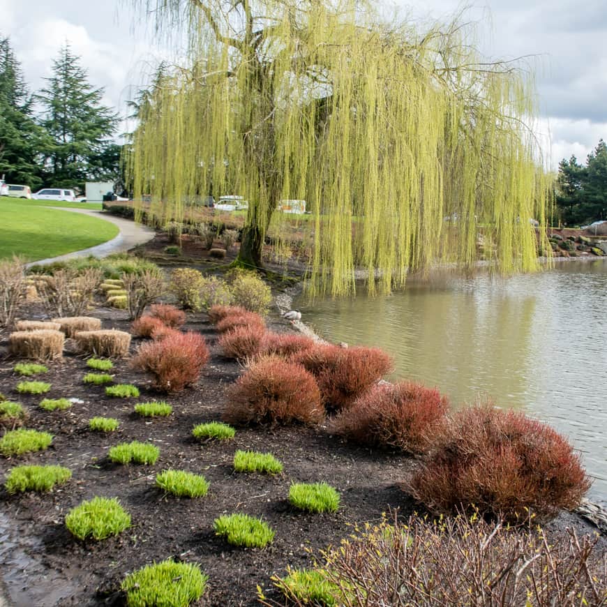
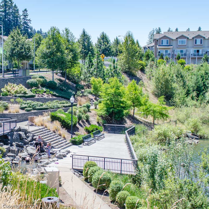
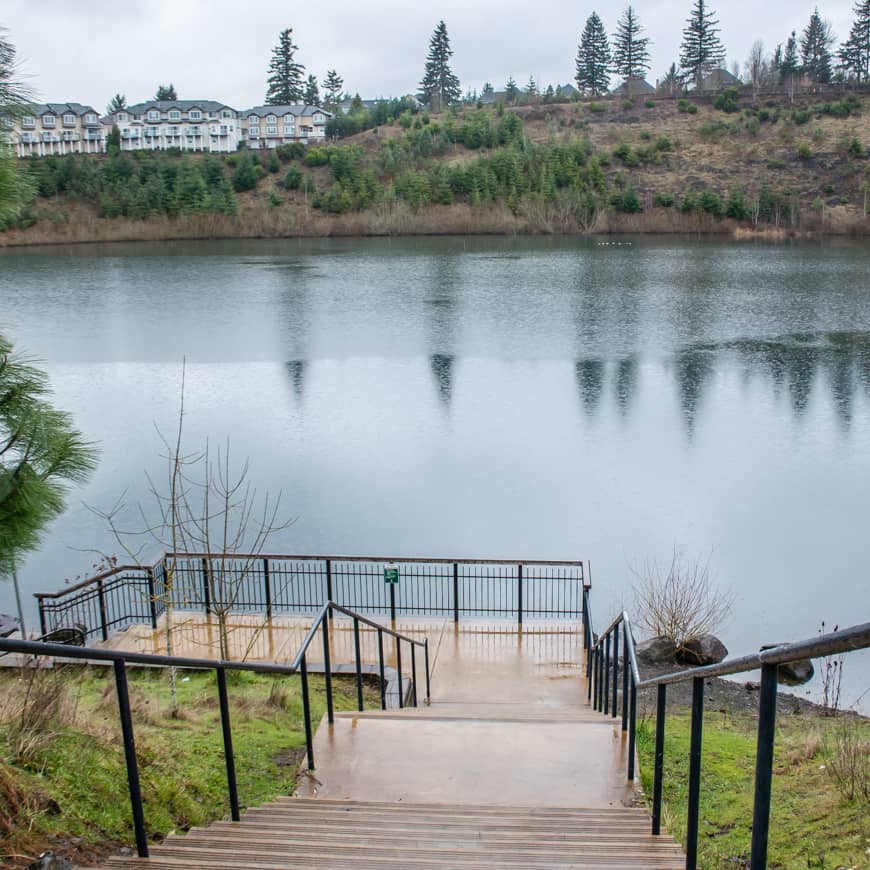
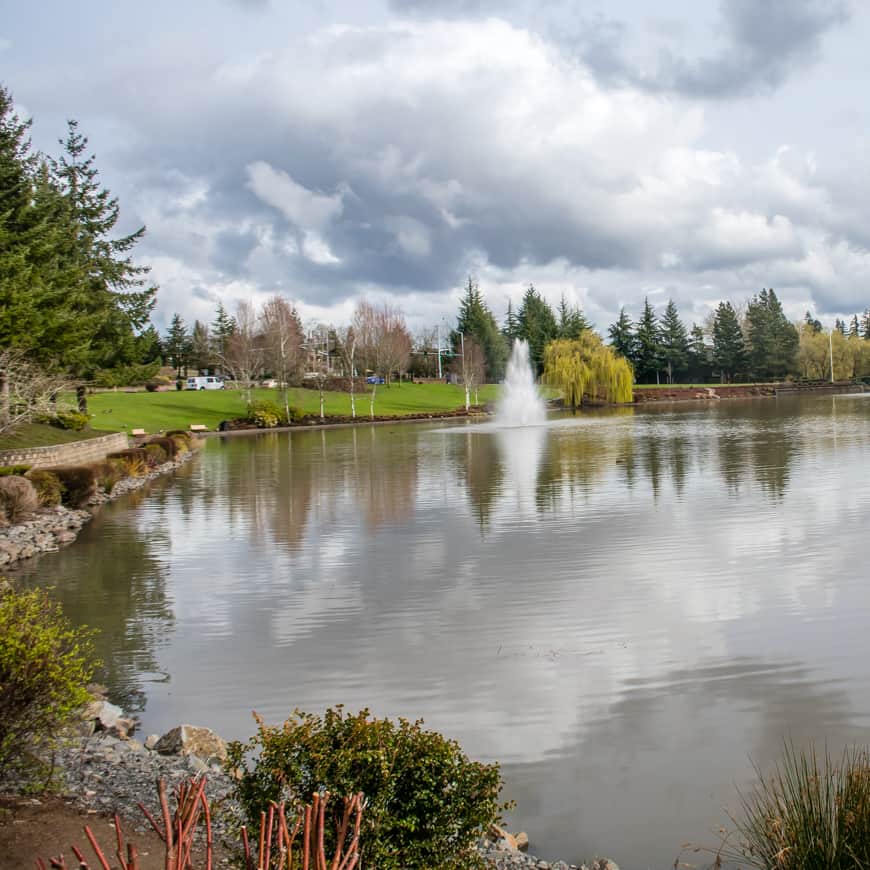
The Beaverton lakeside shopping/dining mecca called Progress Ridge is a key feature of Beaverton’s Neighbors Southwest neighborhood. It looks down onto Progress Lake from the south end of the community and wraps around Murrayhill Lake on the north end. This walk includes plentiful views of both.

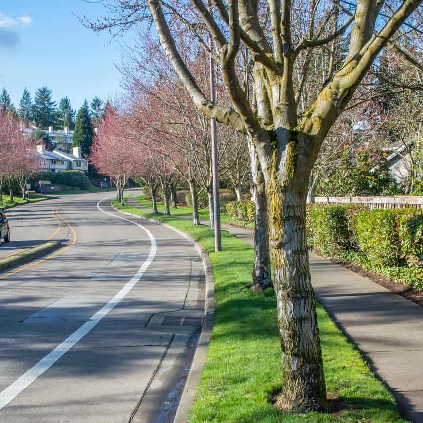
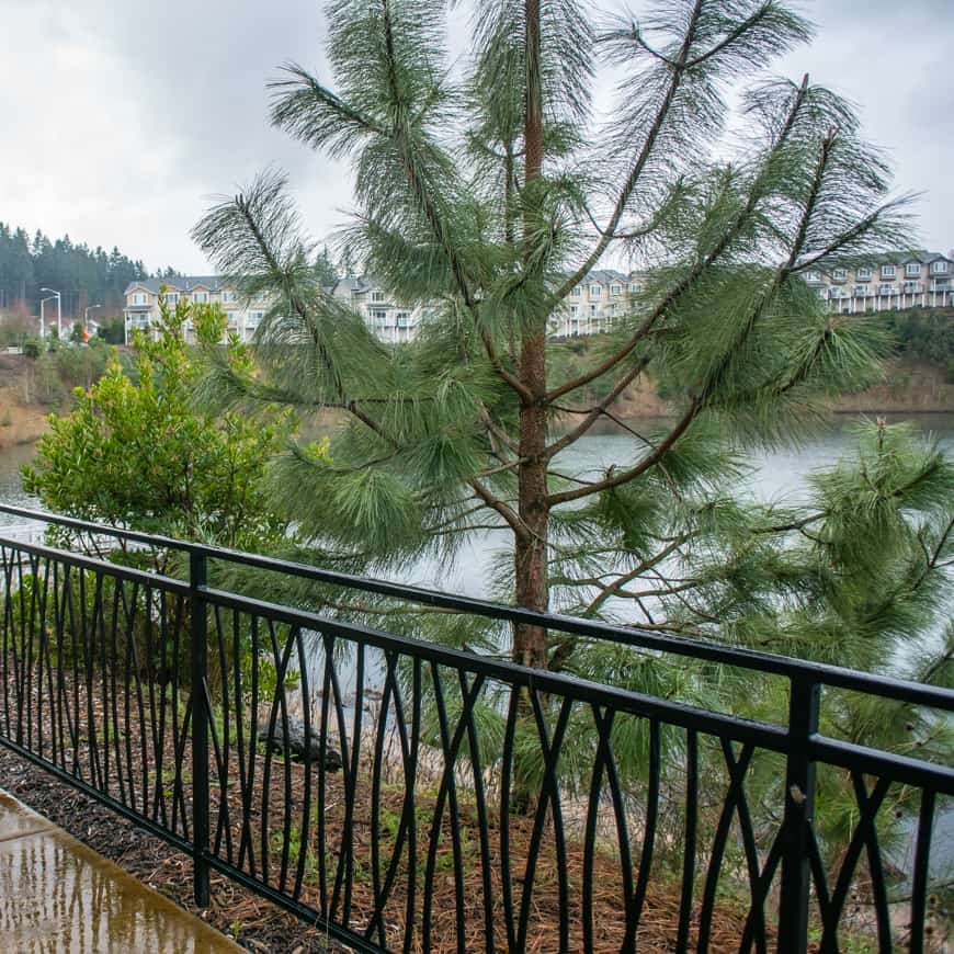
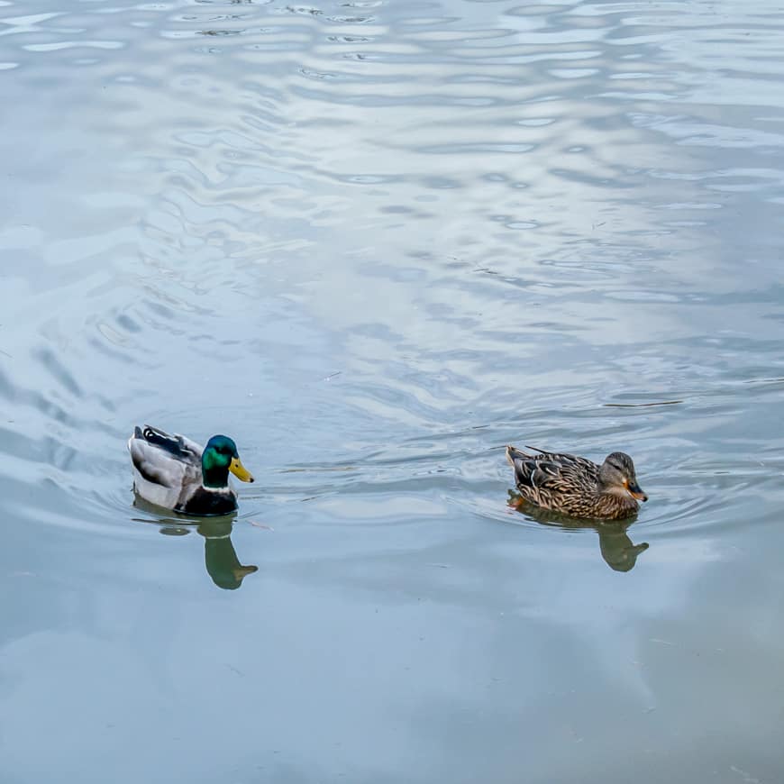
Neighbors Southwest features a diagonal mesh of interconnected, heavily treed parks, trails, and ponds, making it imminently walkable and a favorite respite for nature lovers. In keeping with the nature spirit, most of the residential streets are named after birds. Who wouldn’t love to live on Snowy Owl Lane?

Our Walking Beaverton route begins in bustling Progress Ridge Townsquare, overlooking Progress Lake. Go early and grab a coffee at Ava Roasteria and then a bench overlooking the lake.

Walking Beaverton: Murray Lake | SkyBlue Portland
Walking Beaverton: Progress Lake | SkyBlue Portland
Walking Beaverton: Murray Lake | SkyBlue Portland

For more about this wonderful Beaverton neighborhood, see our guide: Neighbors Southwest Neighborhood Guide.

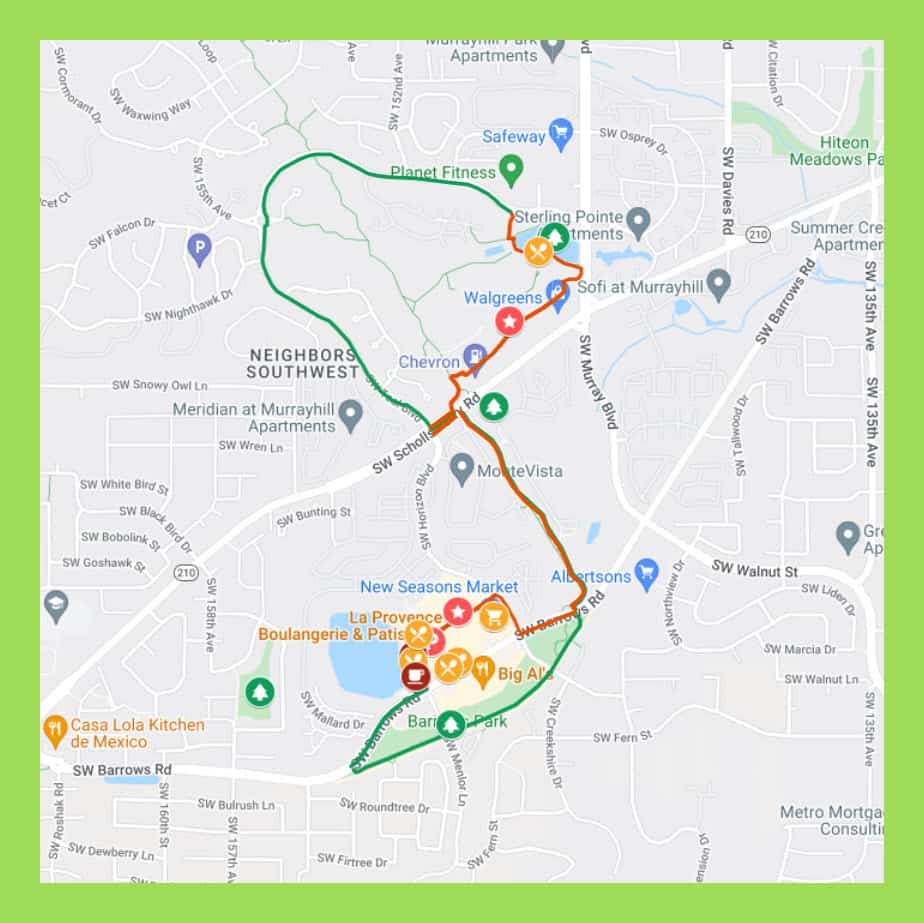
Interactive Route Map: Neighbors Southwest, Progress Ridge & Westside Regional Trail

Our route maps are designed so you can both follow and keep track of where you are on the route from your iPhone while walking. On your computer, save this route map link to your bookmarks bar and then open the link from your iPhone.

While walking, open the Legend field on the map to get turn-by-turn directions. If Google Maps is tracking (occasionally it glitches) you’ll see a small blue ball on the map that represents you. This feature to tracks where you are on the route.

Walk Details

WALKING BEQAV ERTON PROGRESS RIDGE MURRAY LAKE

DISTANCE: 4 miles.

TYPE: Loop with Out & Back on Westside Regional Trail.

TIME: 2-3 hours.

TERRAIN: Rolling hills with long flat stretches.

DIFFICULTY: Moderate.

Monthly Group Walks

SkyBlue Portland Real Estate Group hosts monthly group walks through some of Portland Metro’s most beautiful, uplifting, and interesting neighborhoods.

For info on our Portland Metro walking tours, check out our Facebook page, Women Who Walk and corresponding Meetups (PDX Women Who Walk and West Linn Women Who Walk). And join us!

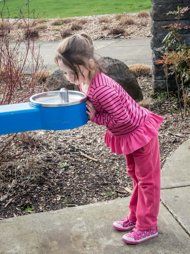
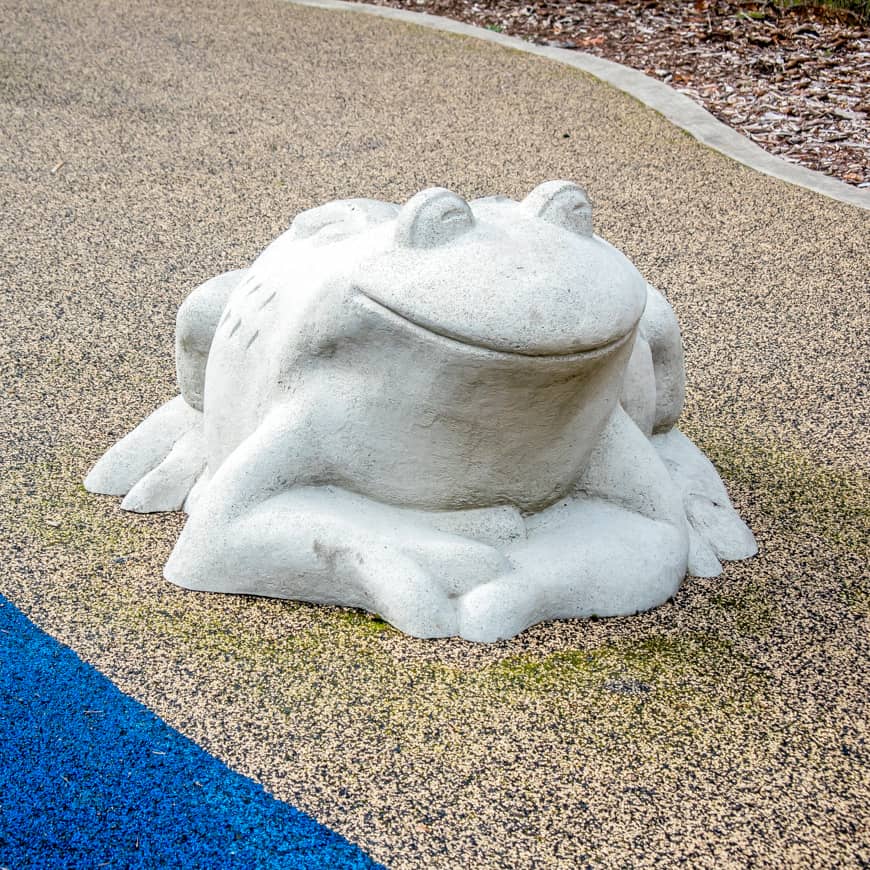
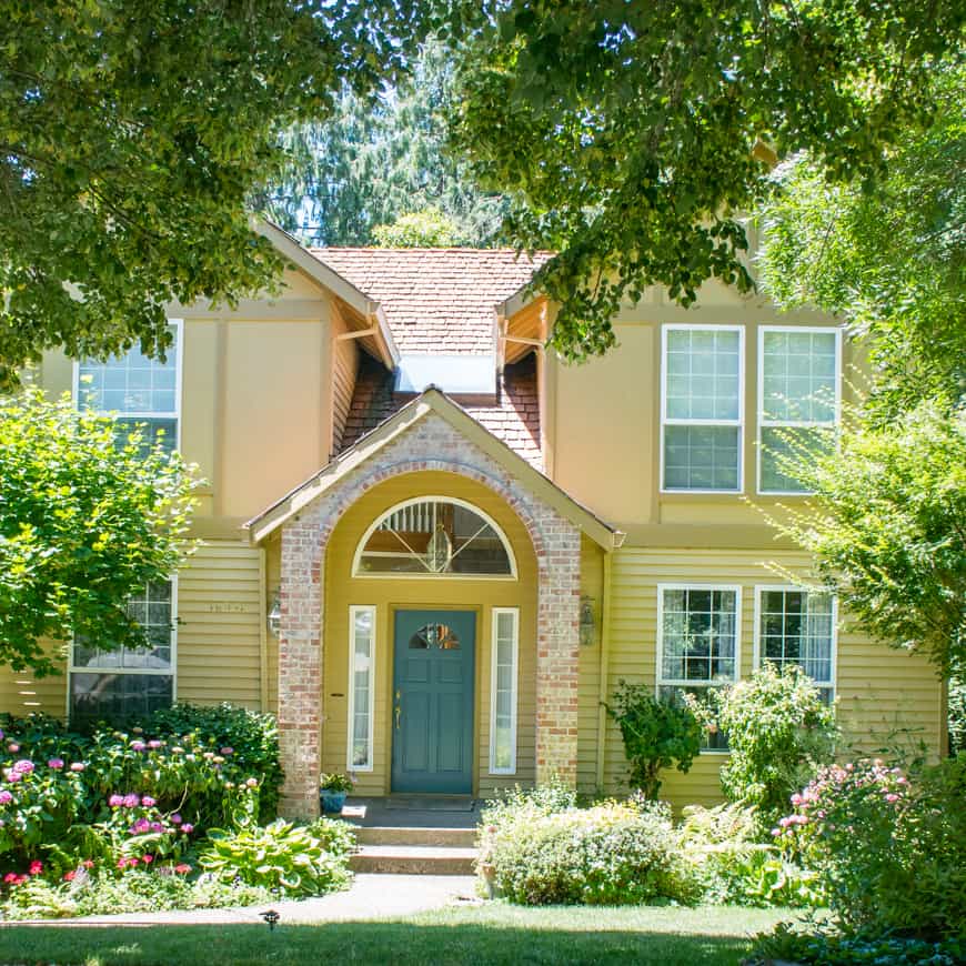
Walking Beaverton; Neighbors Southwest Photo Gallery

Walking Beaverton: Progress Lake | SkyBlue Portland
Walking Beaverton: Westside Regional Trail | SkyBlue Portland
Walking Beaverton: Murray Hill Park | SkyBlue Portland
Walking Beaverton: Barrows Park | SkyBlue Portland
Walking Beaverton: Barrows Park
 | SkyBlue Portland
Walking Beaverton: Barrows Park
 | SkyBlue Portland
Walking Beaverton: Neighbors Southwest | SkyBlue Portland
Walking Beaverton: Progress Lake
 | SkyBlue Portland
Walking Beaverton: Murray Lake
 | SkyBlue Portland
Walking Beaverton: Murray Lake
 | SkyBlue Portland
Walking Beaverton: Murray Lake
 | SkyBlue Portland
Walking Beaverton: Murray Lake
 | SkyBlue Portland
Walking Beaverton: Murray Lake
 | SkyBlue Portland

Written by:
Susan S. Bradley
Published on:
April 29, 2022
Thoughts:
No comments yet

Categories: Walking Beaverton, Beaverton, WalksTags: Beaverton, photo gallery, this northwest life, walking Beaverton, walking route, walking tour

Reader Interactions

Leave a Reply Cancel reply

Your email address will not be published. Required fields are marked *

Primary Sidebar

Welcome to This Northwest Life

https://www.thisnorthwestlife.com/wp-content/uploads/2021/11/This-Northwest-Life-Intro.mp4

This Northwest Life is a celebration of all the reasons we call Oregon and Southern Washington Home. There’s adventure at every turn, from hiking, running, biking, boating, paddle boarding, and kayaking to top-notch restaurants, thriving coffee scene, and award-winning beer and wine culture. Add entrepreneurial fervor, artisan/craft everything, botanical gardens, glorious parks, long stretch of coastline, a whopping big river, and temperate climate and it’s easy to see why.

Search Our Site

Homes for Sale in Beaverton

Murrayhill Pond

Beaverton Market Update

More Great Walks

Willamette Heights View Ridge

Walking Portland: Iconic Northwest Loop + Willamette Heights

This mostly easy 3-mile walk traverses four NW Portland neighborhoods (Pearl District, Northwest District. Nob Hill, Slabtown), with a 2-mile extension into the Arlington Heights neighborhood, plus jaunts along iconic NW 21st and NW 23rd streets.

South Willamette Waterfront

Walking Portland: Johns Landing, Gibbs Street Pedestrian Bridge, South Willamette Greenway

This 5-mile Walking Portland loop features multiple close-in SW Portland neighborhoods–Corbett-Terwilliger-Lair Hill (with Johns Landing) and South Waterfront (along South Willamette Greenway Trail).  

Walking Sellwood-Moreland: Oaks Bottom Overlook, Westmoreland Park, Garthwick Loop

Walking Sellwood-Moreland. So close to downtown Portland (doable distance along the Willamette Greenway Trail) and yet it’s own distinct world. You’ll feel it as you walk the older neighborhoods, ogle the private gardens and public parks, explore the indie shops, and treat yourself to local coffee and eats. You may not want to leave.

Portland Moving Into Fall | SkyBlue Portland

Walking Portland: Alameda Ridge & Beaumont-Wilshire

Stunning homes (many historic), breathtaking views, and ELEVEN staircases—ranging from 30 to 127 steps—give Portland’s otherworldly NE Alameda Ridge neighborhood its special vibe.

Walking Portland: Lower Macleay Trail, Wildwood Trail, Willamette Heights

This 5-mile, moderately challenging walk loop–including Balch Creek Gulch Bridge high above Lower Macleay Park– meanders uphill to one of the most beautiful neighborhoods in Portland–Willamette Heights.

Walking Portland Metro: All Our Route Maps

Here you’ll find pointers to our growing collection of Portland Metro custom-curated walks, each with turn-by-turn route maps you can follow on your iPhone while exploring the city. How sweet is that?

Walking Portland: Woodstock

This scenic walk showcases one of Portland’s most distinctive, vital SE neighborhoods–an eminently walkable community with a vibrant core and abundance of beautiful older homes, many boasting stunning views.

Walking Portland: NW Pearl District, Nob Hill & Kings Heights Loop

This scenic walk features three adjacent Northwest Portland neighborhoods–two of which are undergoing major building spurts and one of which is a showcase of stunning view homes with million dollar price tags.

Footer

SkyBlue Portland Real Estate Group

Premiere Property Group, LLC

5000 Meadows Road. Suite 150

Lake Oswego OR  97035

Copyright © 2022 · Navigation Pro on Genesis Framework · WordPress · Log in

  • Block Examples