Thinking about walking Milwaukie, Oregon? We’ve got the map.
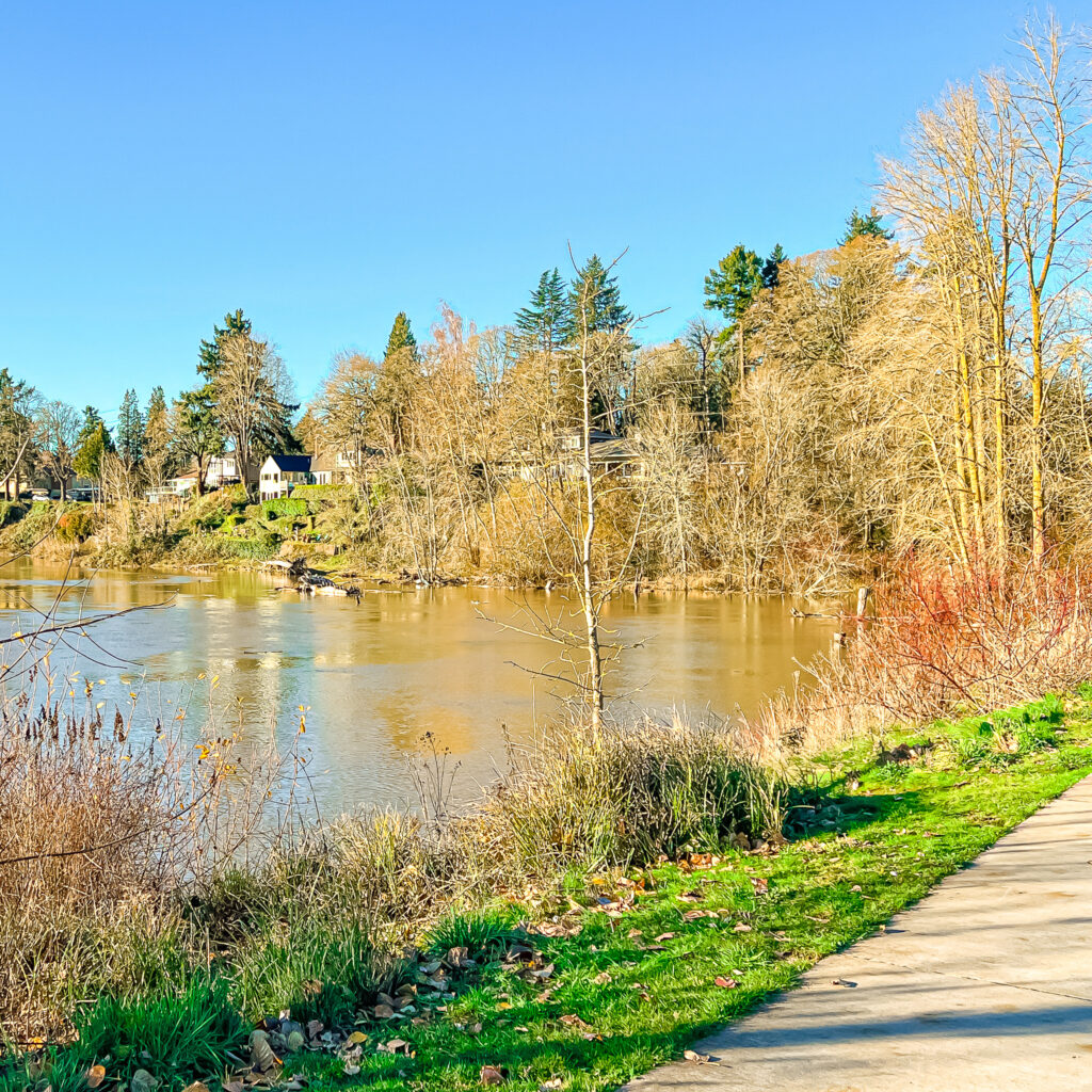
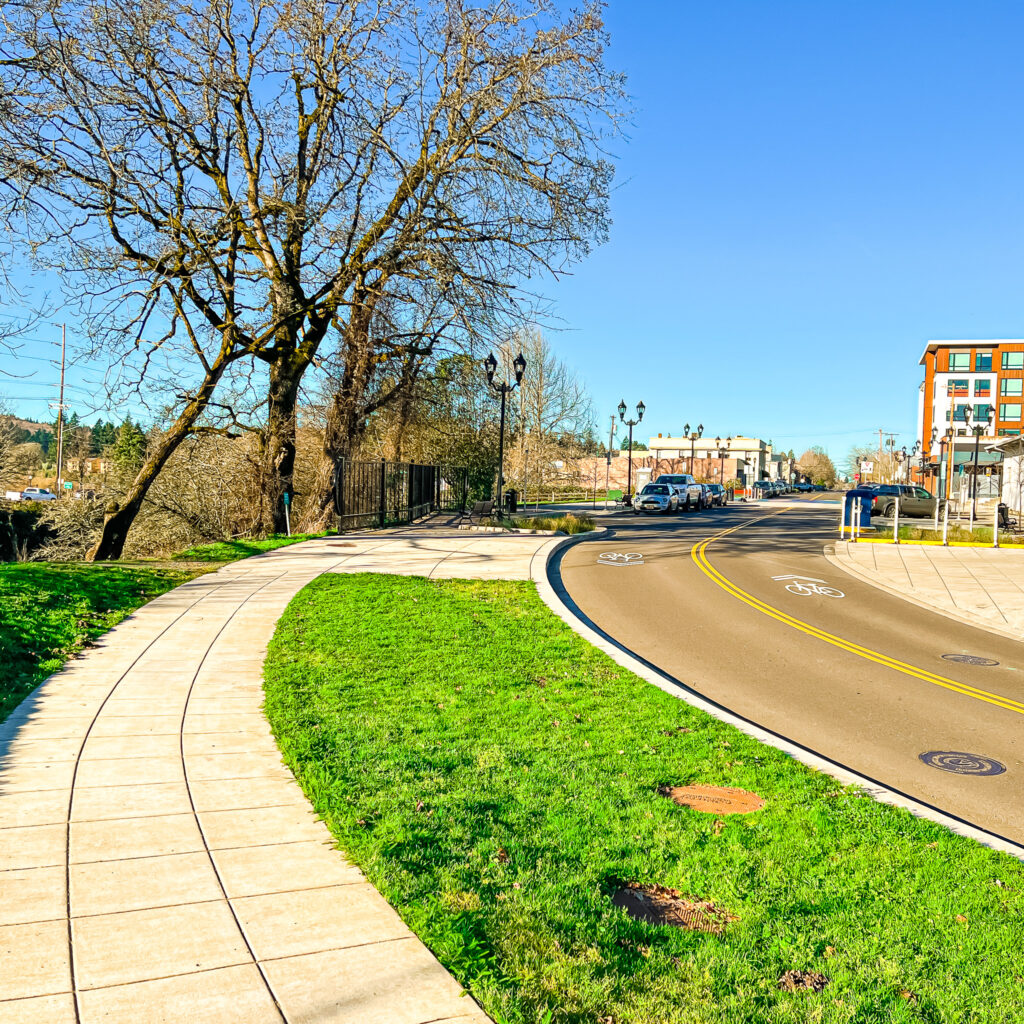
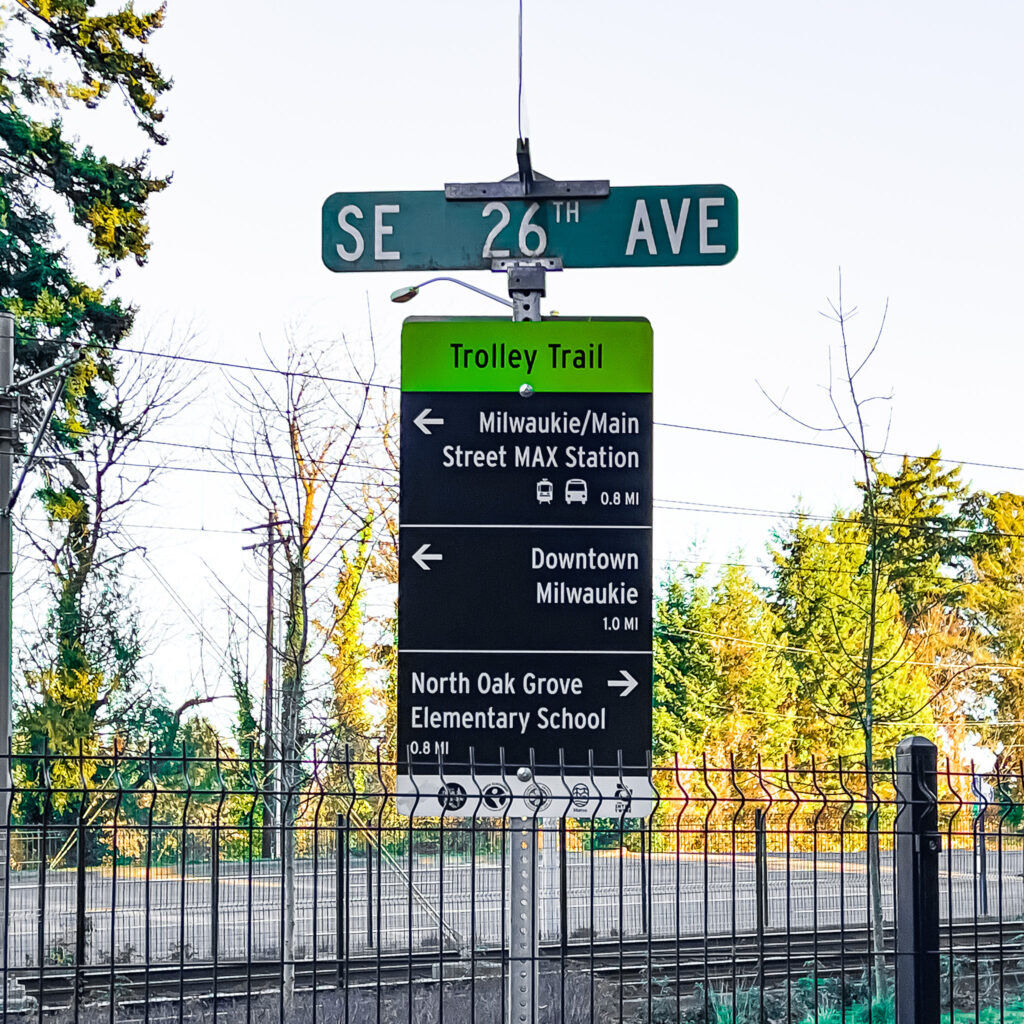
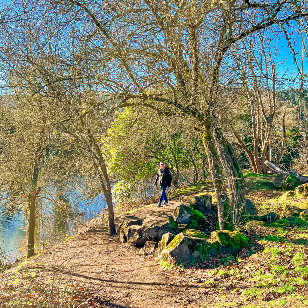
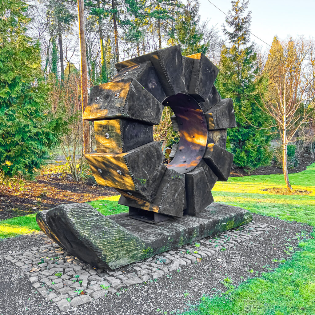
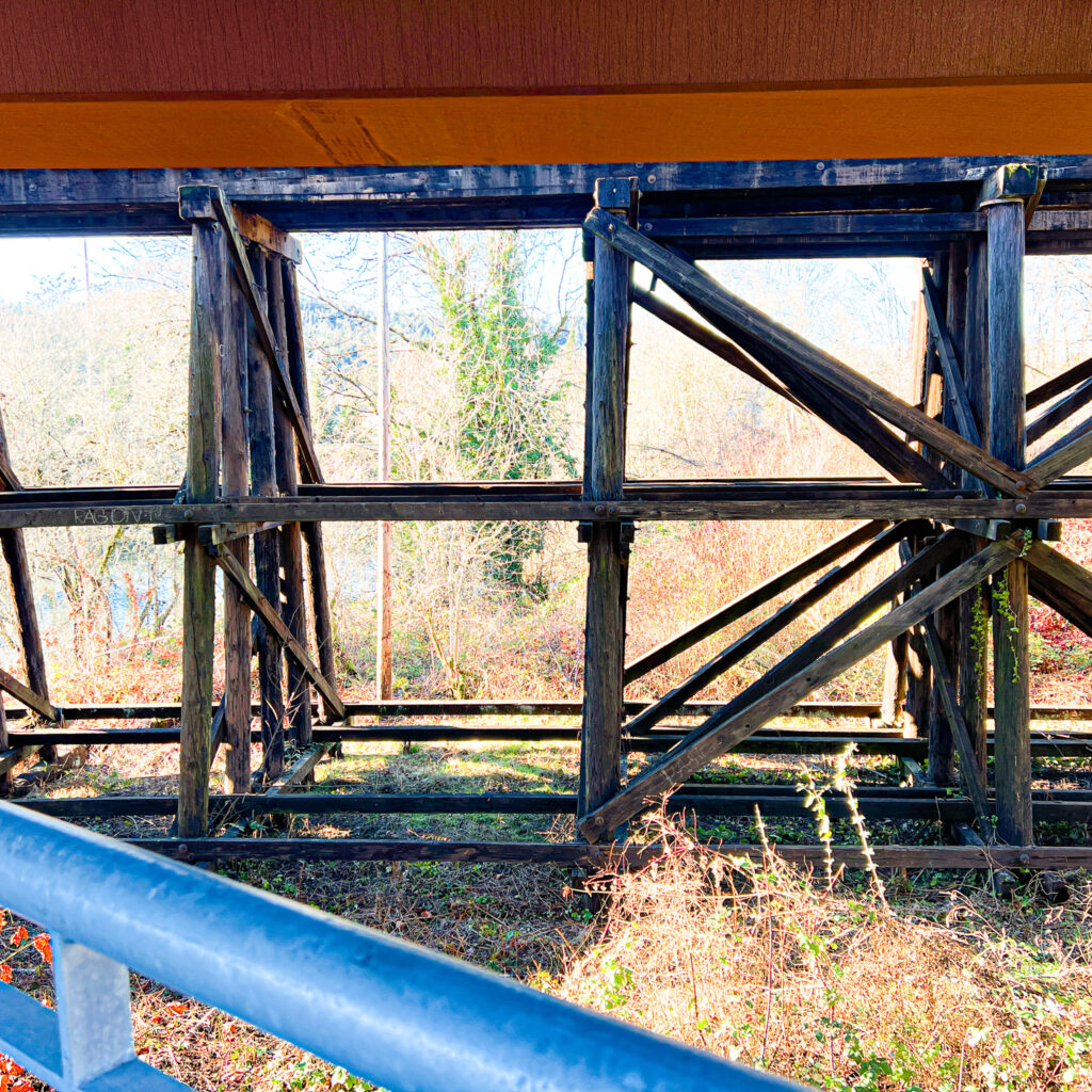
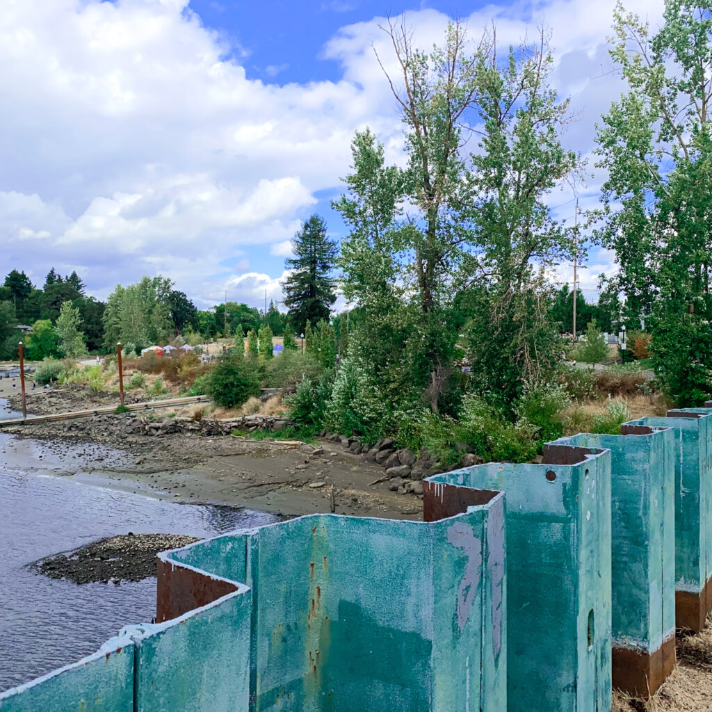
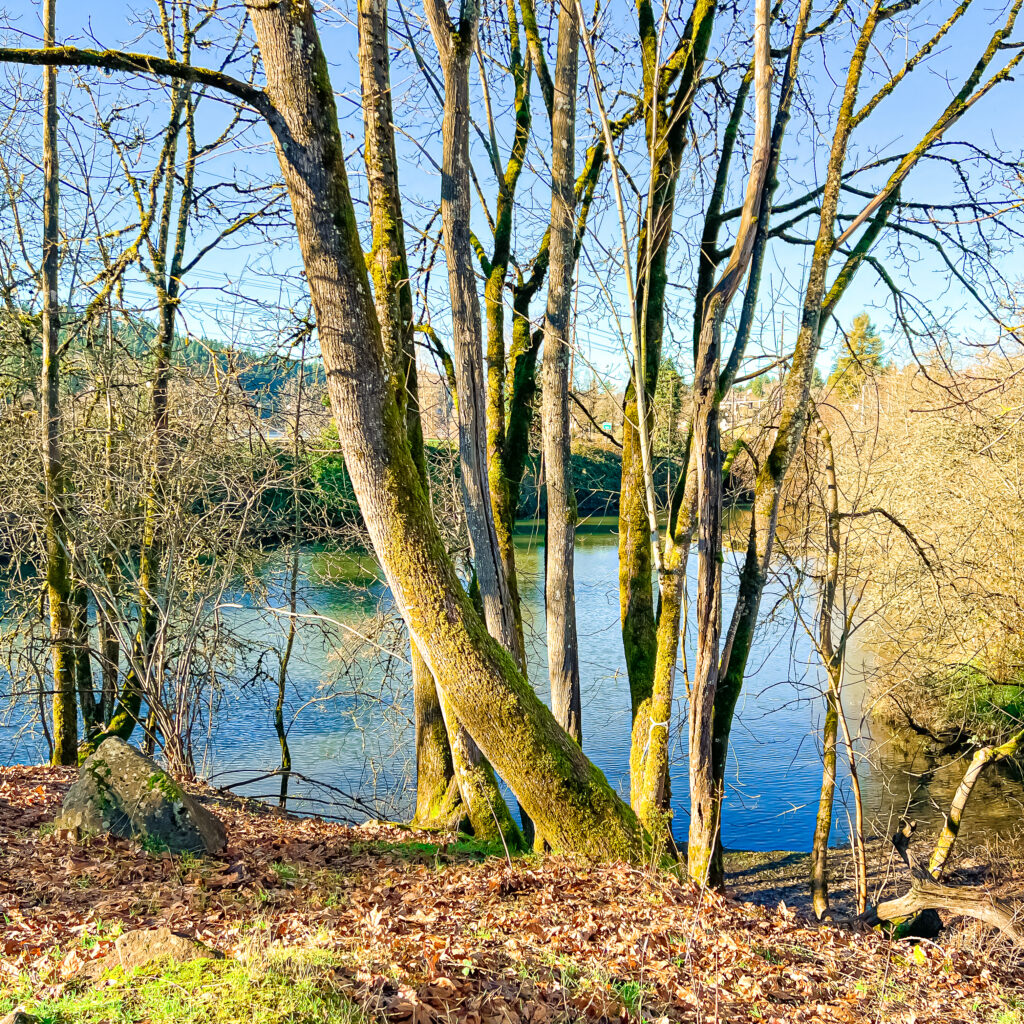
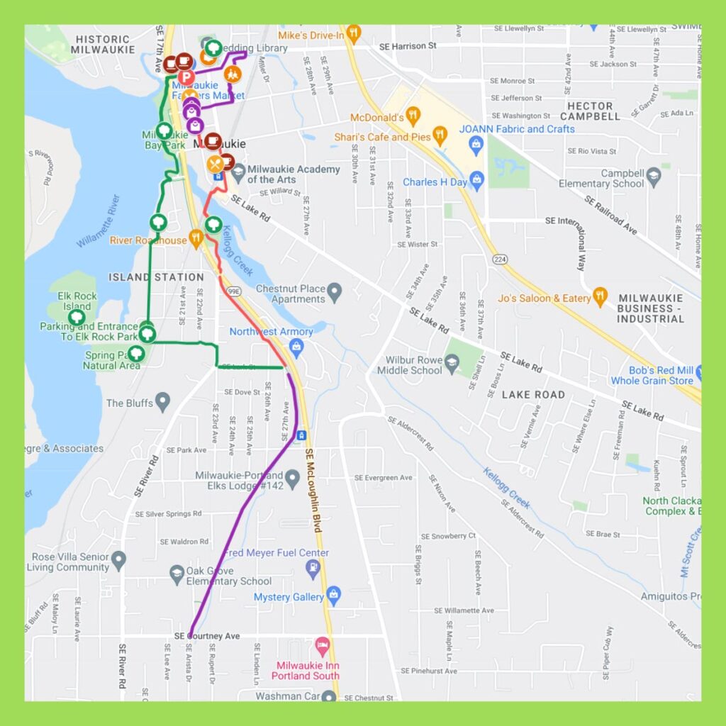
This is one STUNNER of a walk, much of it hugging either the Willamette River or Kellogg Creek. You’ll see four parks along the route: Milwaukie Bay Park, Spring Park, Kronberg Park and Scott Park. Plus Elk Rock Island. Additionally you’ll stroll two miles along Trolley Trail (5.5 mile Milwaukie to Gladstone paved trail) with several beautiful sculptures along the way. Definitely pack a camera.
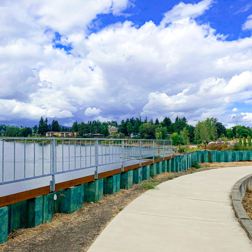
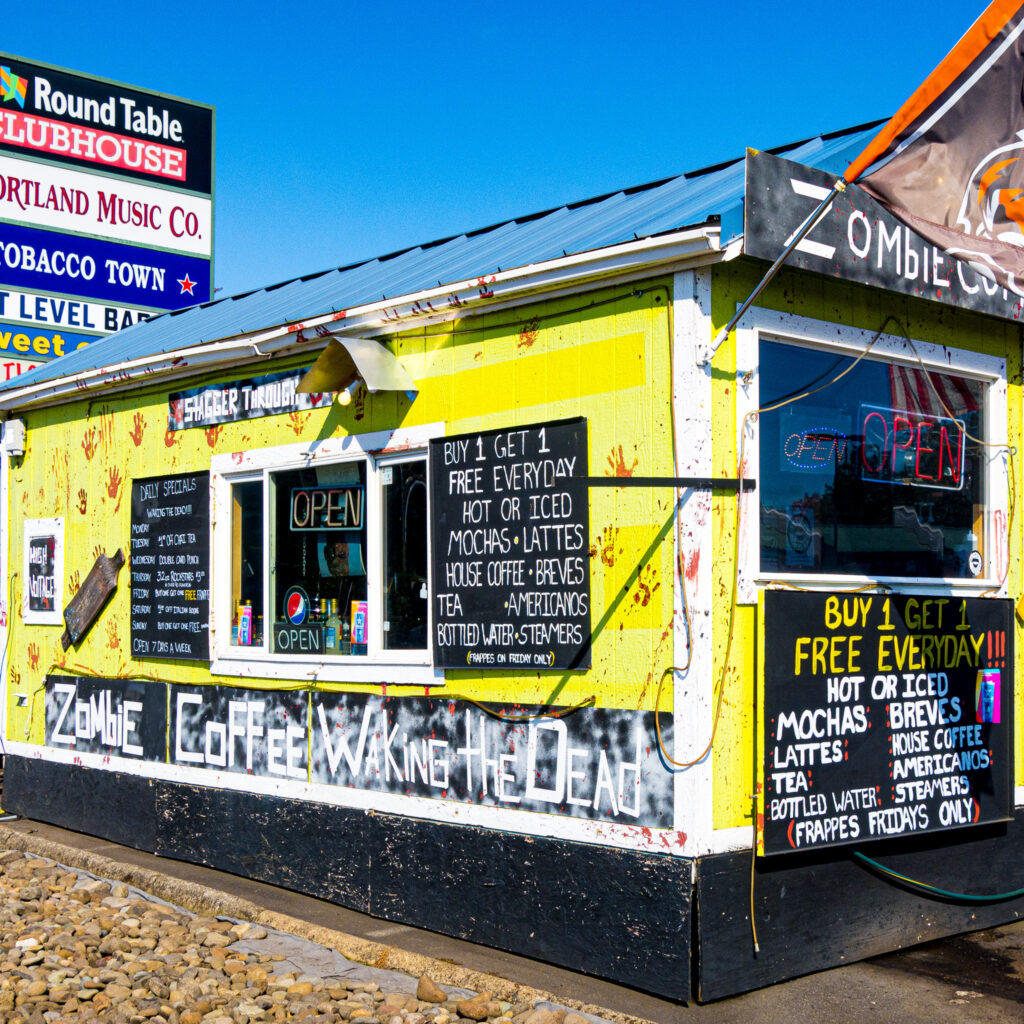
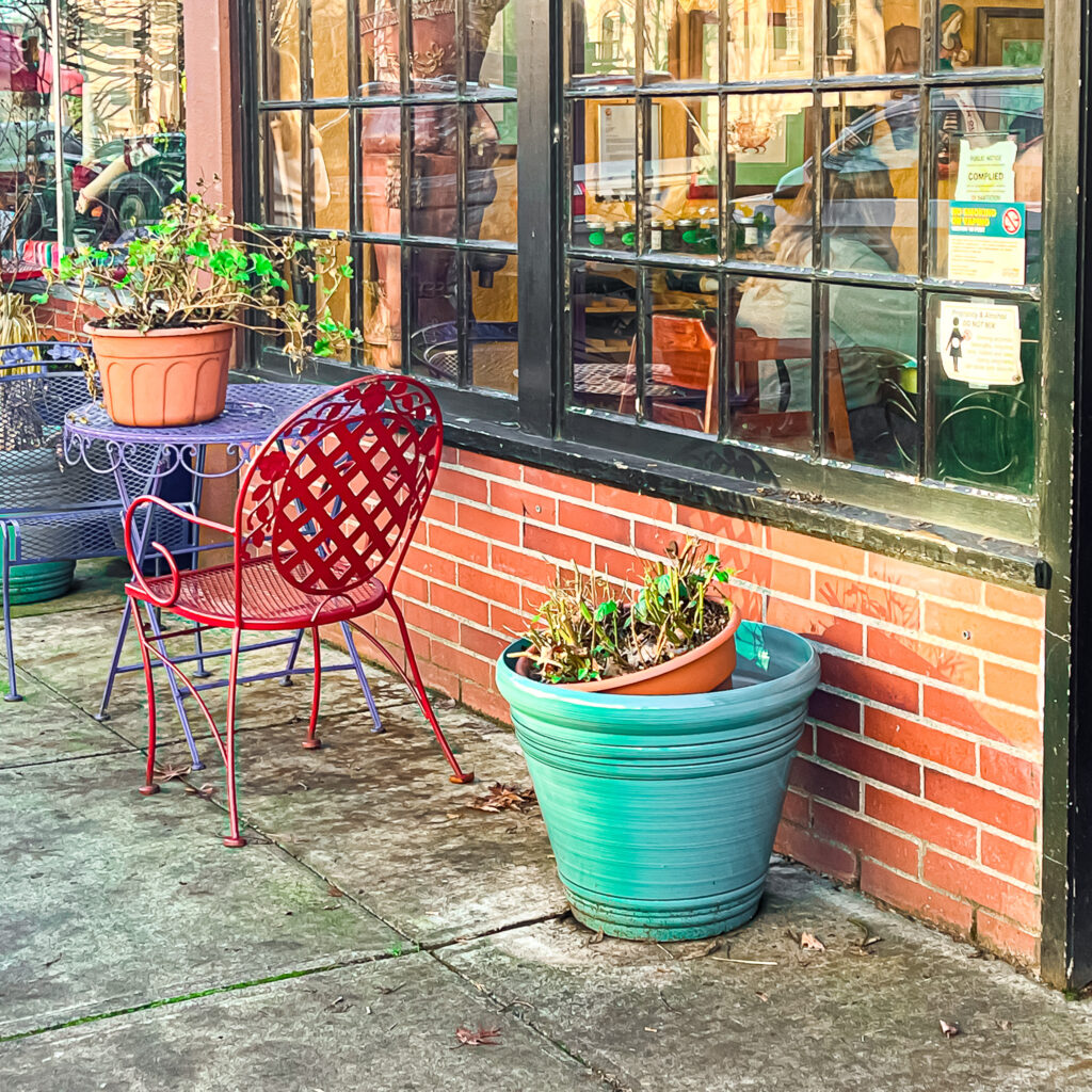
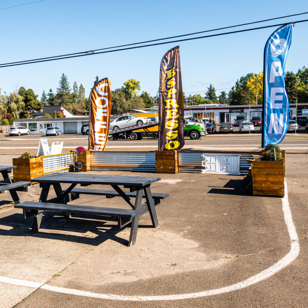
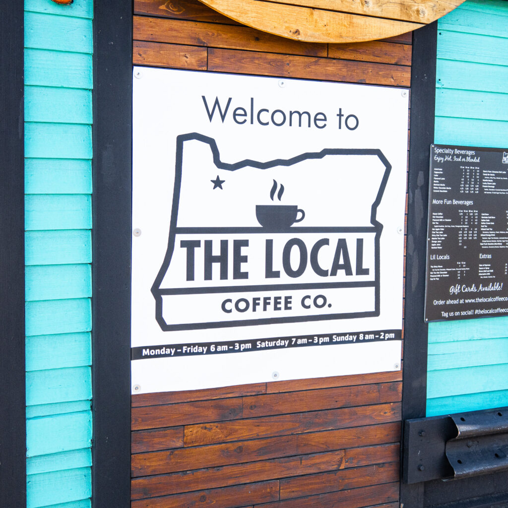
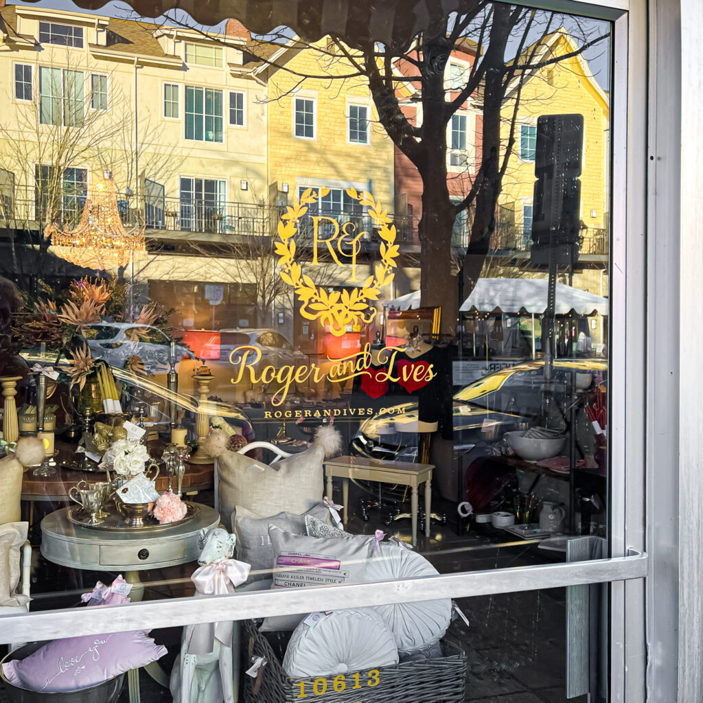
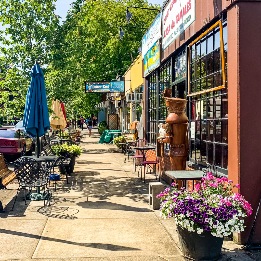
Milwaukie delivers a great all-season walk, with eye candy the entire route, a slew of funky cool shops, diverse local coffee enclaves, lively pubs, and in summer months an otherwise inaccessible island you’ll want to explore.

Walking Milwaukie Route Map (Online, Interactive)
Our route maps are designed so you can both follow and keep track of where you are on the route from your iPhone while walking. On your computer, save the route map to your bookmarks bar and then open that link from your iPhone.
While walking, open the Legend field on the map to get turn-by-turn directions. If Google Maps is tracking properly (occasionally, in some areas, it glitches) you’ll see a small blue ball that represents you on the map. That helps to keep track of where you actually are on the route. Get the map.
Coffee Shops
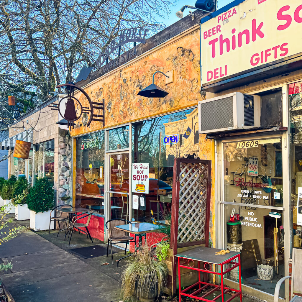
You’ll find several local options in town, each of them with its own unique offerings and vibe. We love Wind Horse Coffee and Rohst Coffee.

Wind Horse is tops for unique ambiance. The décor is old time wild west. But the coffee is crafted to modern standards.
Walk Details
While walking, open the Legend field on the map to get turn-by-turn directions. If Google Maps is tracking properly (occasionally, in some areas, it glitches) you’ll see a small blue ball that represents you on the map. It enables you to see where you actually are on the route.
ROUTE MAP: Click here
PARKING: Free weekday parking at Milwaukie Farmers Market parking lot location. (10723 SE Main Street)
DISTANCE: 5+ miles.
TIME: 2-3+ hours.
TERRAIN: Mostly flat city sidewalks and trails with a few rolling hills.
DIFFICULTY: Mostly easy with numerous potential rest stops along the route. And fun!
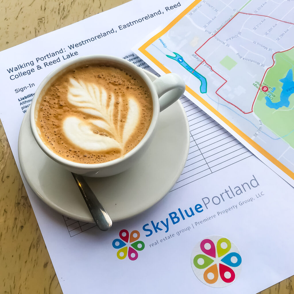
Preparing for an upcoming SkyBlue Portland walk. We’re your team!
Monthly Group Walks
SkyBlue Portland Real Estate Group hosts monthly group walks through some of Portland Metro’s most beautiful, uplifting, and interesting neighborhoods.
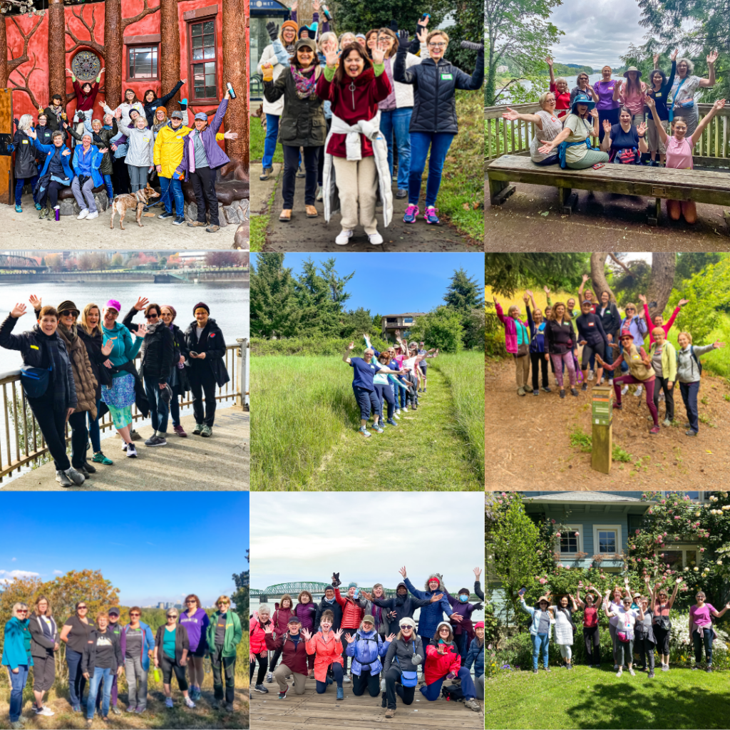
For info on our Portland Metro walking tours, check out our Facebook page, Women Who Walk and corresponding Meetup (PDX Women Who Walk. And join us!
Milwaukie Photo Gallery