Walking Sellwood-Moreland. So close to downtown Portland (doable distance along the Willamette Greenway Trail) and yet it’s own distinct world. You’ll feel it as you walk the older neighborhoods, ogle the private gardens and public parks, explore the indie shops, and treat yourself to local coffee and eats. You may not want to leave.
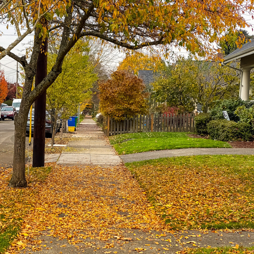
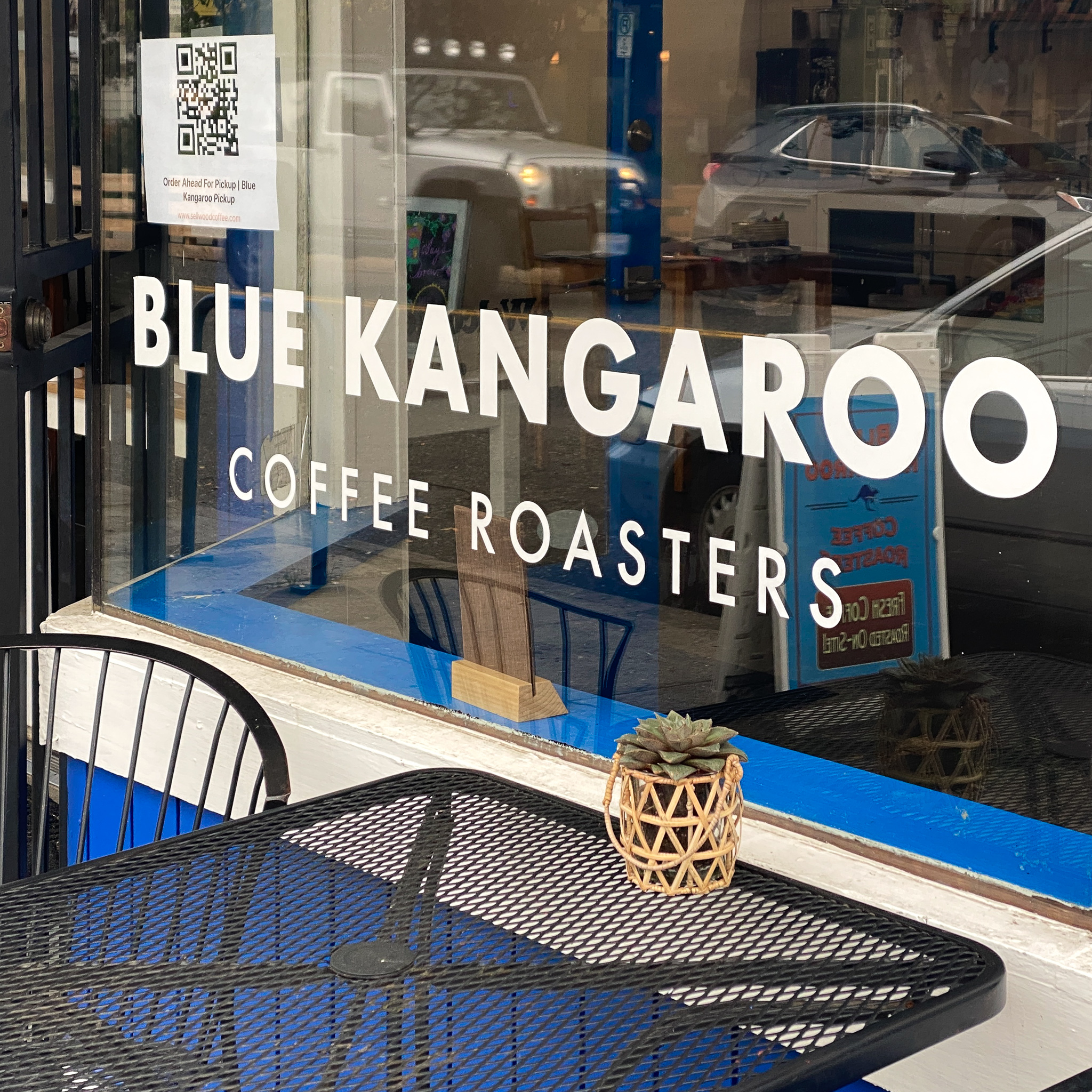
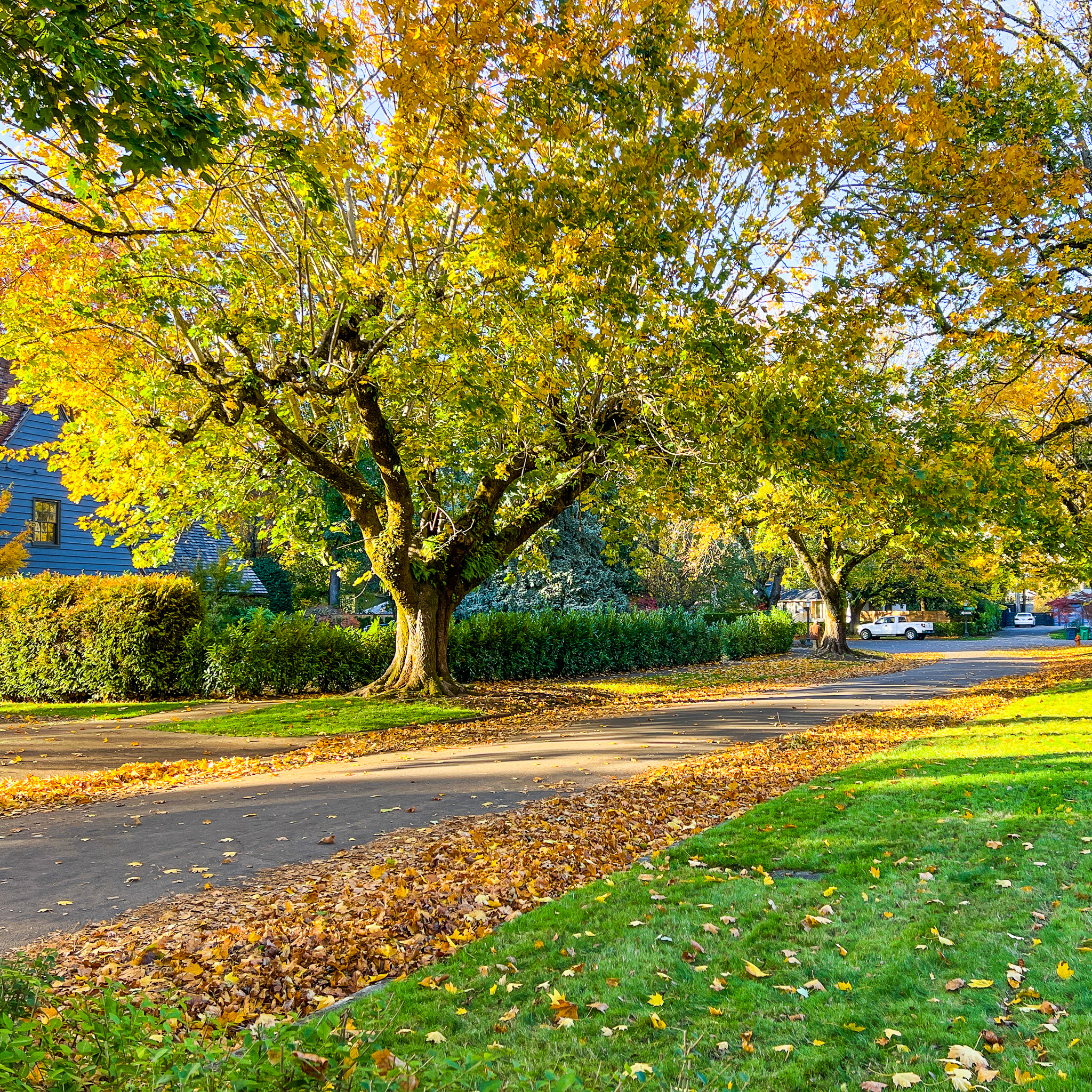
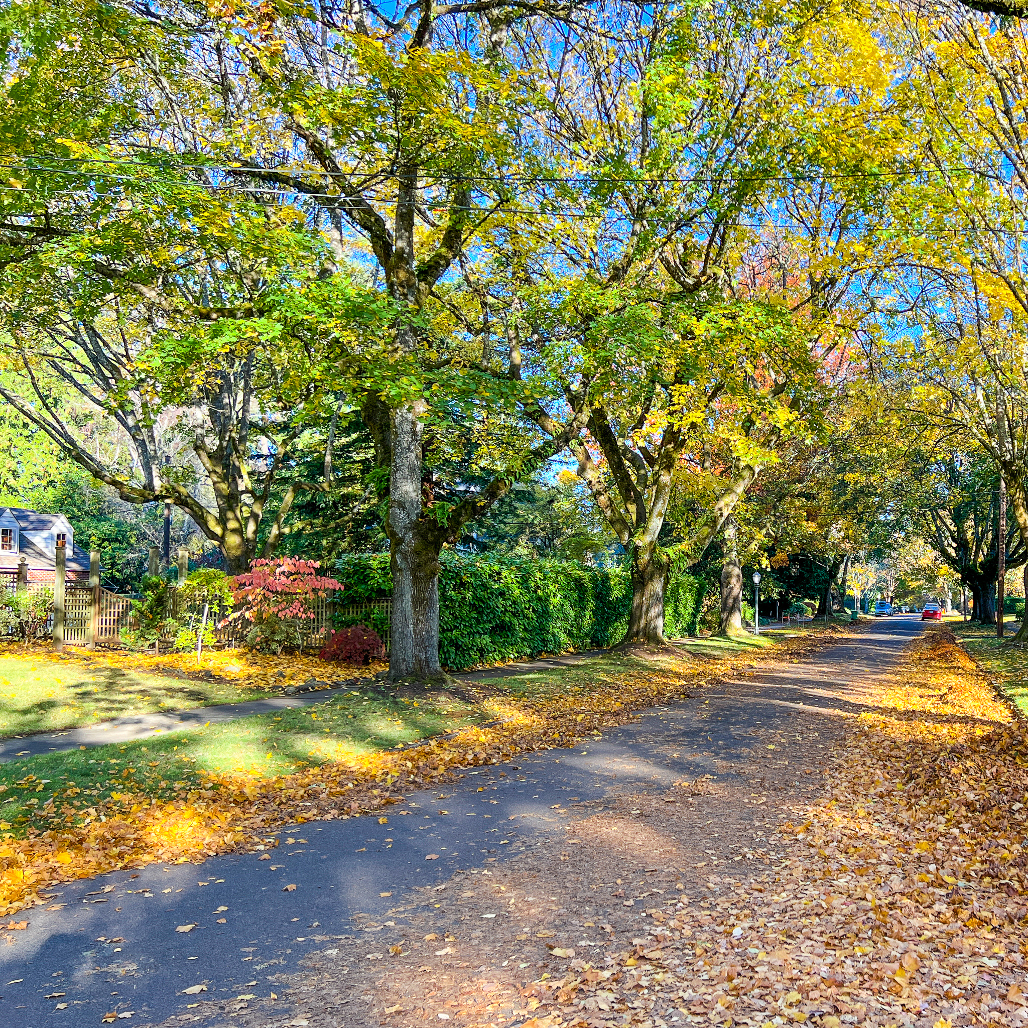
This 5-mile, flat, easy, mostly city sidewalks route offers many of the pluses of the nearby big city–local coffee roasters and shops, top-notch bakeries, vintage shops, fashion enclaves, fine art collectives, eclectic eats–plus a stunning view stretch overlooking Oaks Bottom, optional romp through beautiful Westmoreland Nature Park, and concluding meander through an otherworldly neighborhood hugging Waverley Golf Course. You’ll want to walk Sellwood-Moreland again and again, in all seasons.

(Remember, in reverse or on the opposite side of the roadway, it will feel like a completely different walk. Thus every route map we create offers at least three different walks.)
Online Interactive Walking Route Map
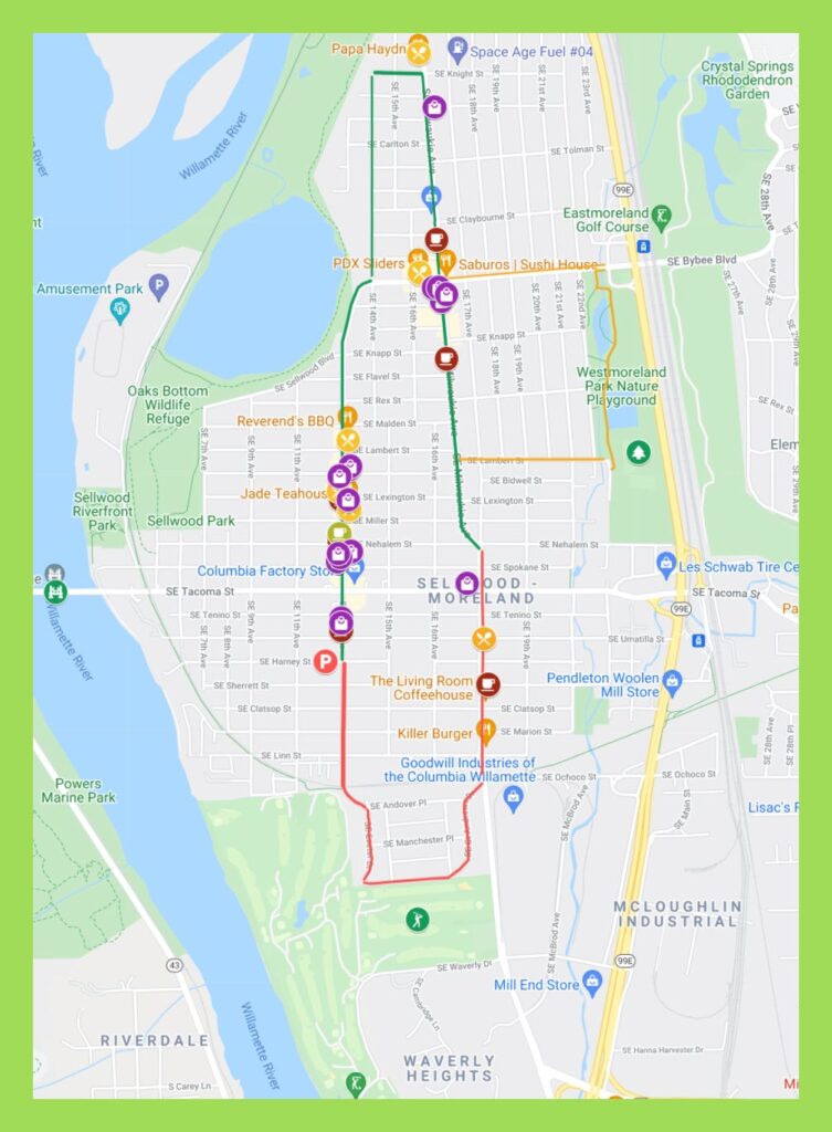
Our route maps are designed so you can both follow and keep track of where you are on the route from your iPhone while walking. On your computer, save the route map to your bookmarks bar and then open that link from your iPhone.
While walking, open the Legend field on the map to get turn-by-turn directions. If Google Maps is tracking properly (occasionally, in some areas, it glitches) you’ll see a small blue ball that represents you on the map. That helps to keep track of where you actually are on the route.
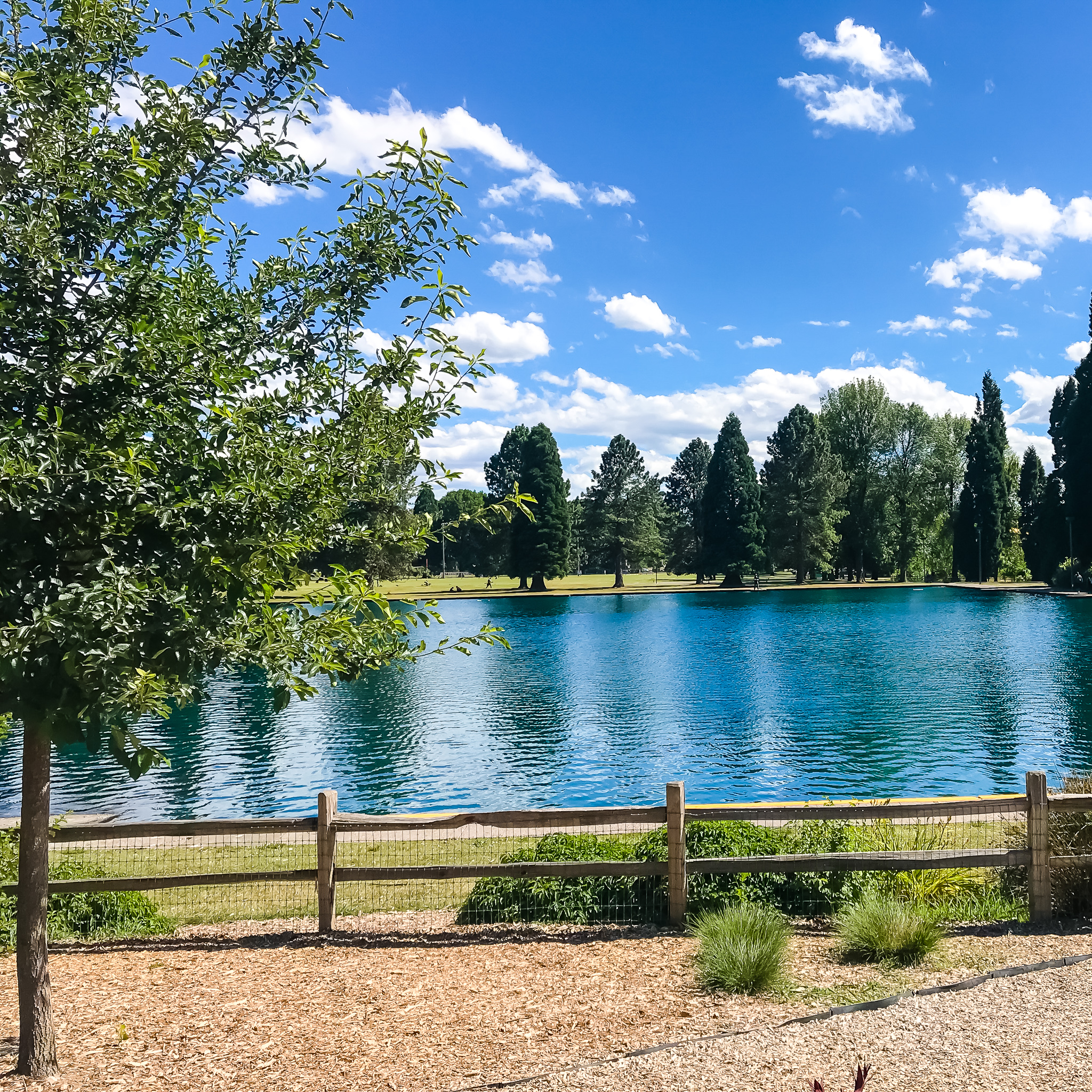
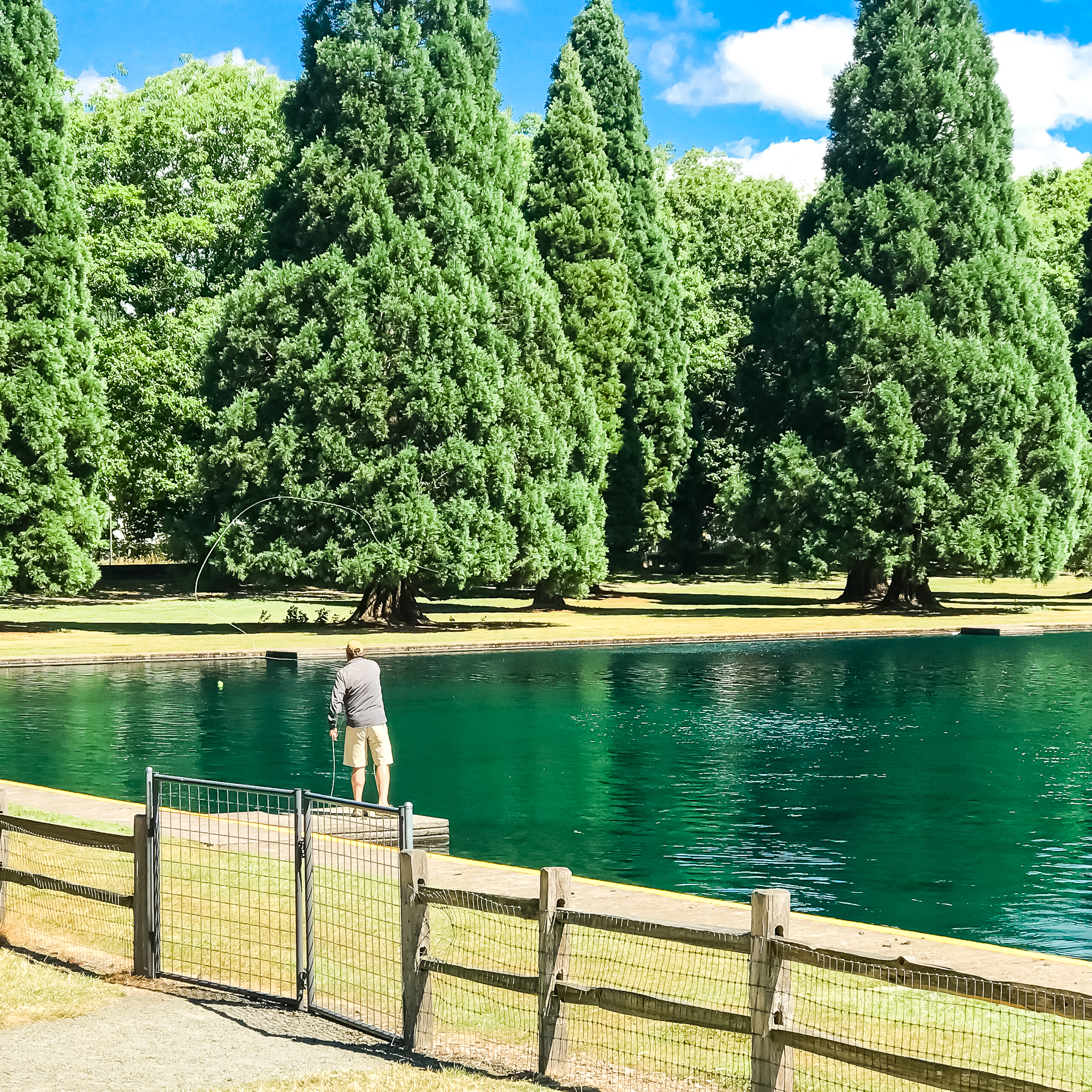
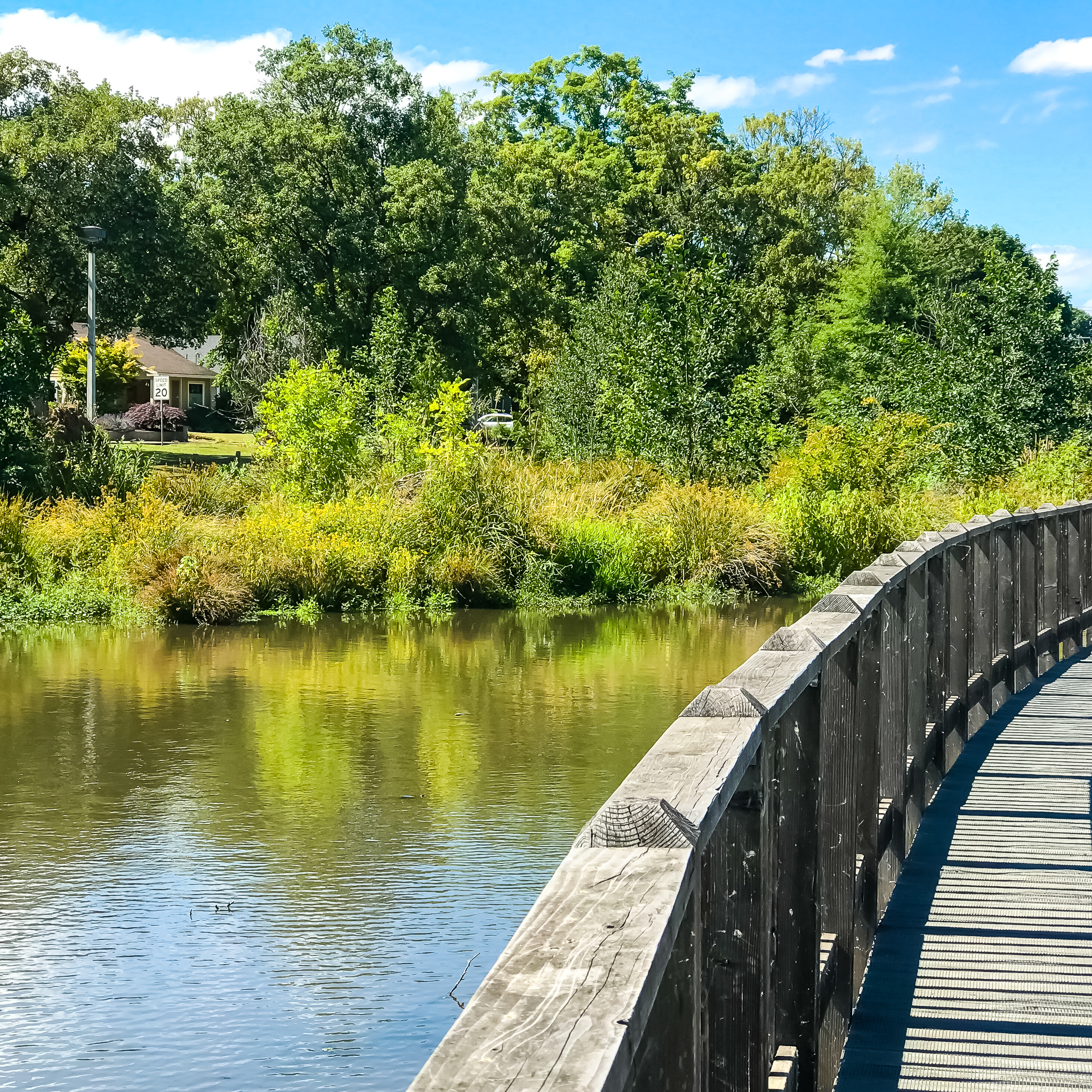
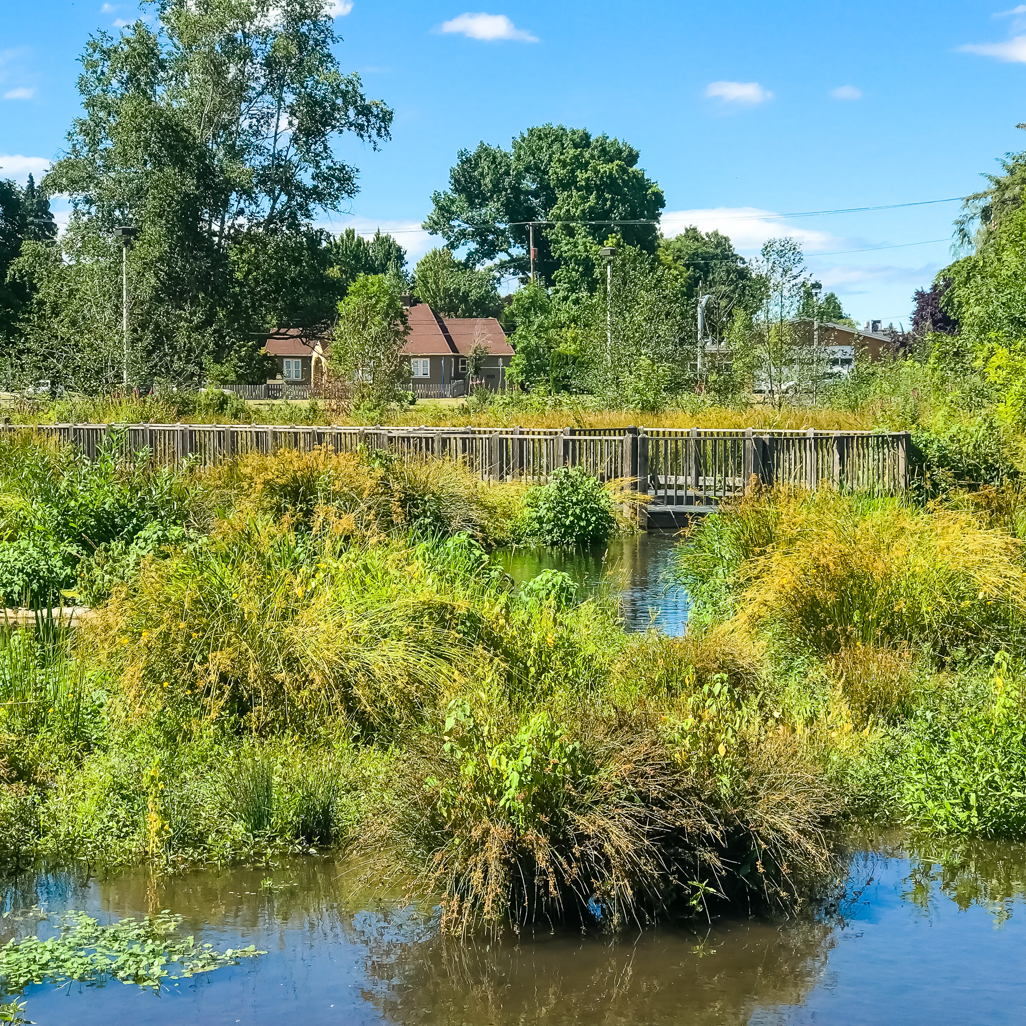
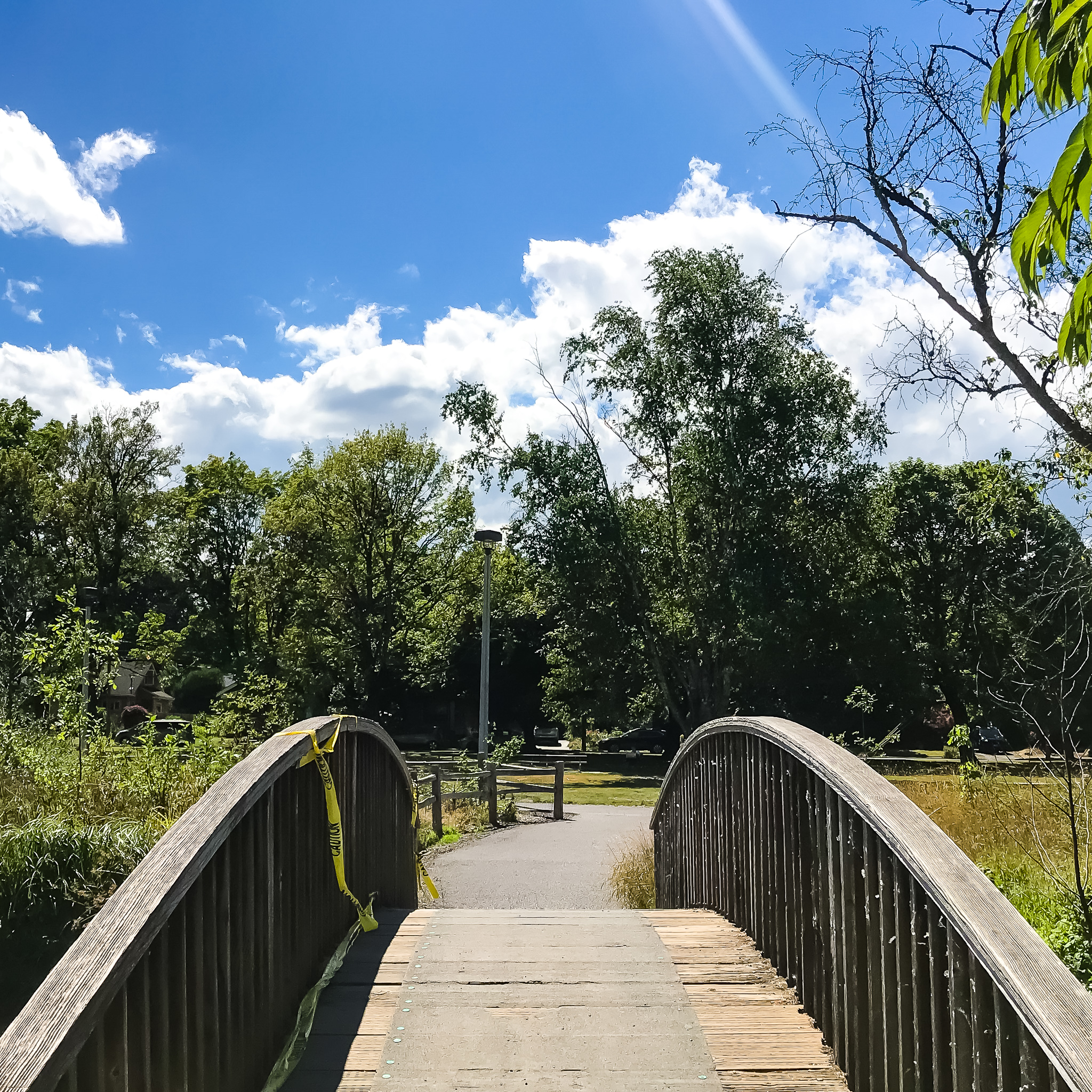
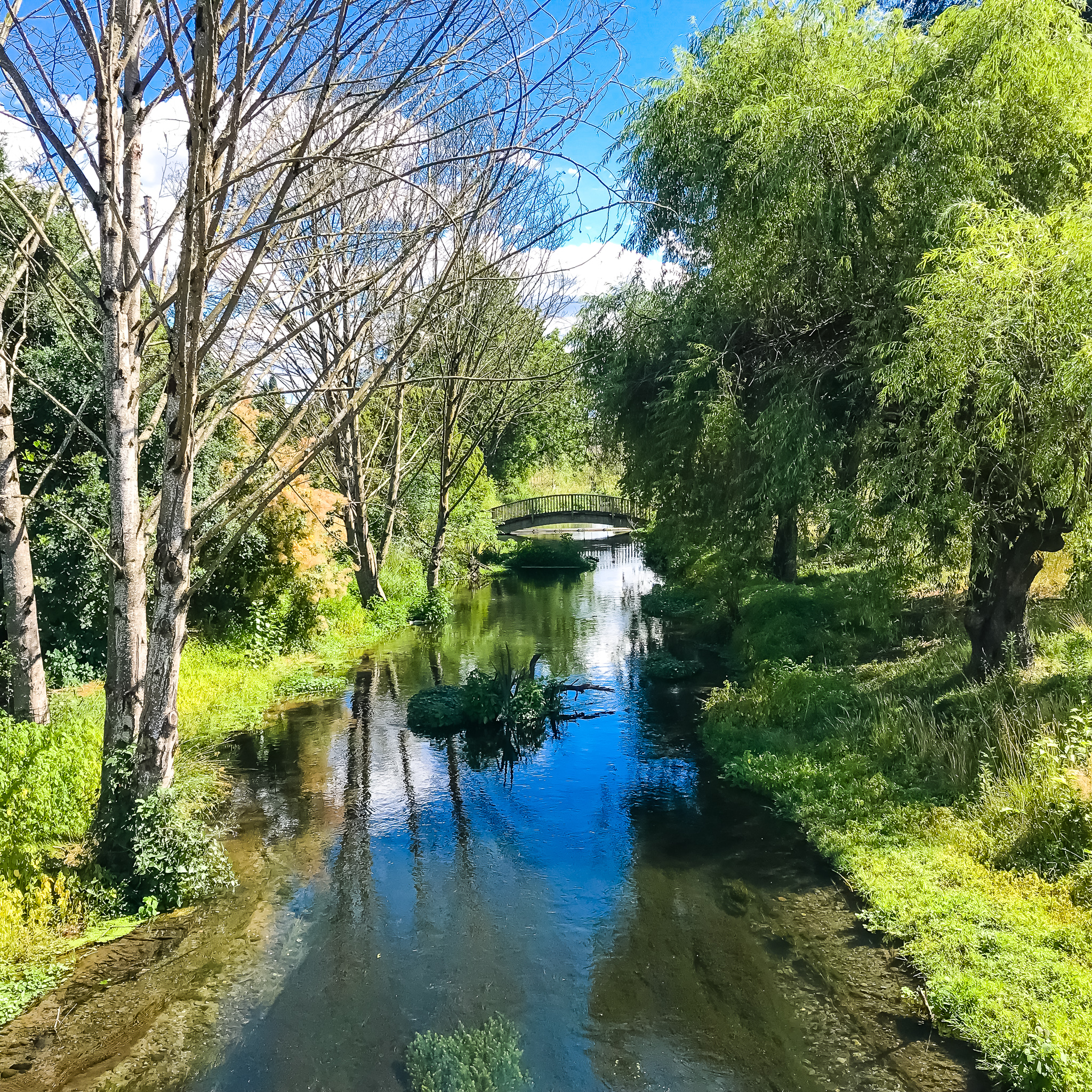
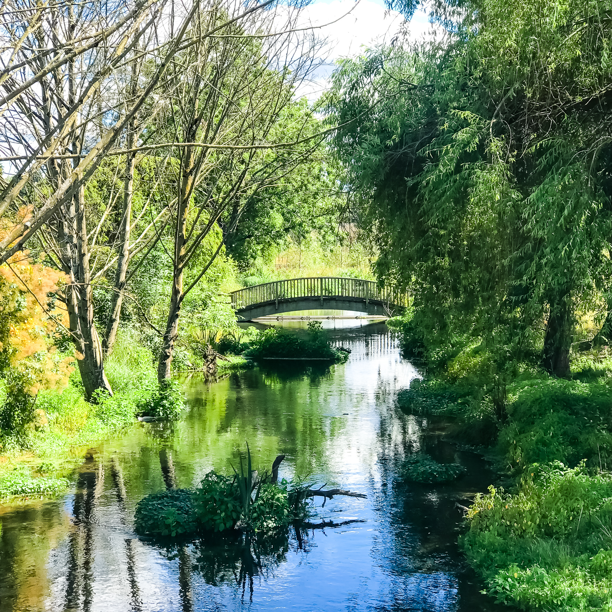
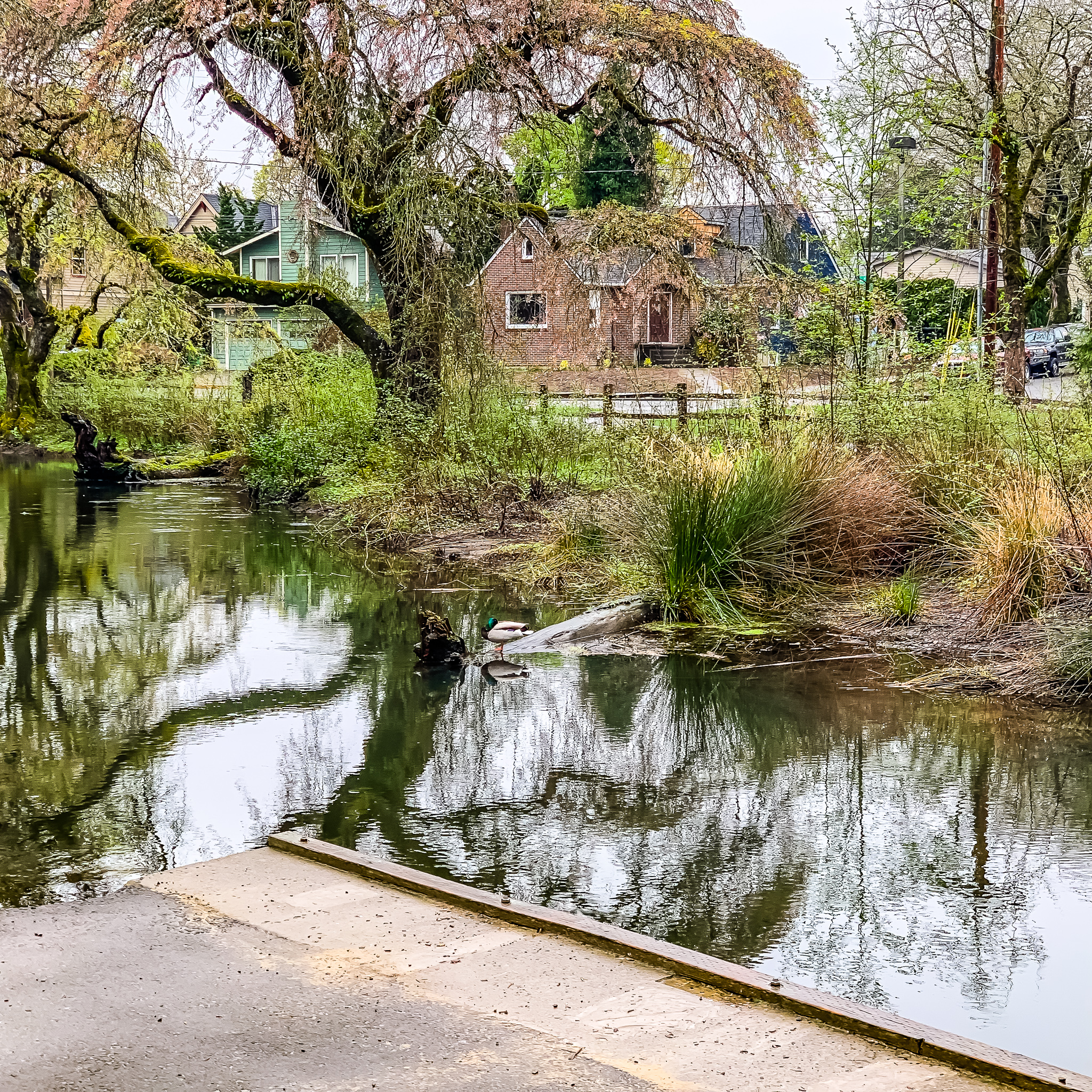
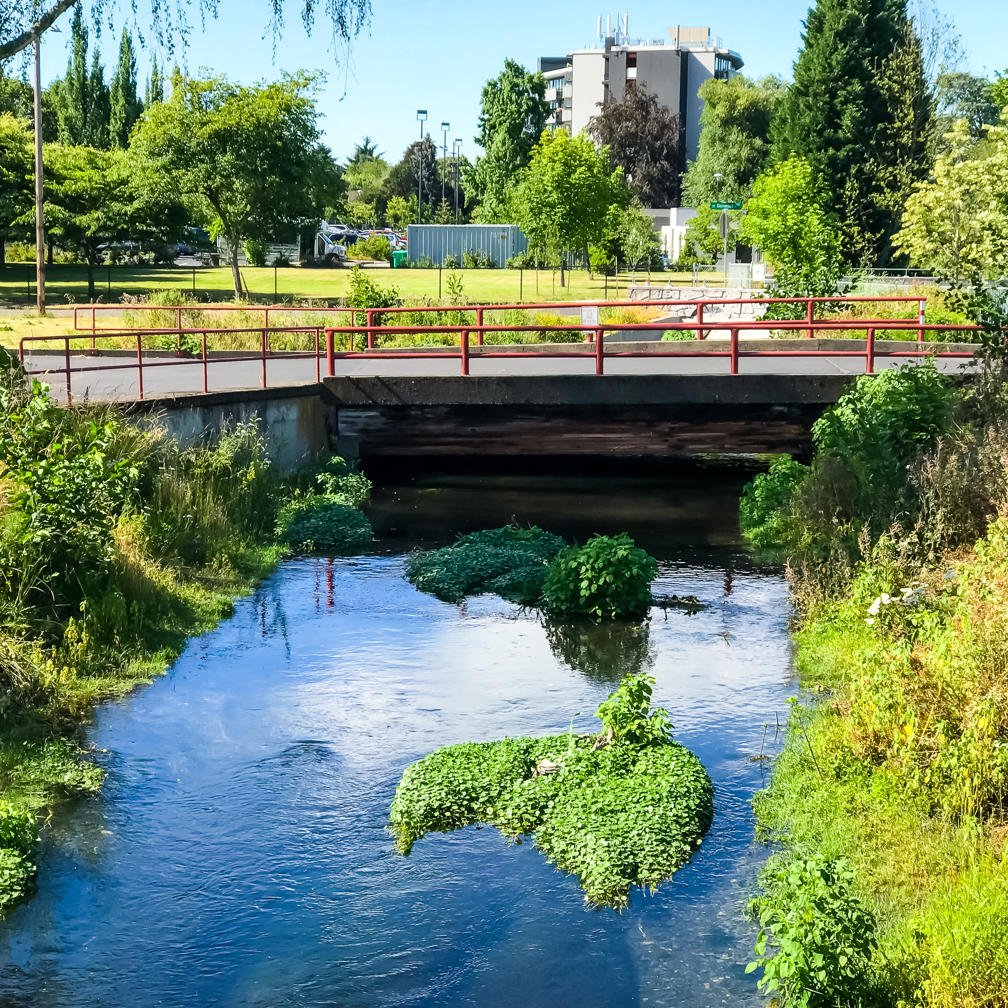
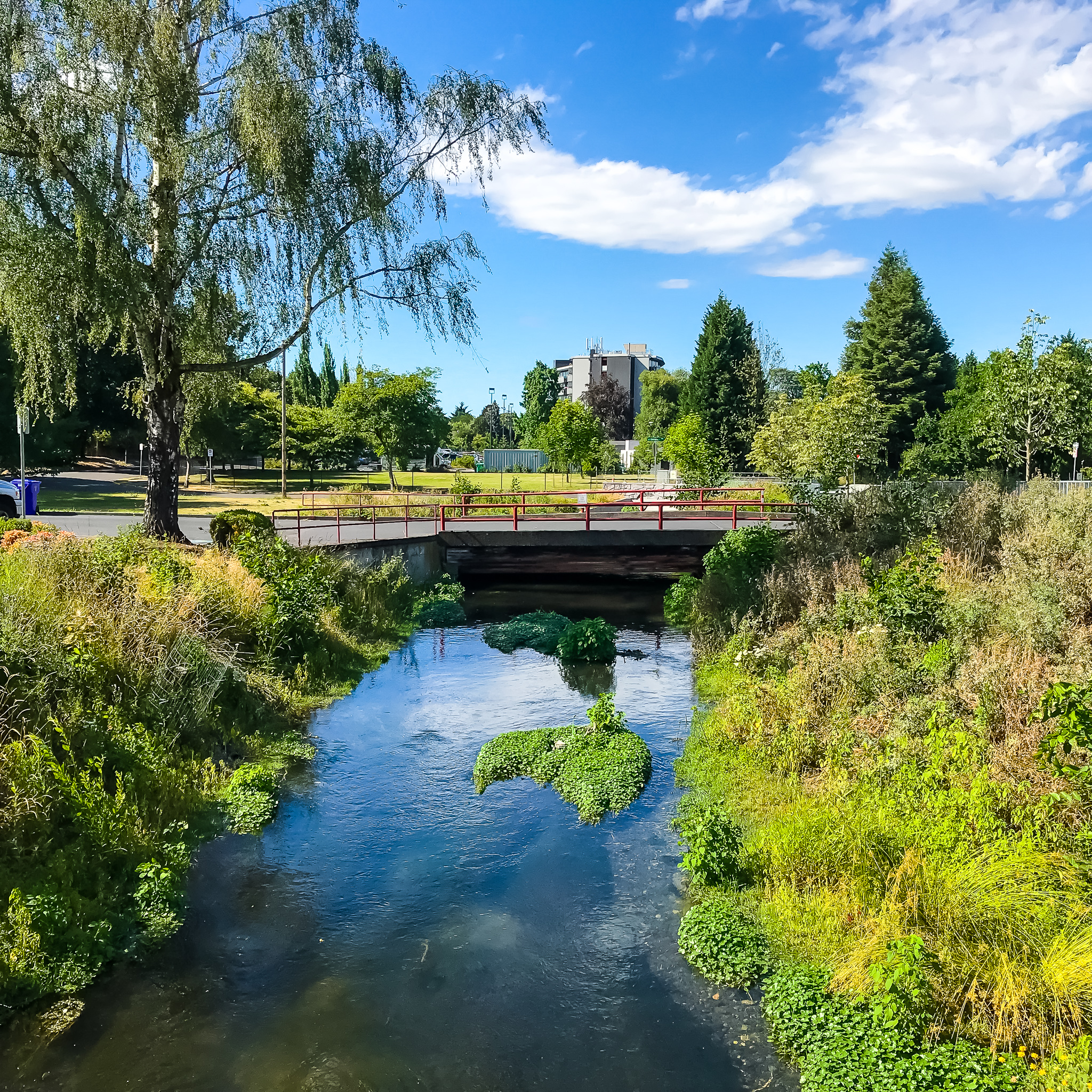
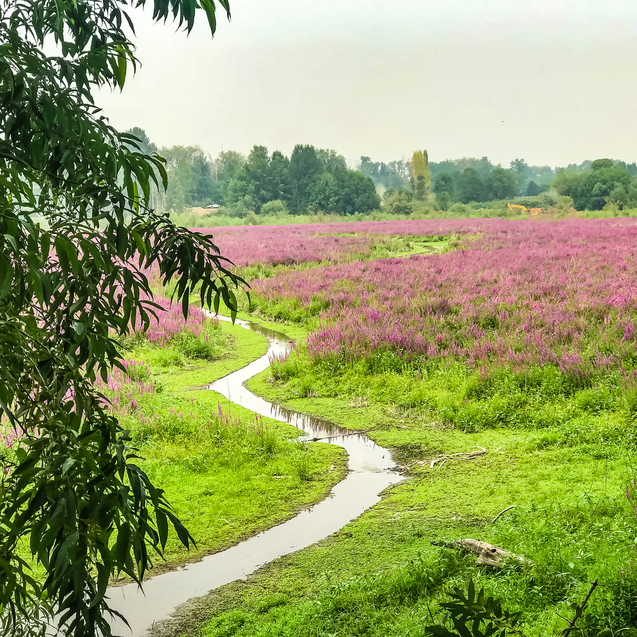
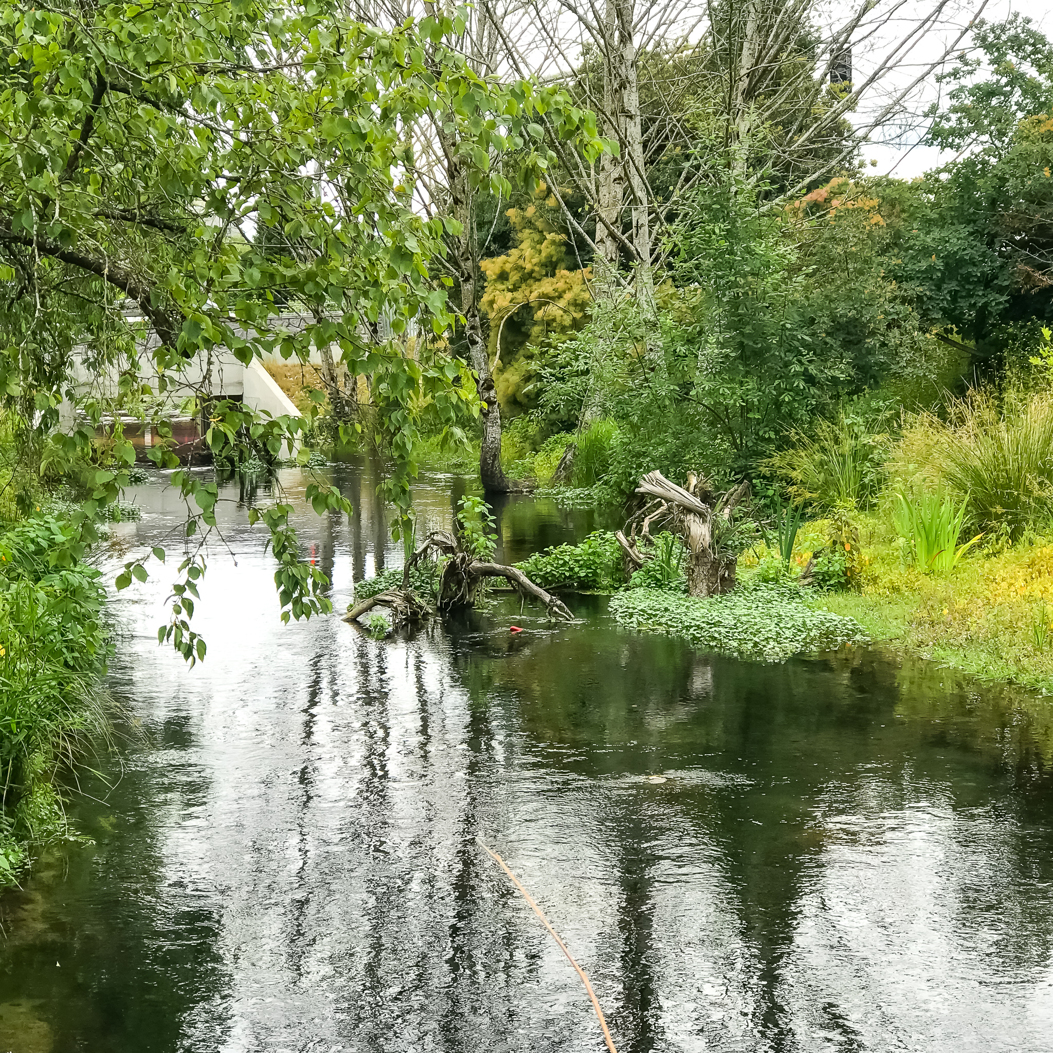
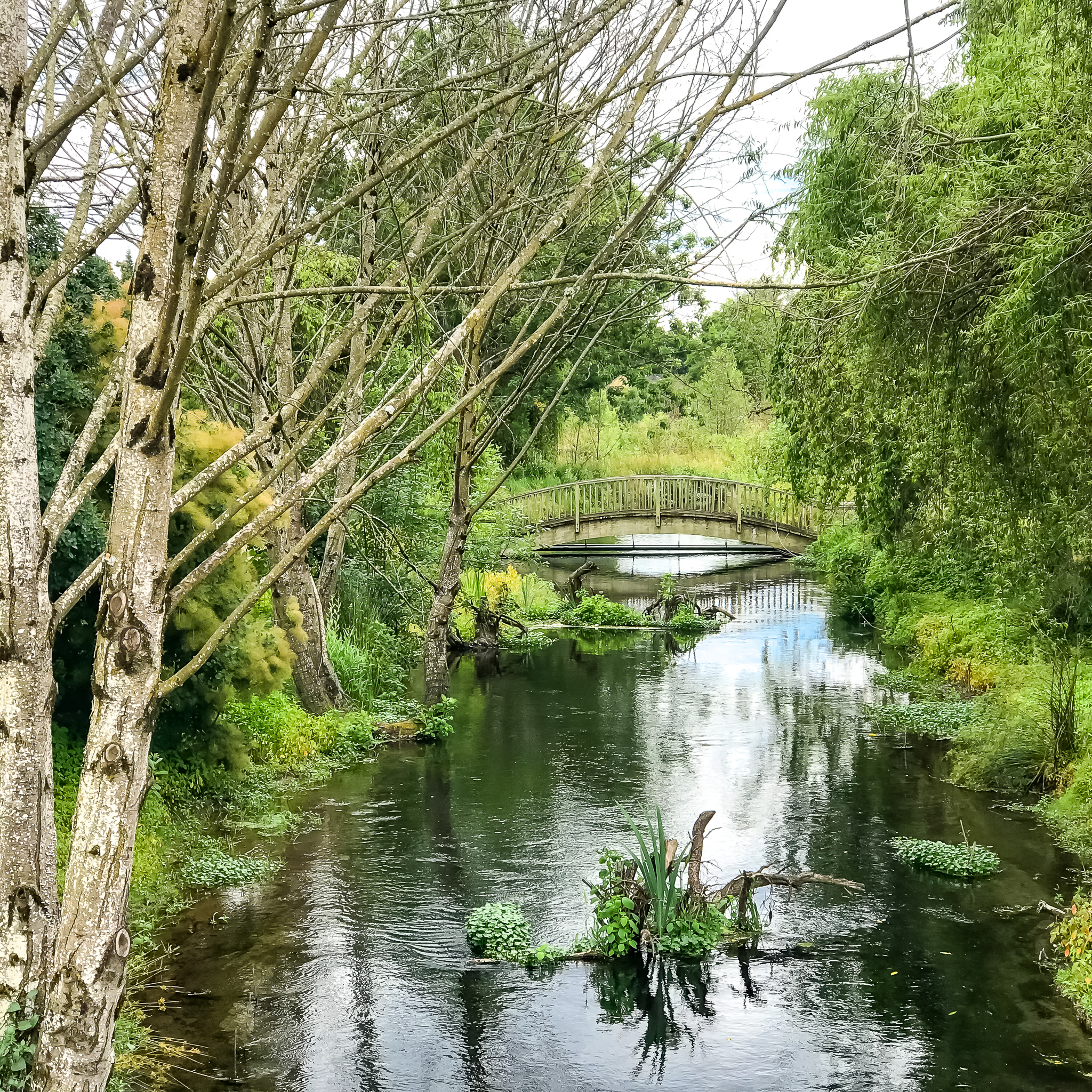
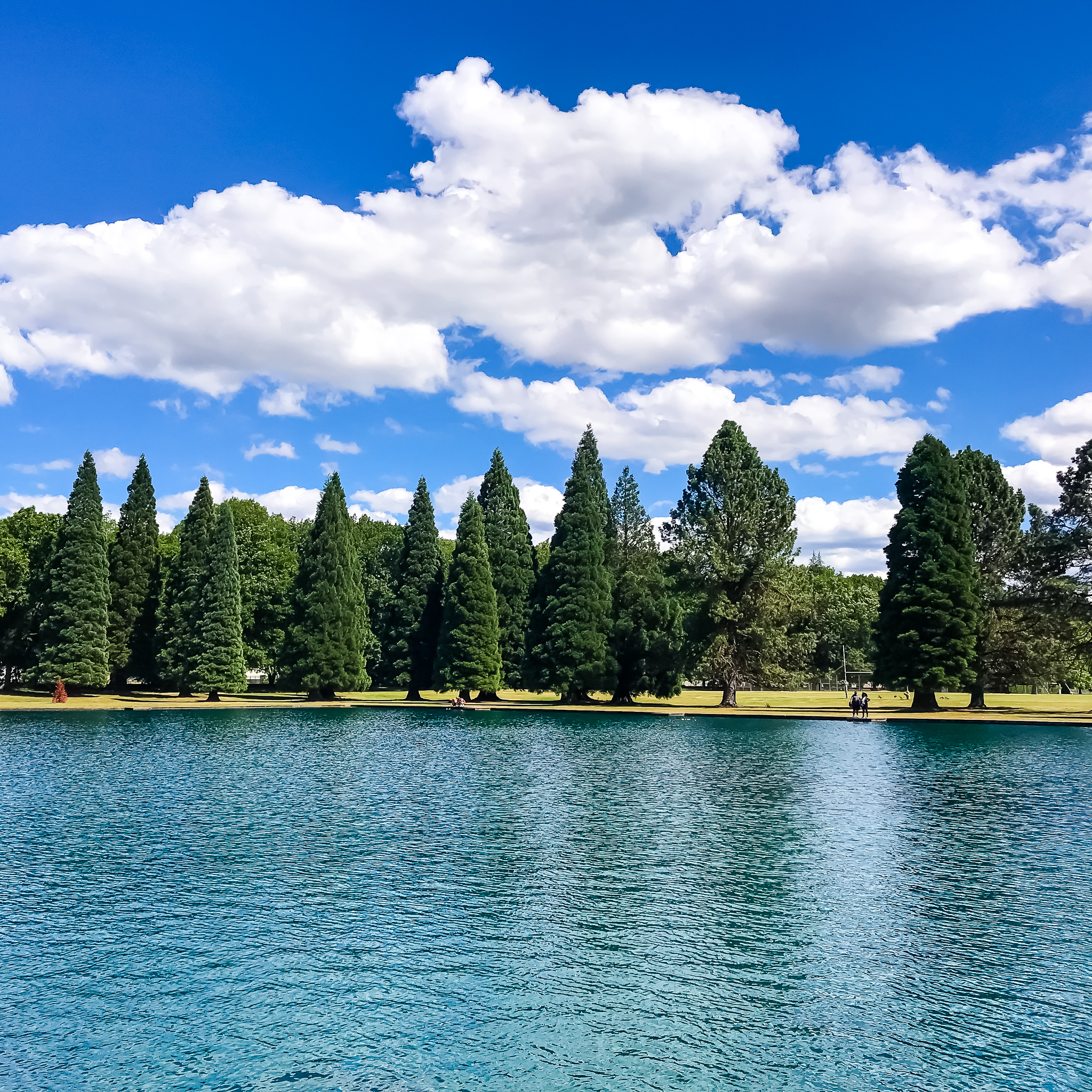
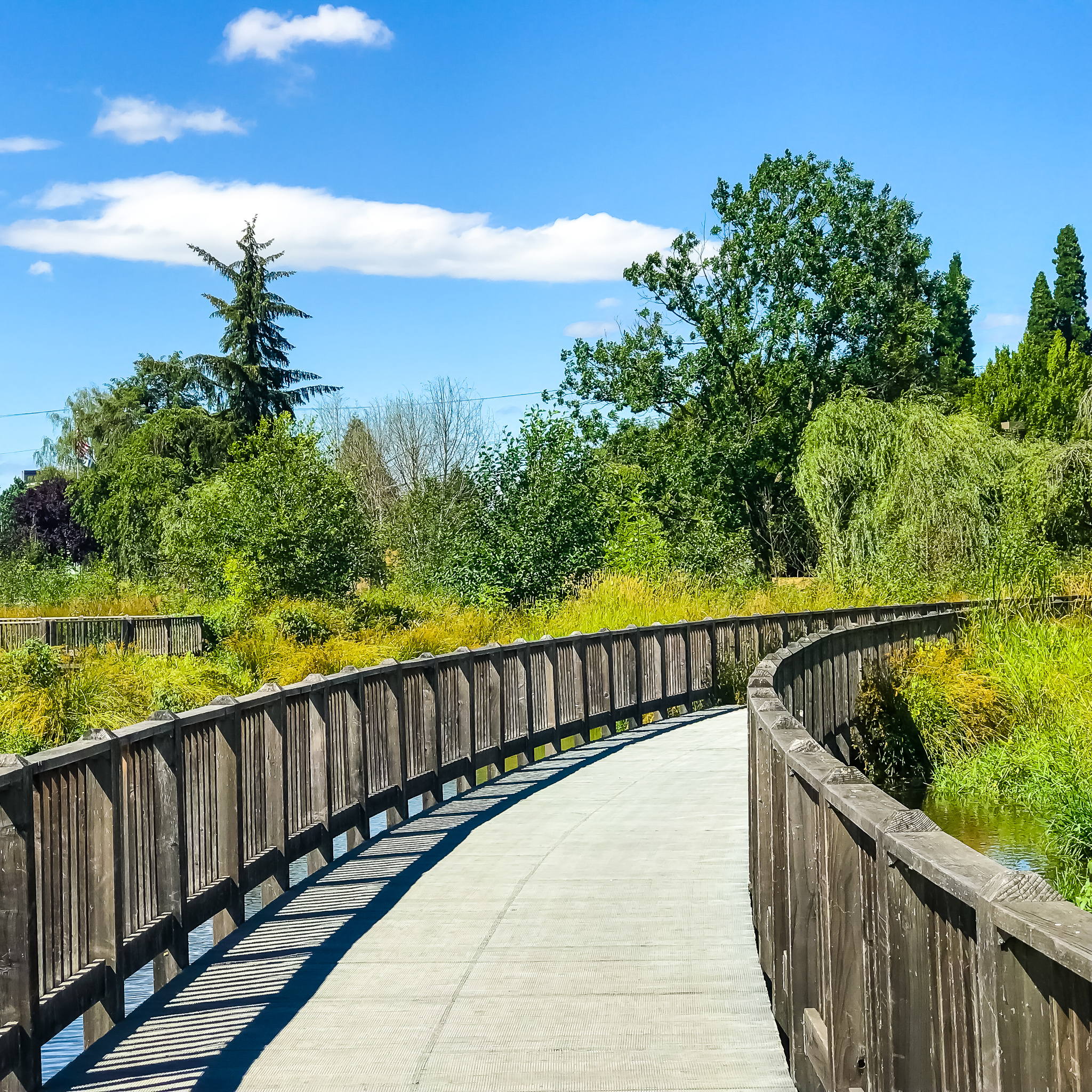
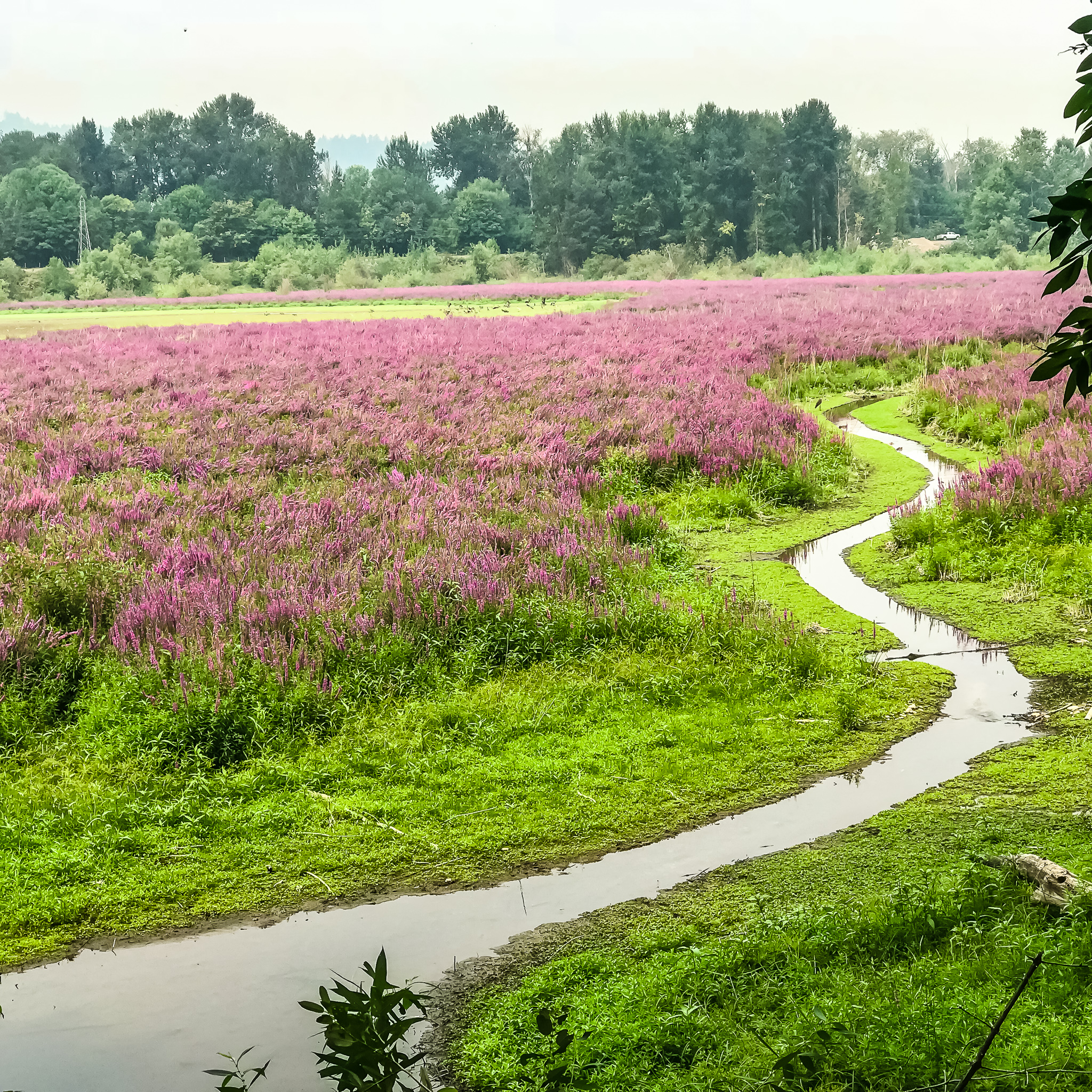
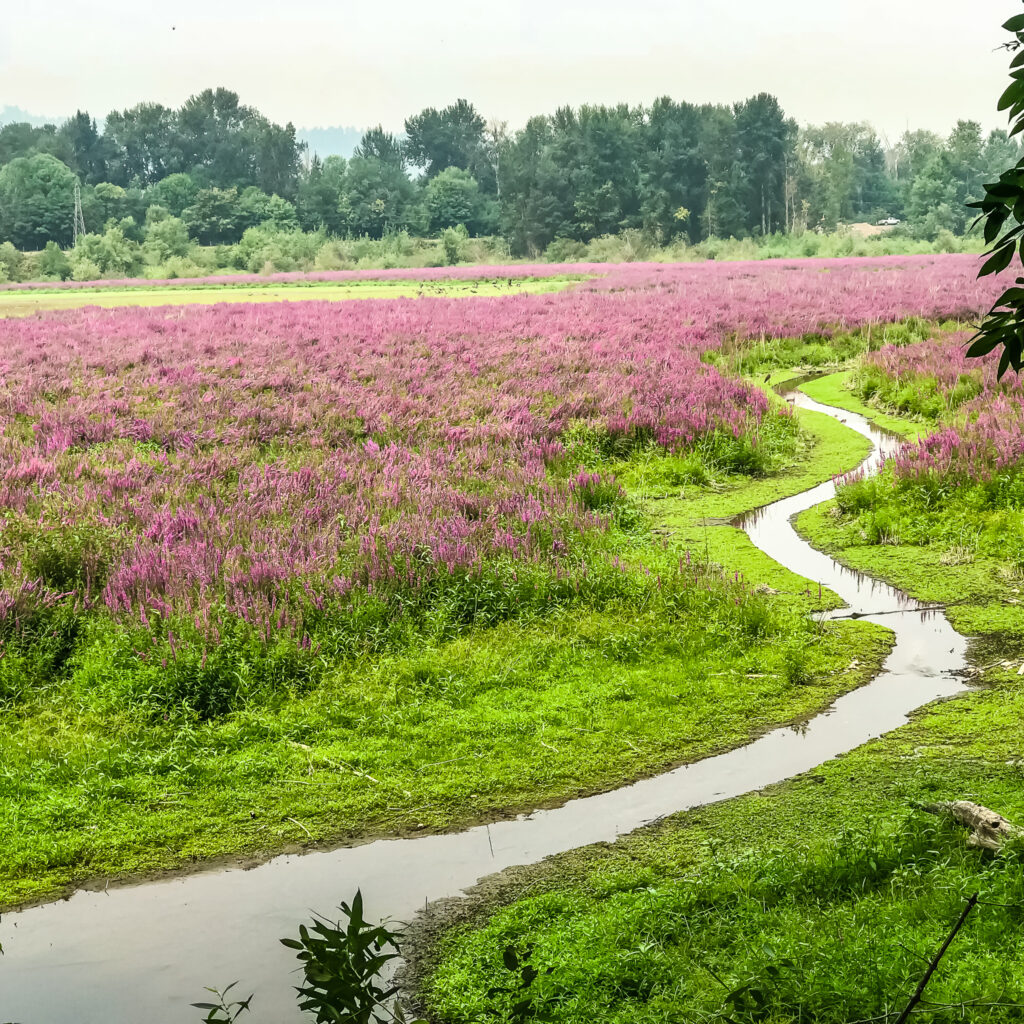
One of the things you’ll notice about this route is the optional trek into Westmoreland Park. Definitely allow time to wander this beautiful, well-designed, one-of-a-kind wetland. You’ll be inspired.
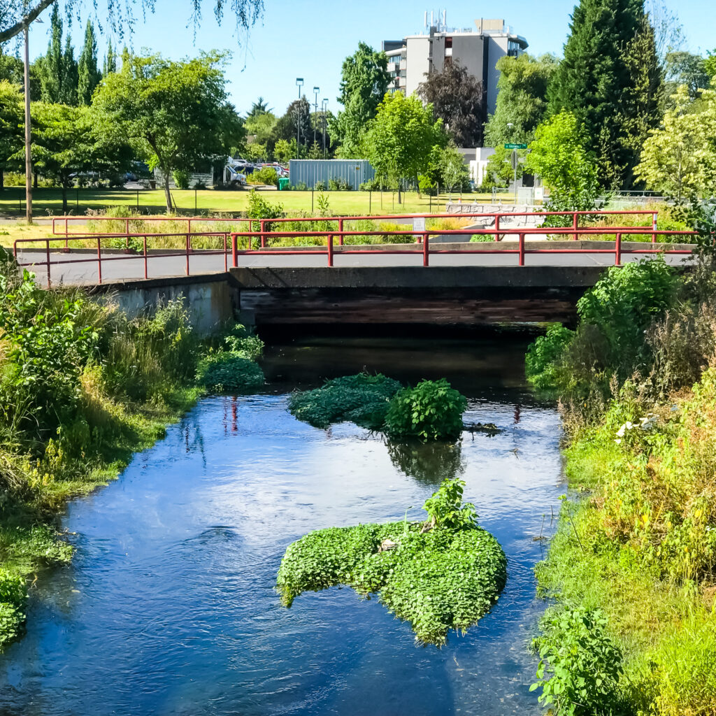
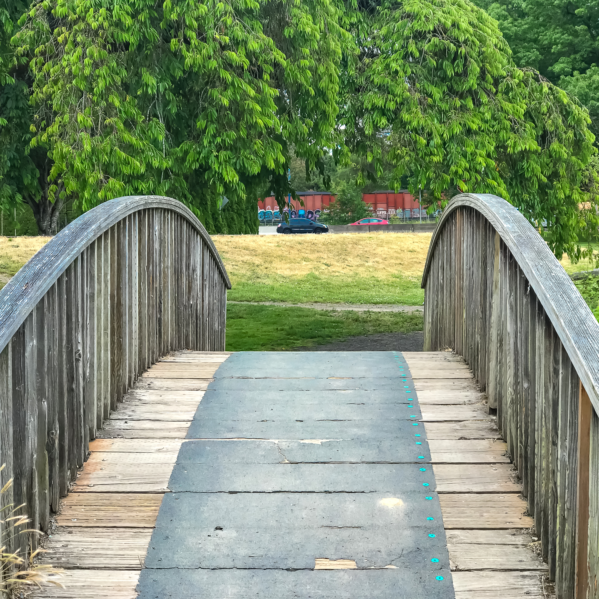
Located along McLoughlin Boulevard, the park straddles Crystal Springs Creek just downstream from Crystal Springs Rhododendron Garden. In spring you’ll be rewarded with newly hatched ducklings and baby otters in the creek. And there are several, primo viewing platforms (pedestrian bridges) along the waterway.
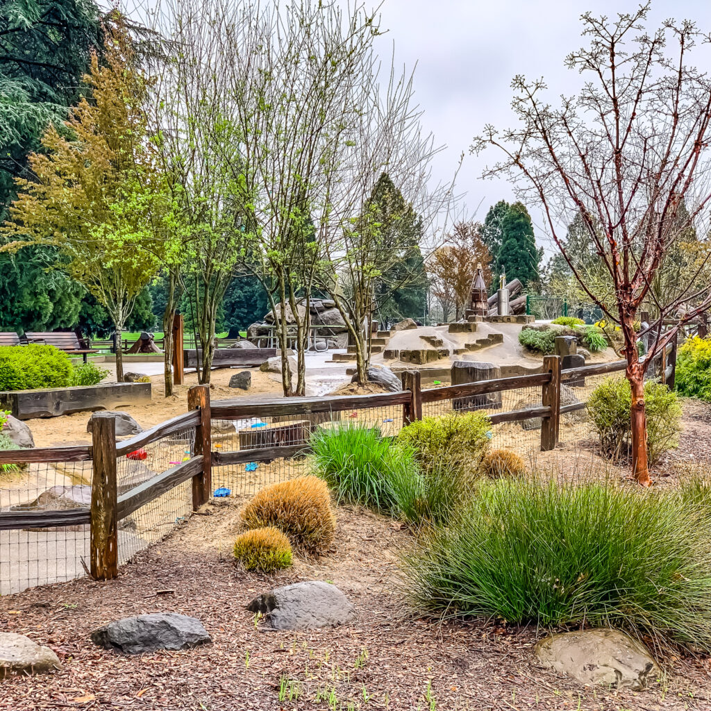
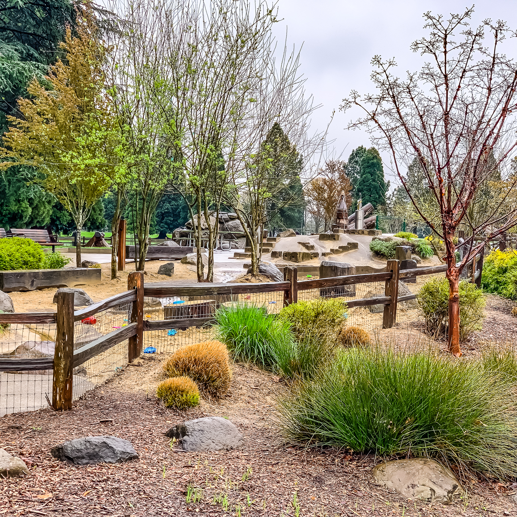
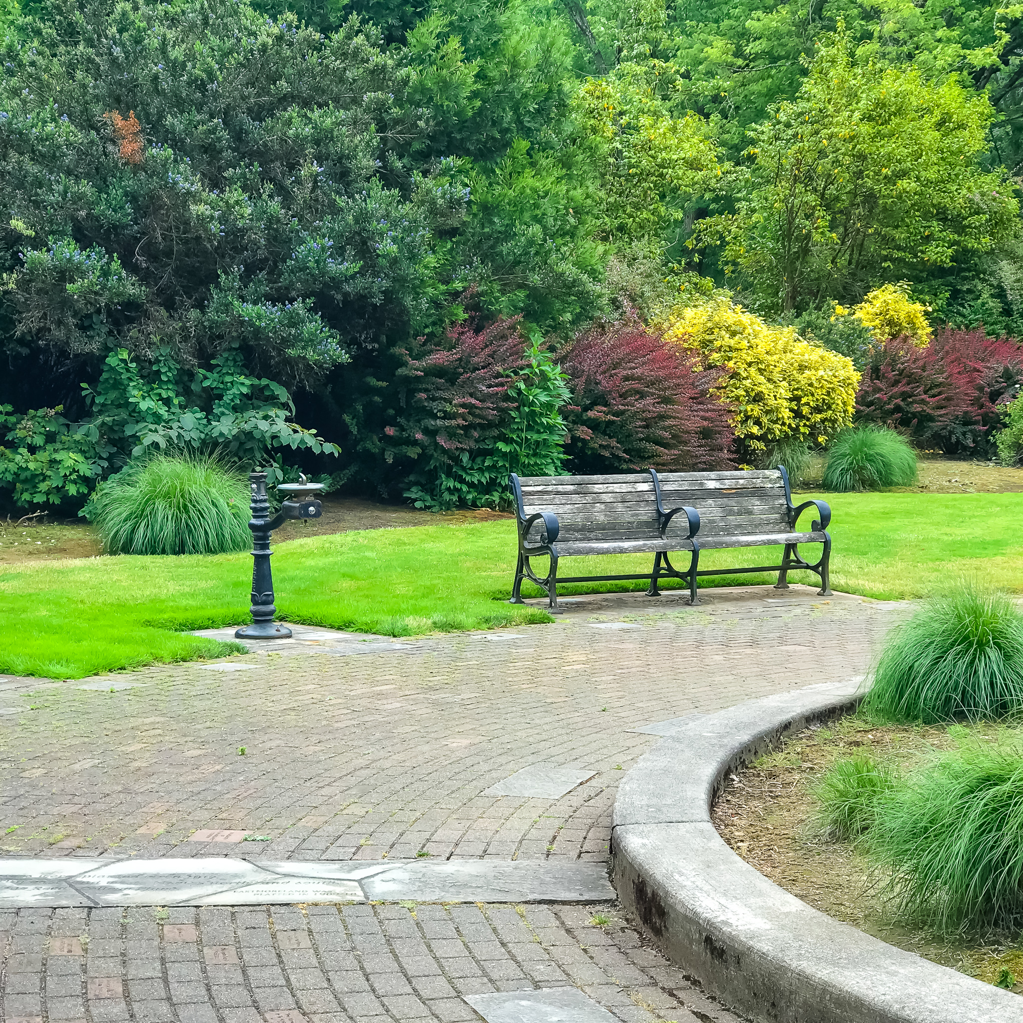
With kids in tow, you could spend an entire morning or afternoon exploring the 42 acres comprising Westmoreland Park. Kids love the nature-themed play area, casting pond, sports fields, and multiple pedestrian bridge crossings.
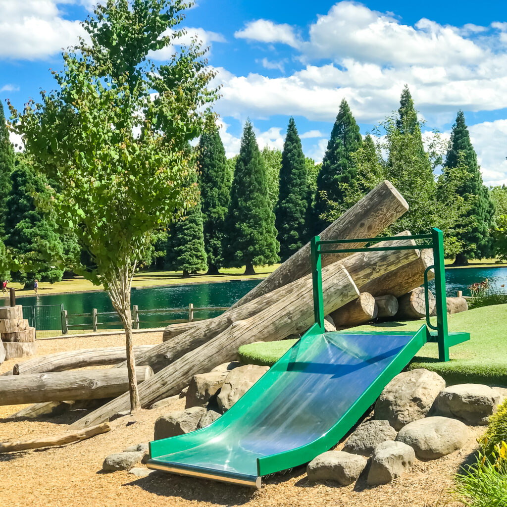
And yes, of course, a well maintained restroom complex is near the playfield.
For the history of this very special park, see Portland.gov Westmoreland Park.
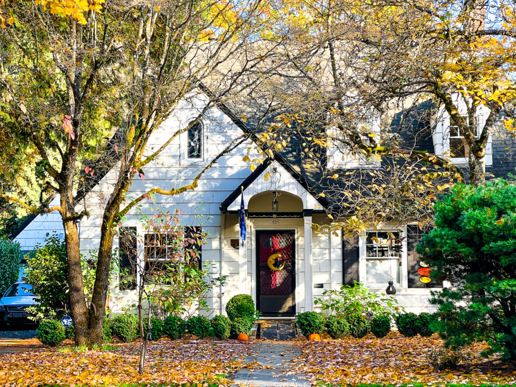
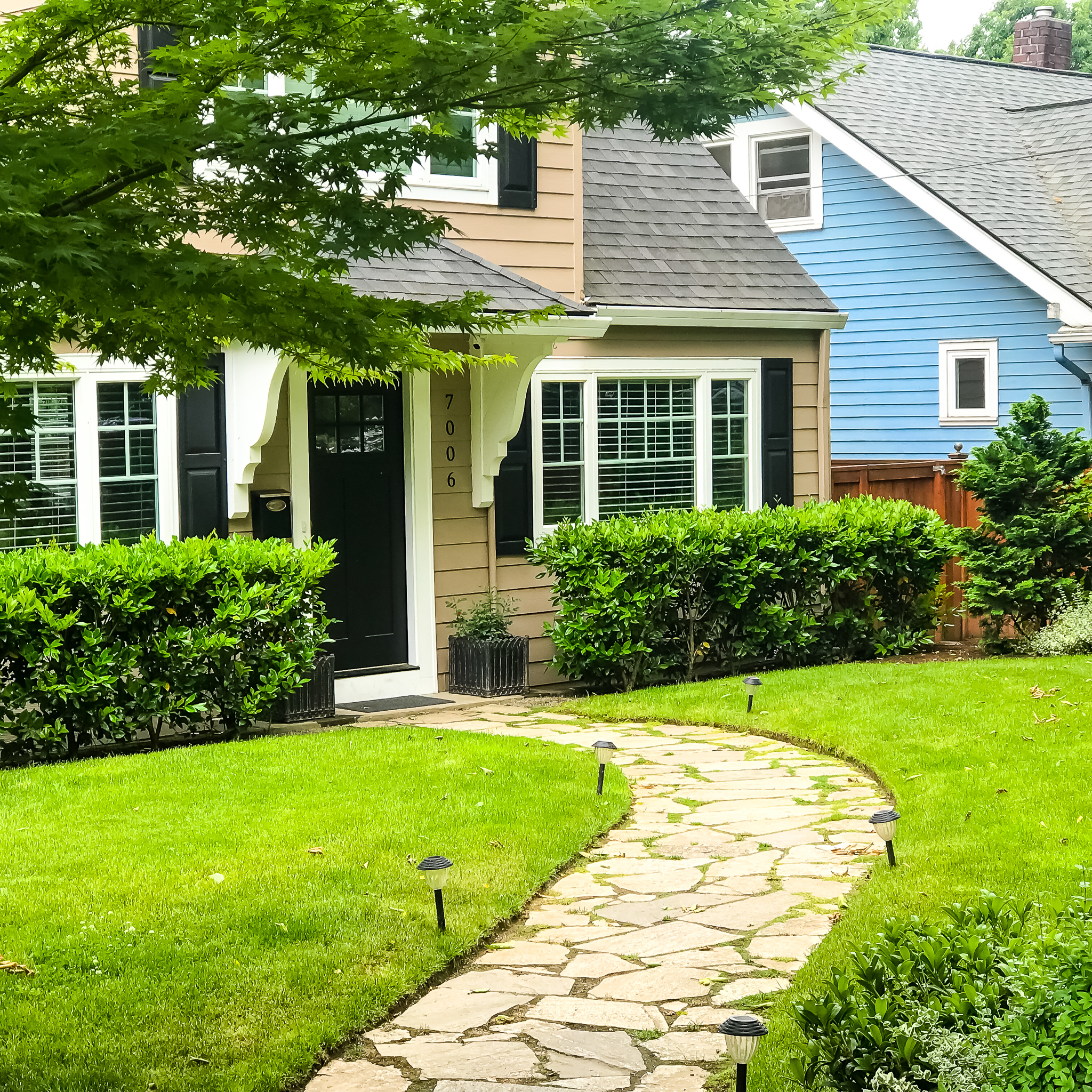
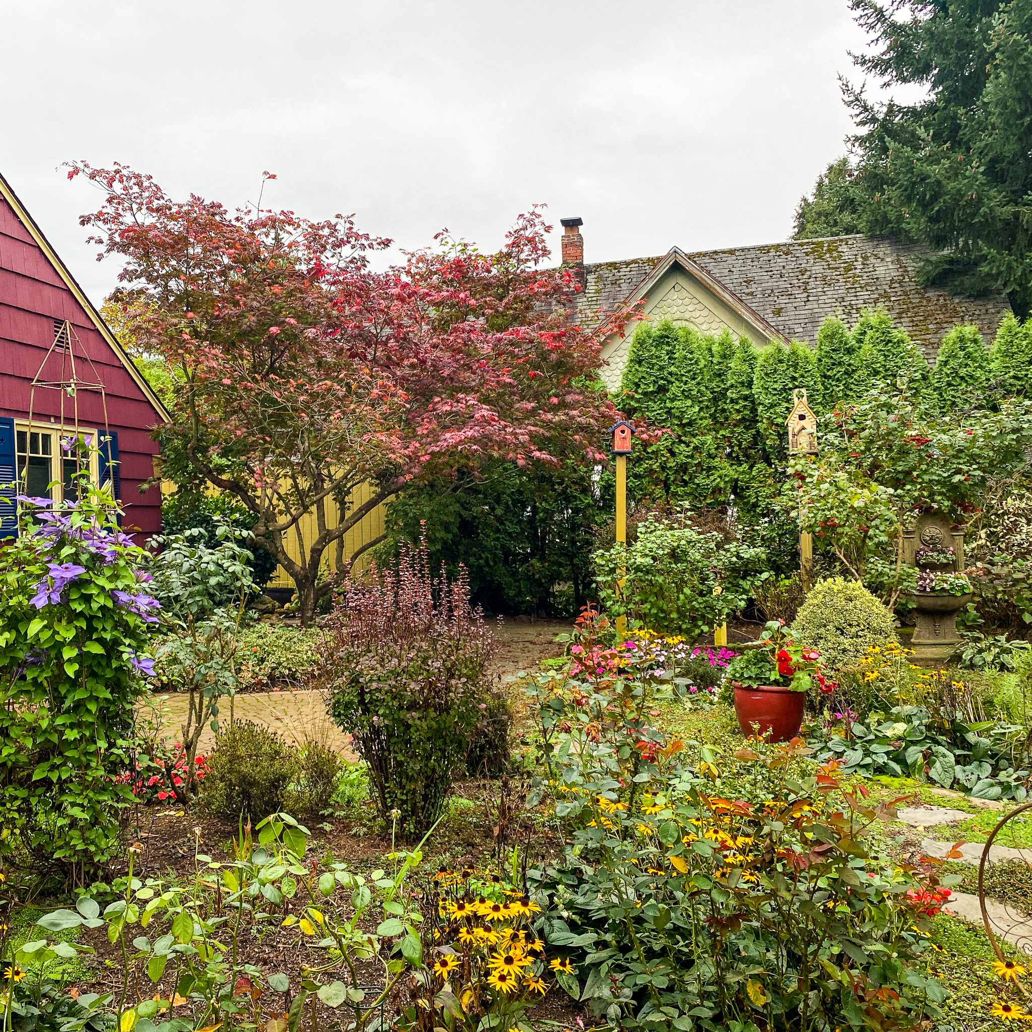
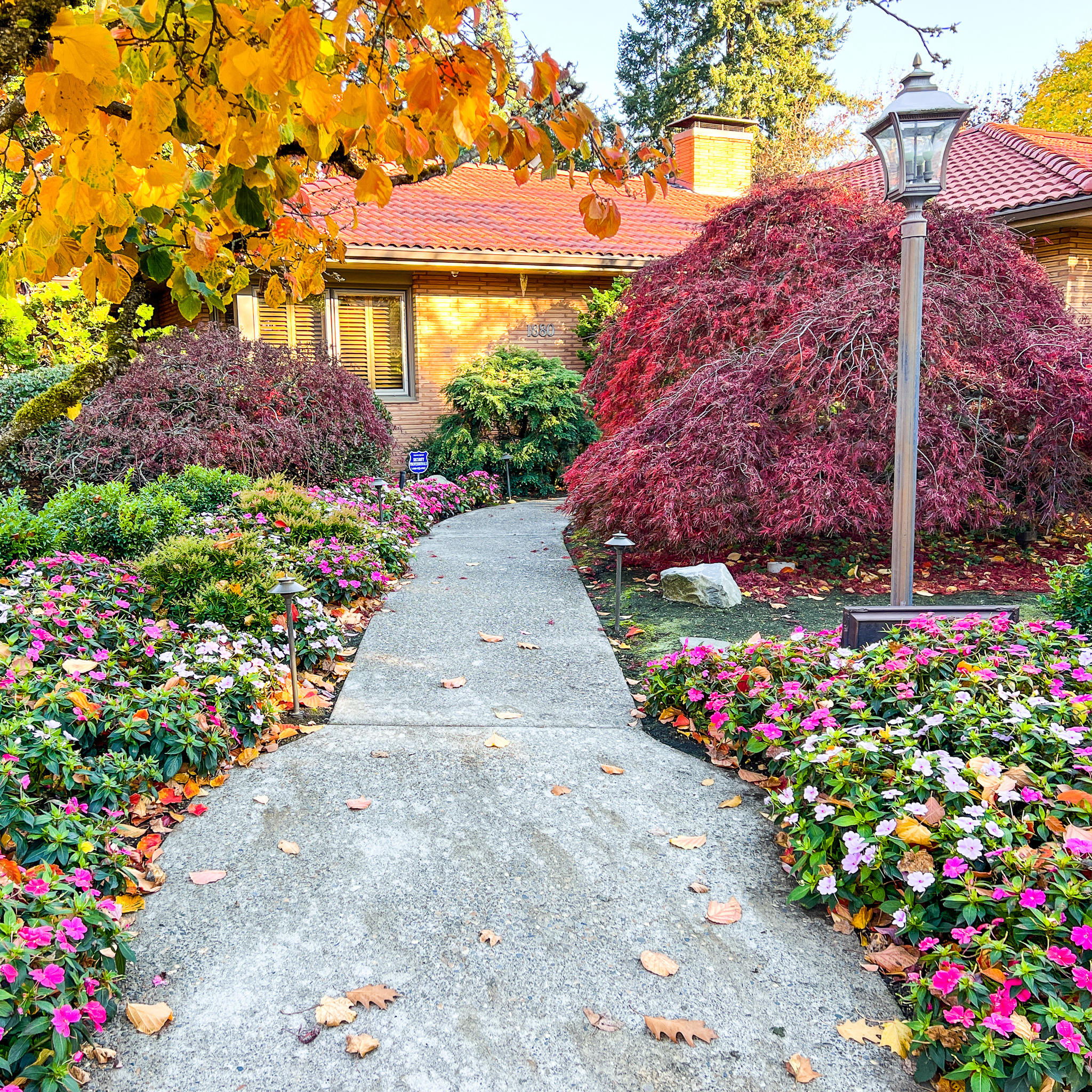
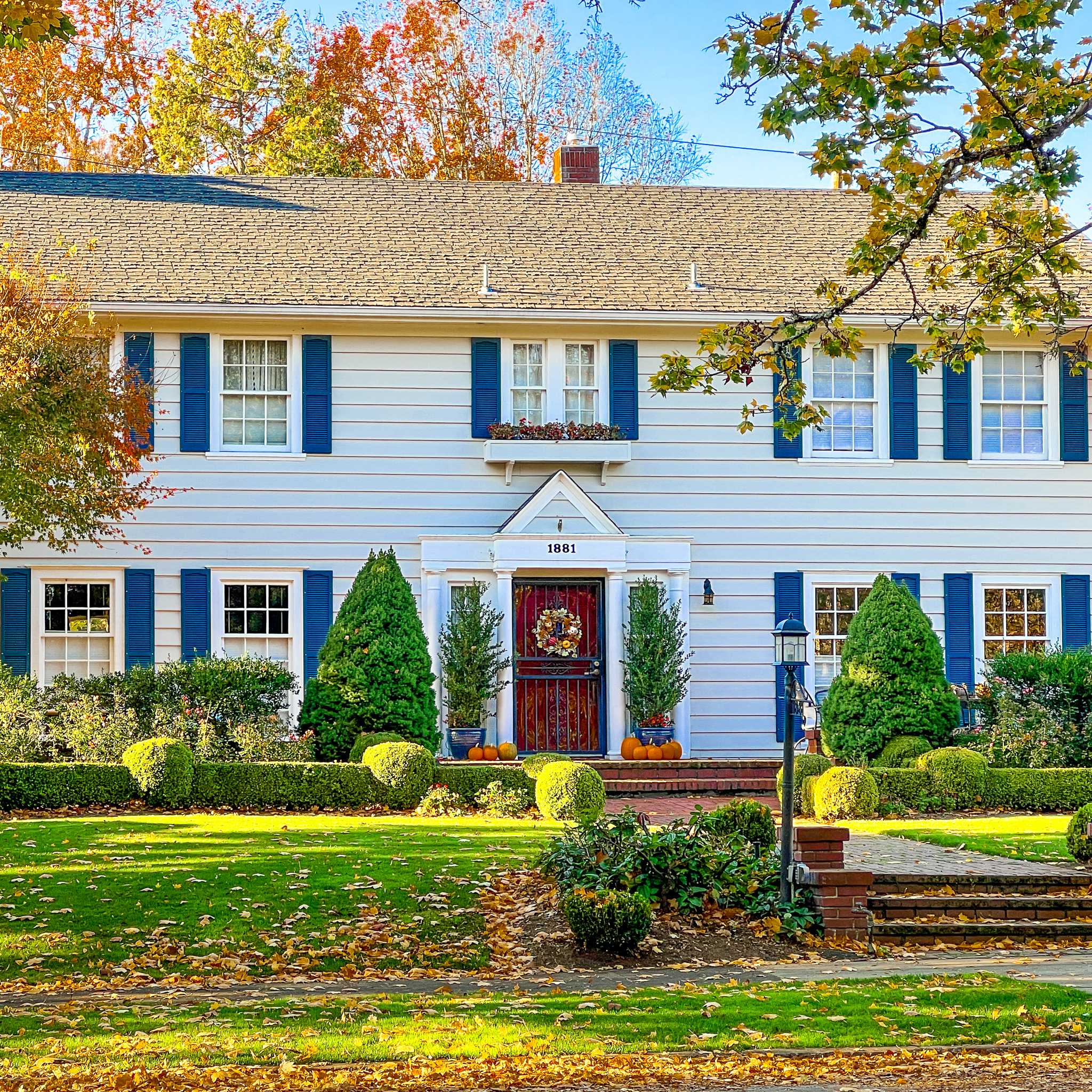
Homes in the Garthwick neighborhood run a gamut of architectural styles, but nearly all have historical significance and generously sized yards. You’ll definitely feel you’ve entered a special space when you turn off SE 17th Ave to join SE St Andrews Dr.
Go slow. Take in the serene vibe. And the scrumptious details.
Portland Metro Walkabouts
Monthly Group Walks
The SkyBlue Portland team hosts monthly group walks through some of Portland Metro’s most beautiful, uplifting, and interesting neighborhoods. For info on our Portland Metro walking tours, check our Facebook page, Women Who Walk and meetup (PDX Women Who Walk. And join us!
Walk Details
ROUTE MAP: https://www.google.com/maps/d/u/1/edit?mid=1TTP2UoOc-Jdtc8qsTwmHRAlUcLaEtJV2&usp=sharing
PARKING: Free street parking (near SE Harney St & SE 13th Ave).
DISTANCE: About 5 miles with the Westmoreland Nature Park option.
TIME: 2-3+ hours.
TERRAIN: Mostly flat, easy city sidewalks.
DIFFICULTY: Easy.
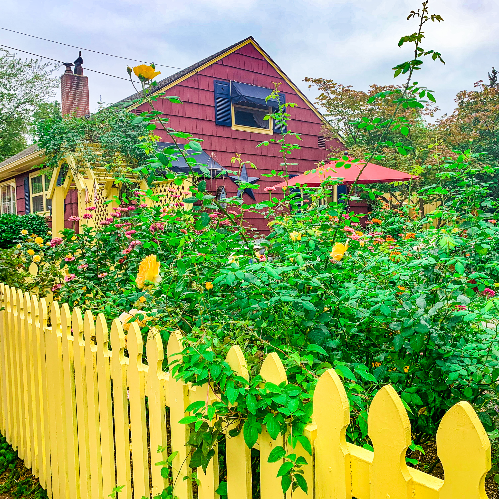
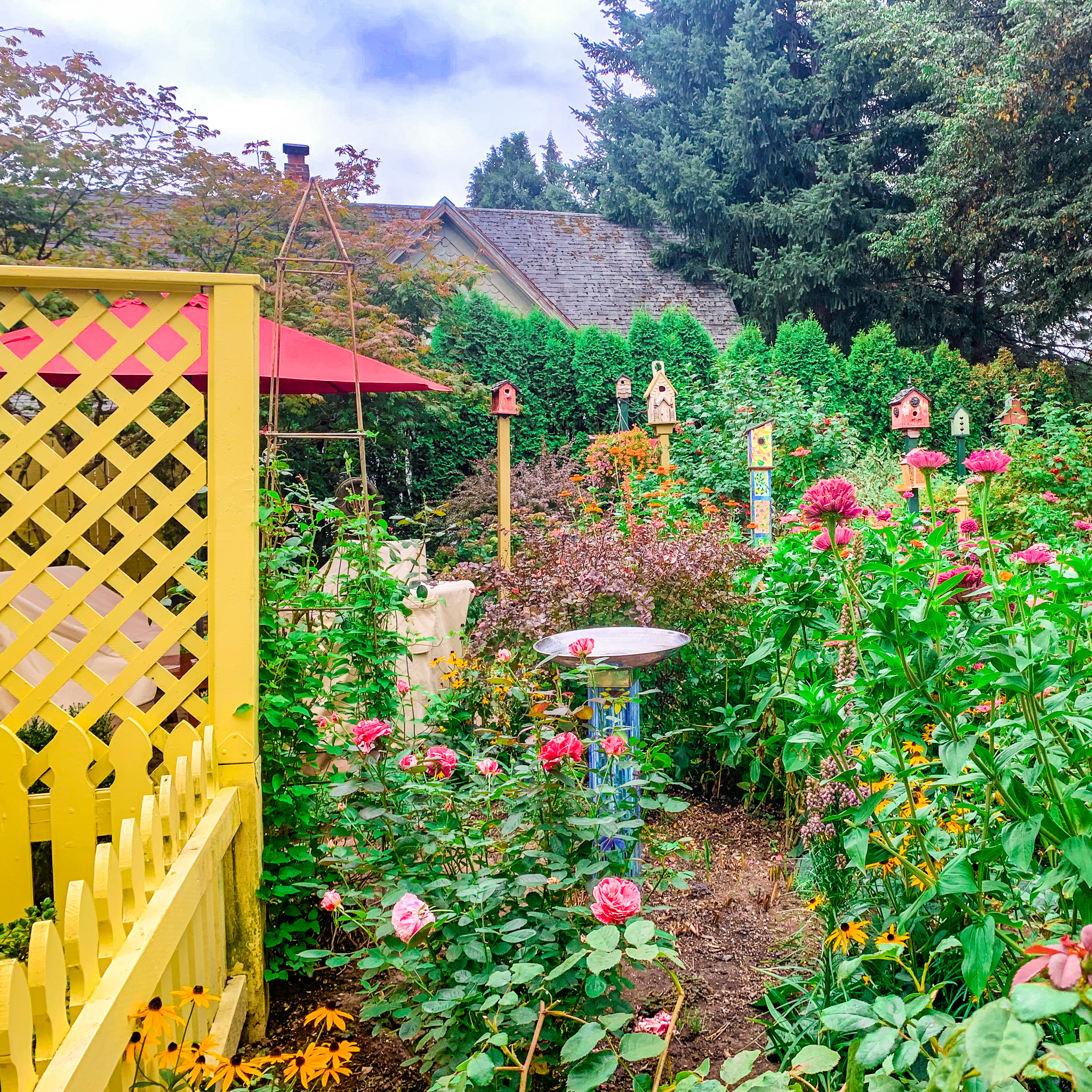
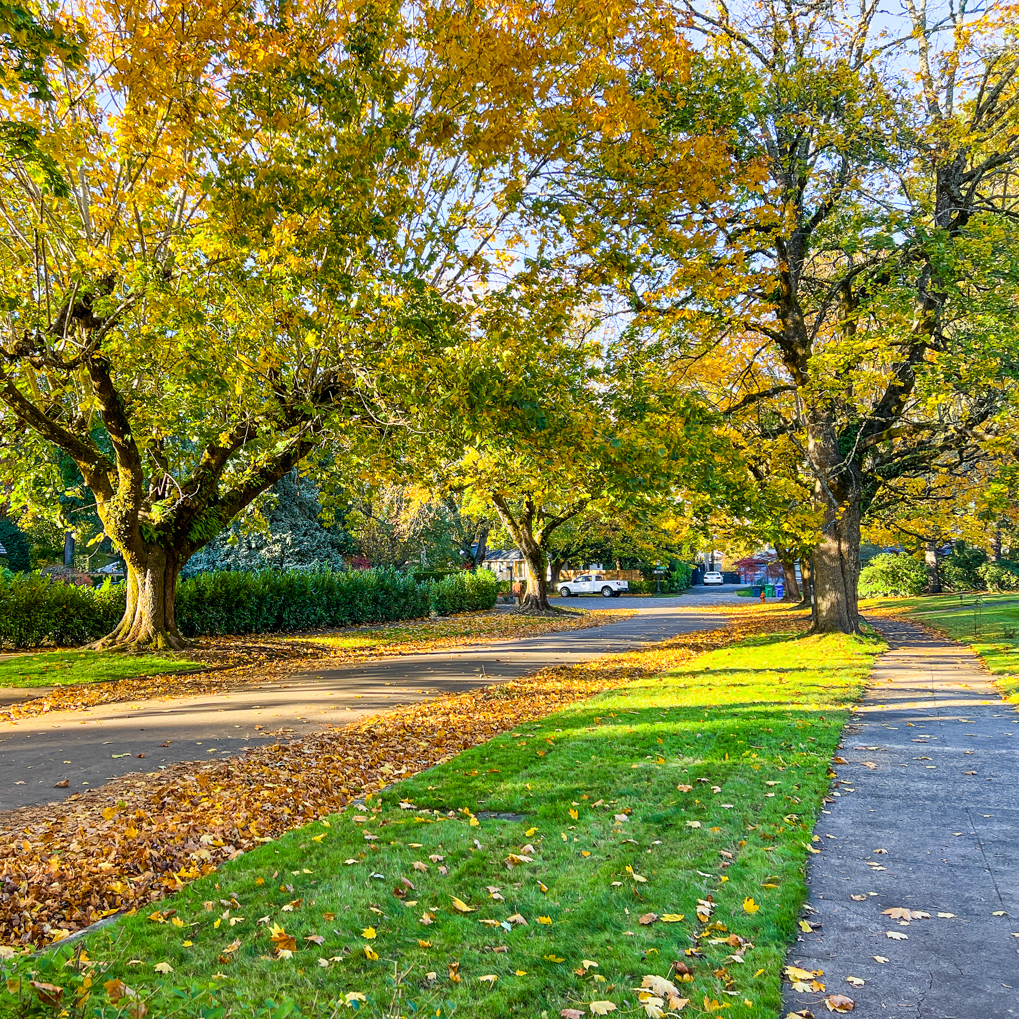
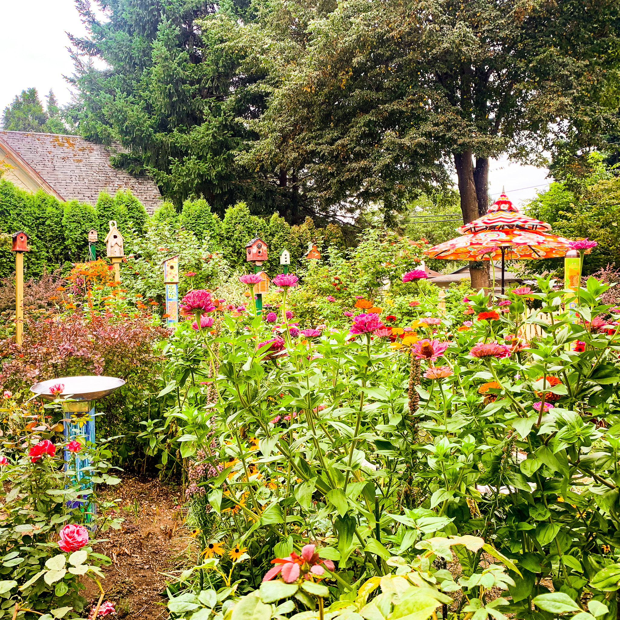
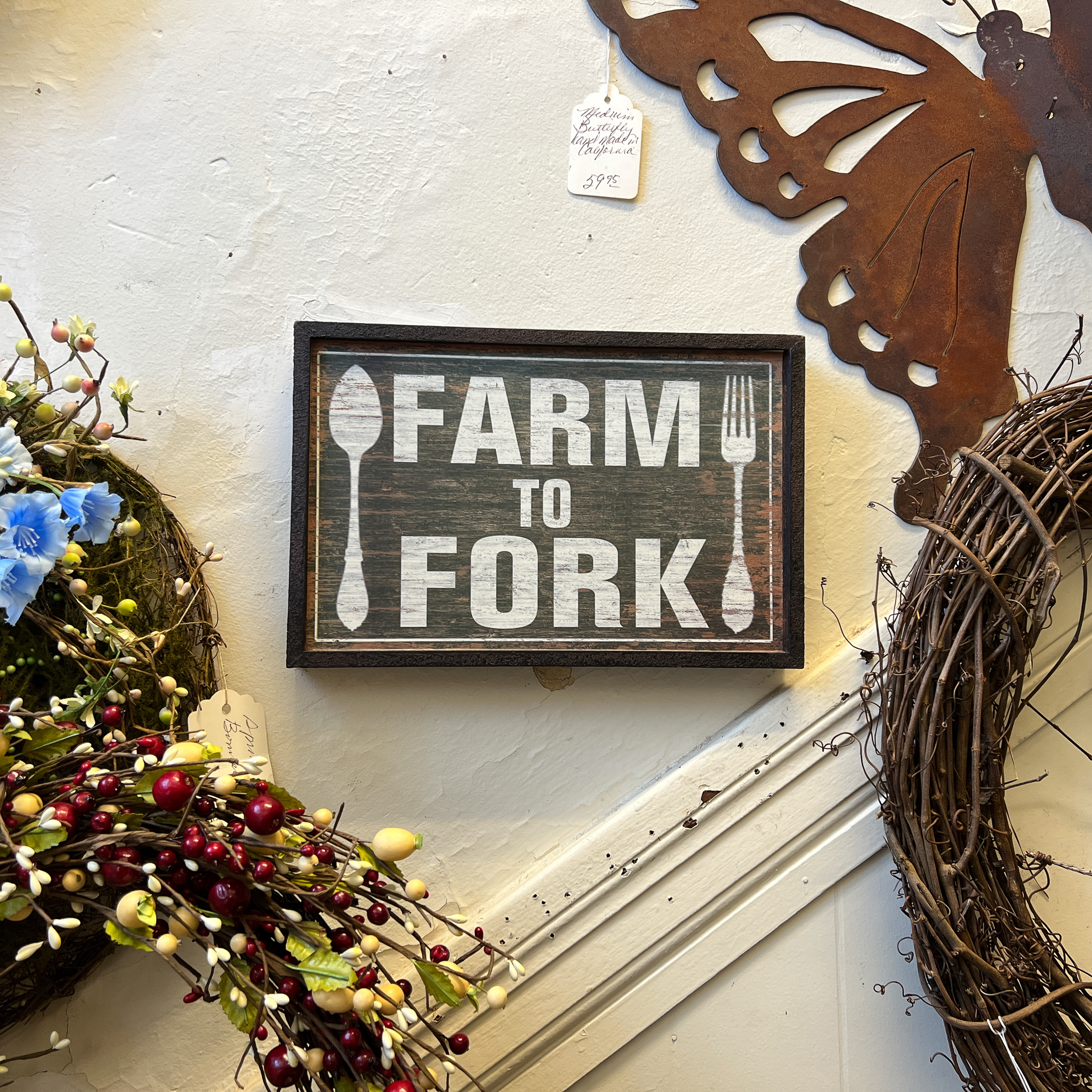
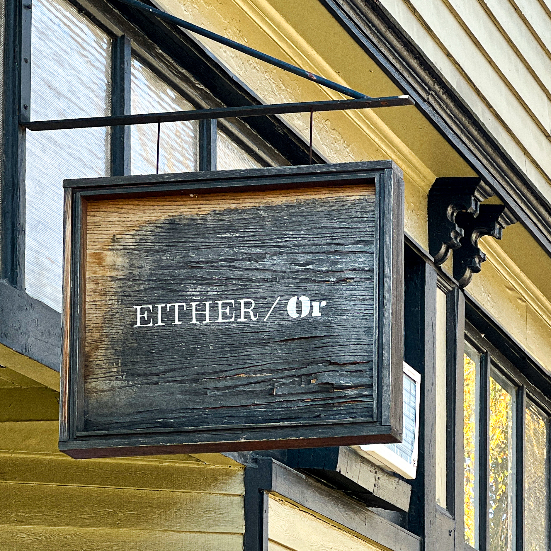
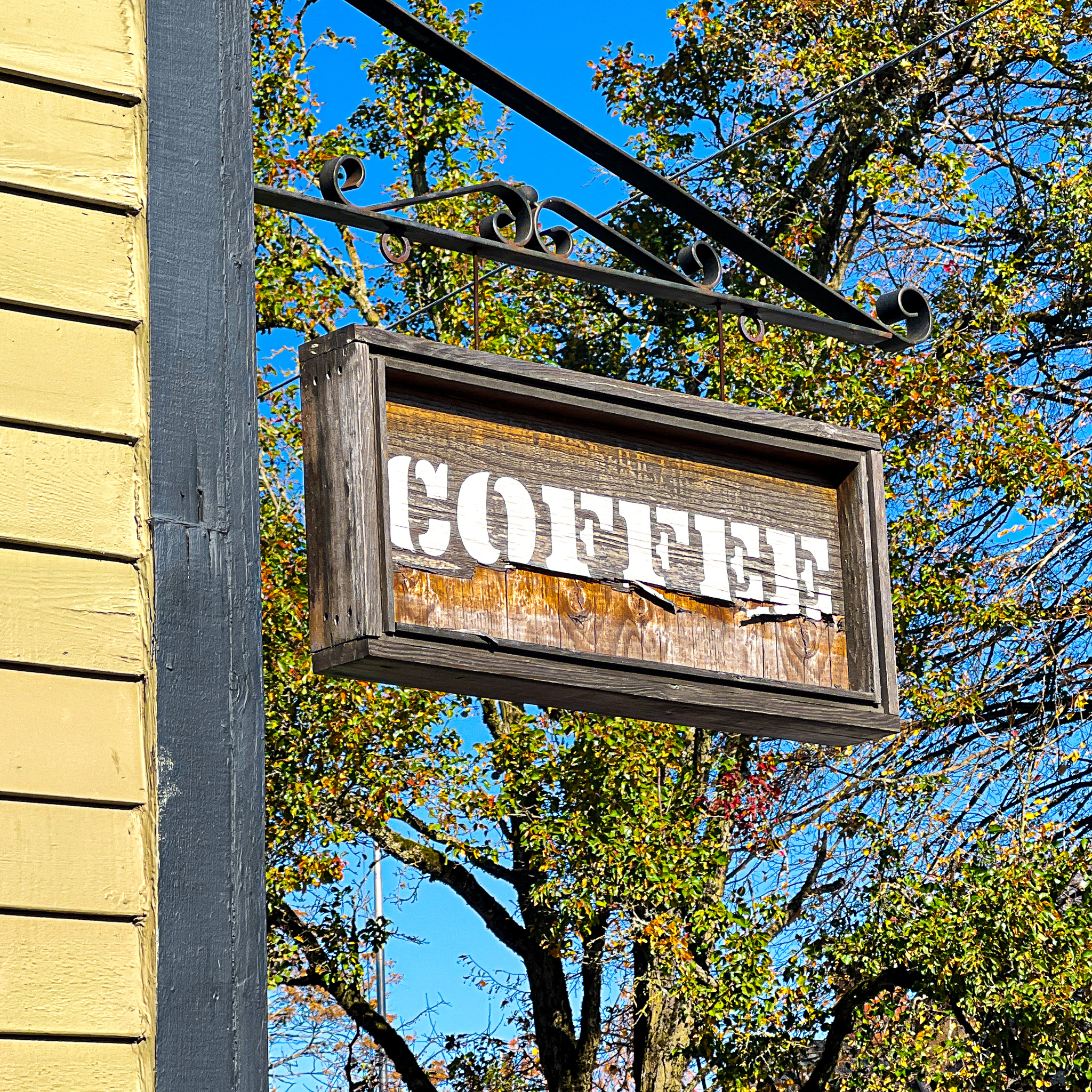
Photo Gallery
Click any photo below to view a selection from the photo gallery.