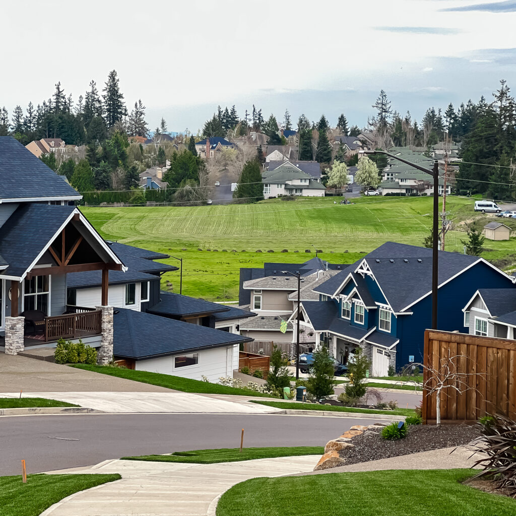
As part of our Walking West Linn series, we offer you this diverse, 2.5-mile, moderately challenging West Linn loop walk that begins and ends on the northern border of the Parker Crest neighborhood–Rosemont Road near Oppenlander Field.

It’s a short, every day kind of walk that we take often. If you walk a 20 minute mile (fast), you’ll be back to the start point in under an hour.

We’re not recommending speed however because there’s plenty of eye candy along this route to keep you visually engaged. And there are several inclines and declines (rolling hills!) along the way so caution is advised. Pack a camera (an iPhone in this lanyard works great for walking). Go at your own pace. Settle in. Enjoy.
Because our first version of this route is literally in our backyard, and thus risks becoming blasé with over use, we recently decided to REVERSE it. And that’s how THIS walk was born. What a game changer! (Try reversing one of your fave walks.)
NOTE: On map below, the Parking icon represents the start point, the green line represents the route out and the red line represents the route back. As with every walk route we reverse, we barely recognize the new route. Completely different experience. Two-for-one deal.
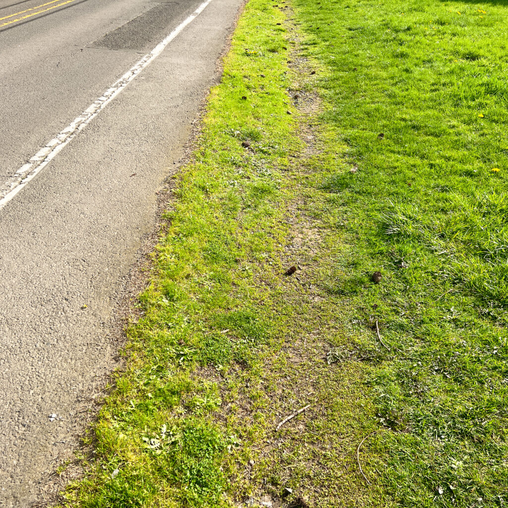
To launch, follow Rosemont Road east 1/3-mile to Summit Street and turn south. Much of Rosemont is lined with sidewalks but they switch from side to side and abruptly end, break, or drop off in places, so the wide grassy shoulder on the north side of the road fills the gap.
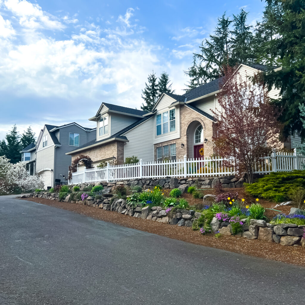
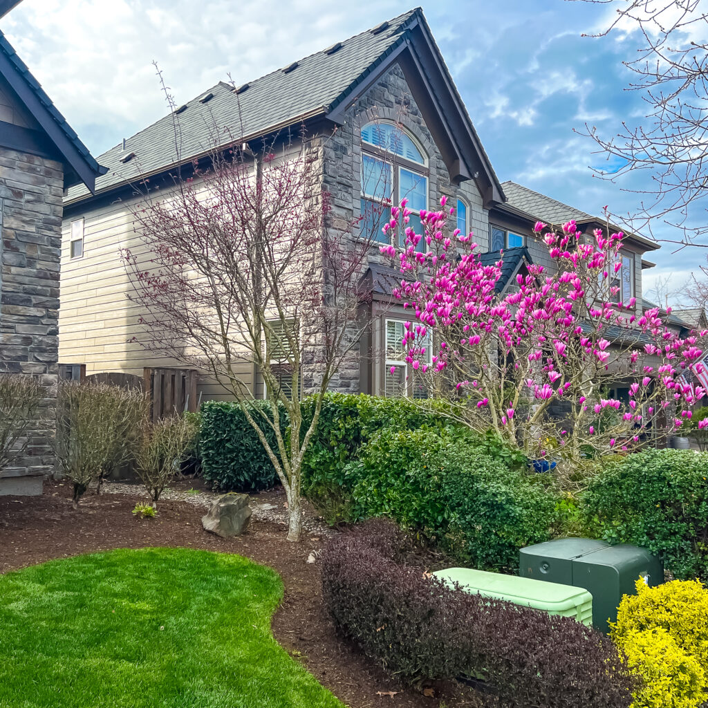
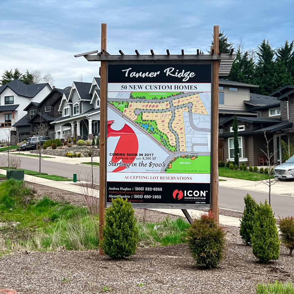
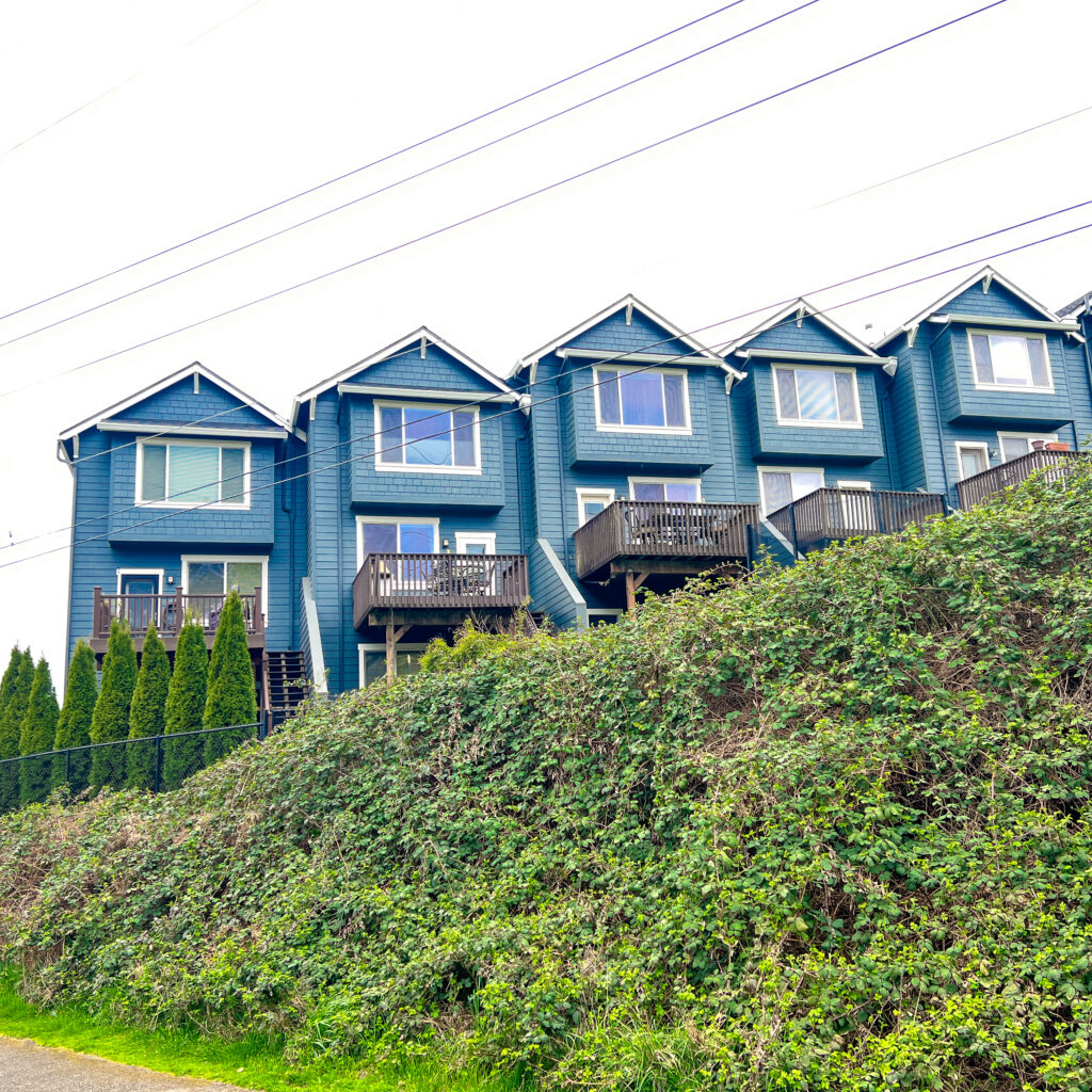
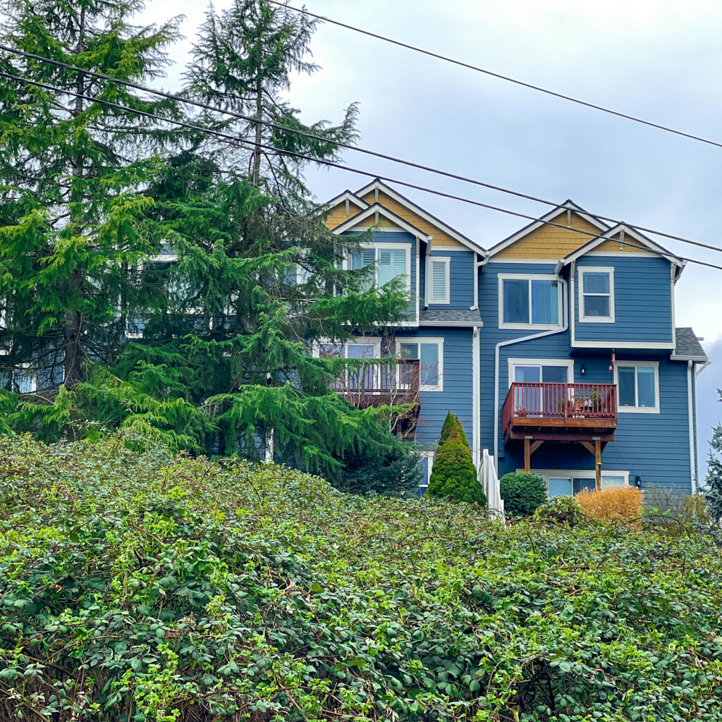
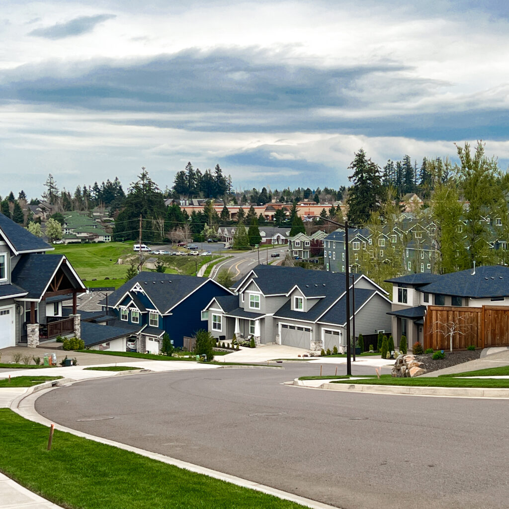
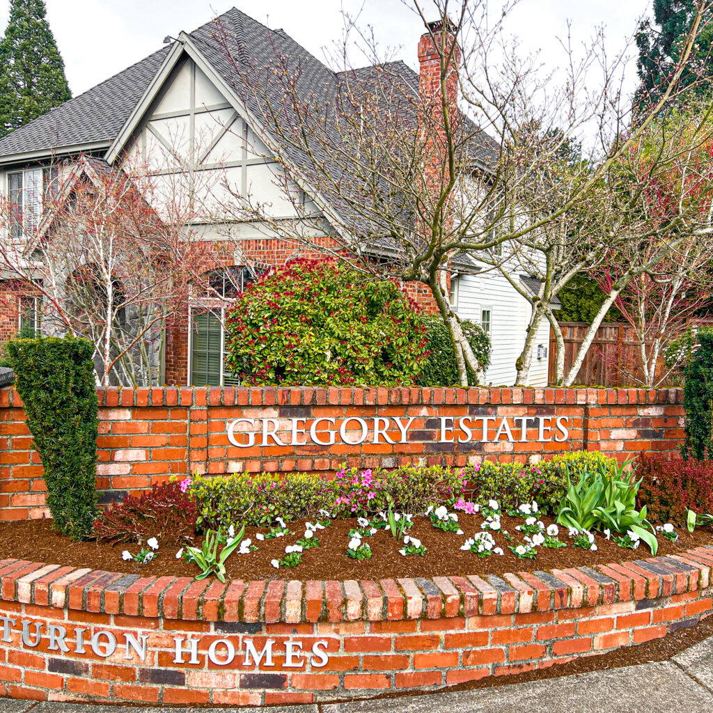
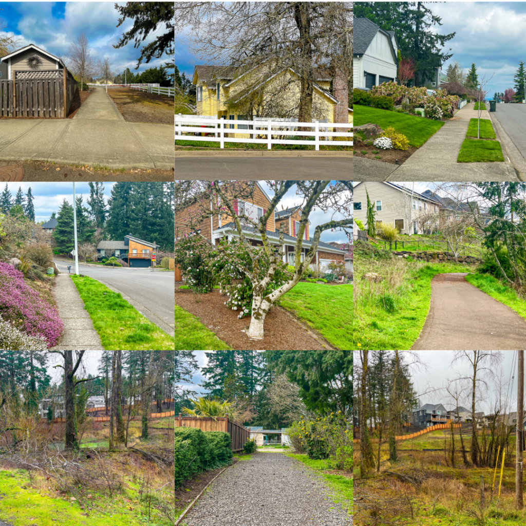
At the Summit Street turn, you officially enter West Linn’s Parker Crest neighborhood, with its mix of older homes, new developments (Tanner Ridge), and several upscale townhome communities. Many of the older homes in the neighborhood are either on large lots or acreage. Newer homes are mostly on smaller lots. In either case, homes with spectacular views are abundant in Parker Crest.
At Summit Street and Ridge Lane you’ll begin the winding, ocassionally steep, descent to Tanner Creek. Imagine walking UP this 1/2 mile stretch. But is walking DOWN really easier?
The way we think about it is that every hill we add to a walk increases the calorie burn for the day. And since we LOVE Salt & Straw ice cream, it matters. Hills also give the legs a good workout. Walking inclines builds muscle in the calves, quads, hamstrings, and glutes. It also strengthens the hip flexors and Achilles’ tendons.

But as we’ve learned over years of walking all styles of streets and trails, we can walk almost any incline/decline– if we take it SLOW. Plus there’s no shame is taking a break when needed. In fact, it’s the height of wisdom.
And as we’ve also learned over years of daily walking, be especially cautious on steep declines with uneven, broken, wet, soggy, or loose ground under your feet. And if you’re feeling uncertain (especially in winter and spring), consider packing some version of this Walker’s Best Friend. We LOVE ours.
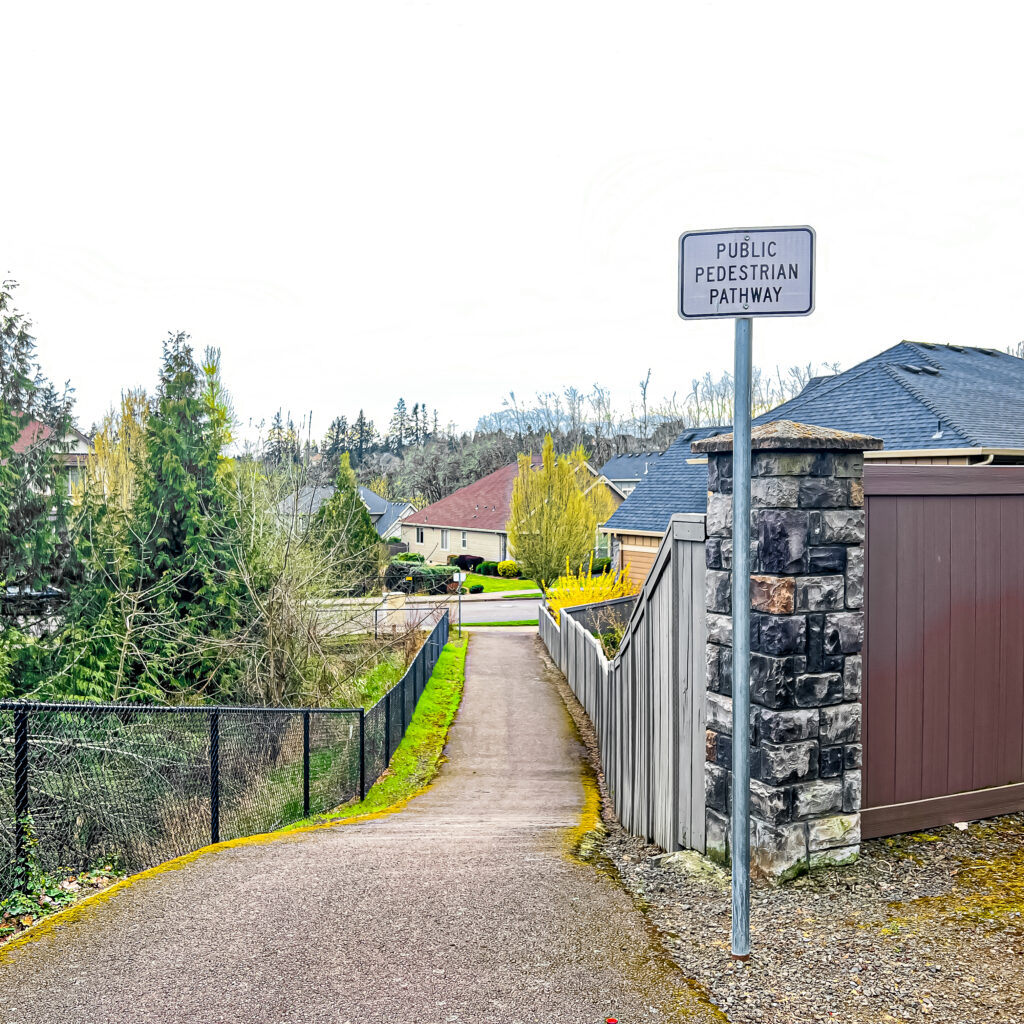
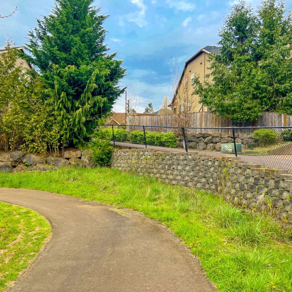
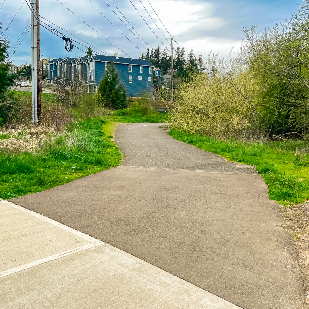
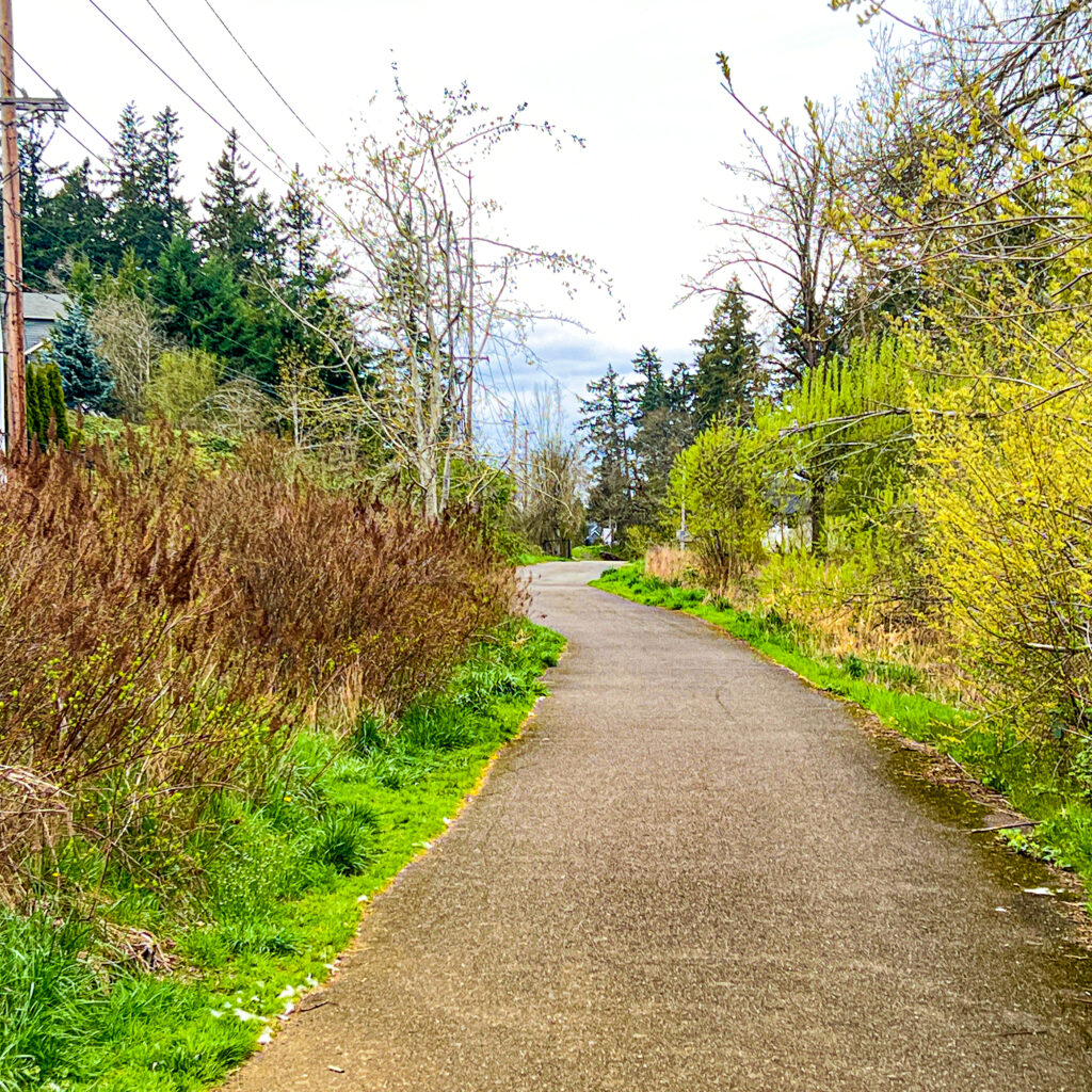
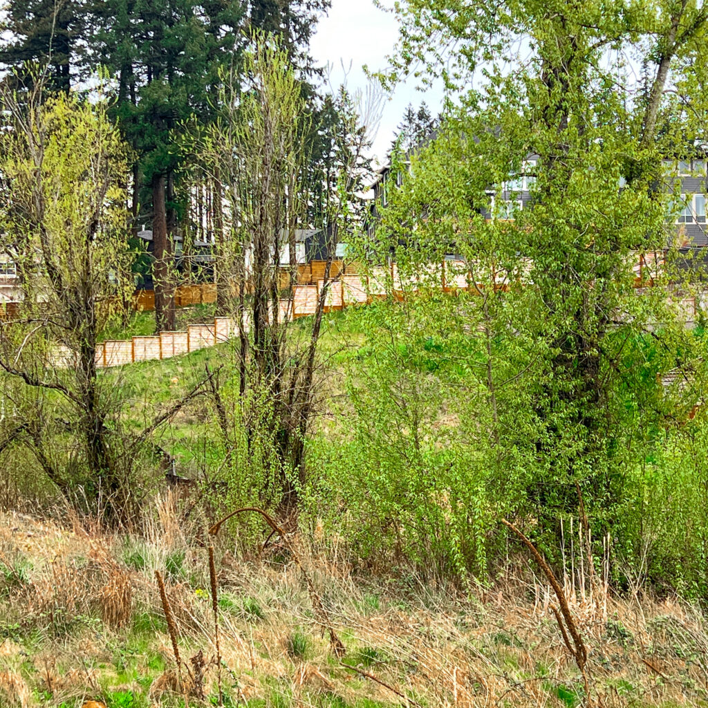
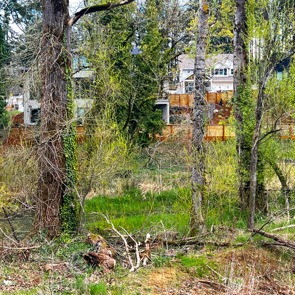
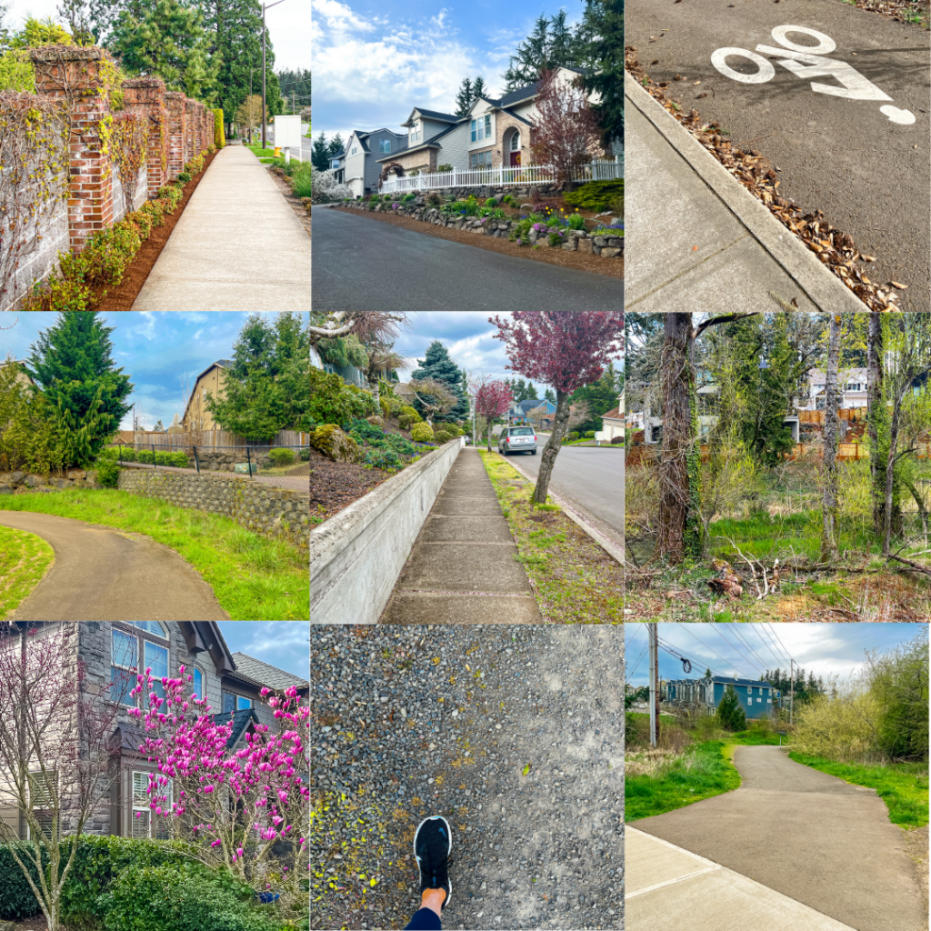
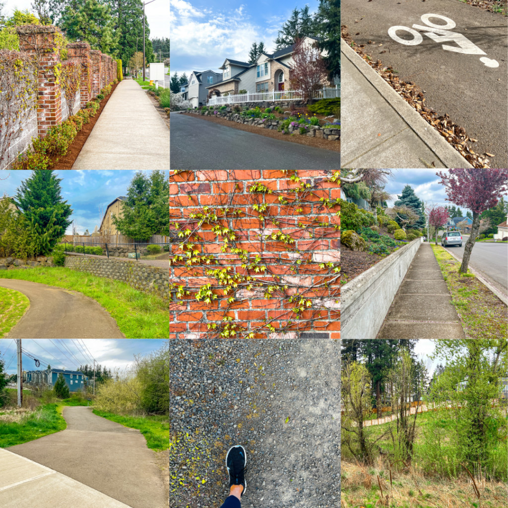
Here are examples of the types of terrain and ground you’ll encounter on this walk.
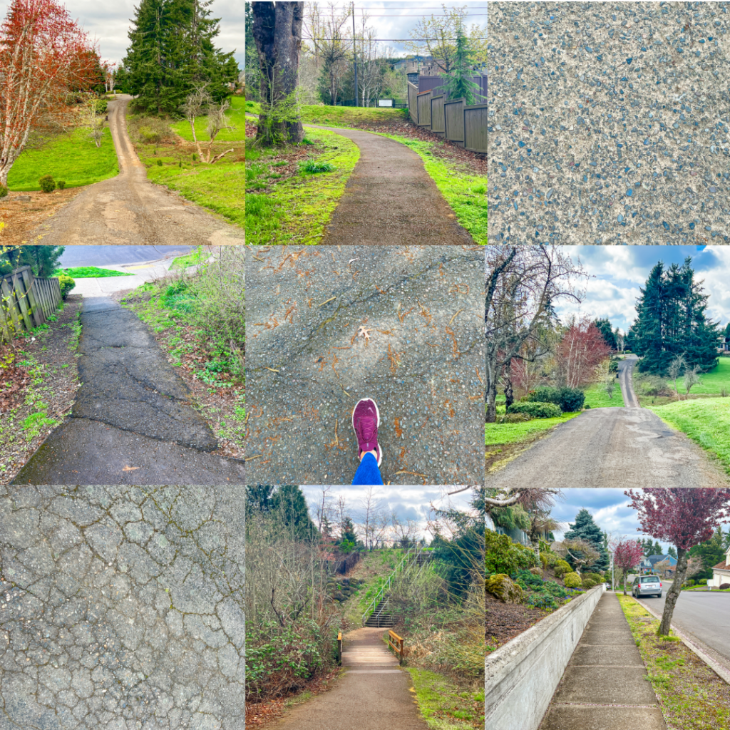
Every experienced walker knows that it’s the ground under your feet that gets you in more trouble than virtually anything else you can encounter on a walk. Walking photographers are especially prone to this misstep. Keep your eyes on THE GROUND.

Walking West Linn: Parker Crest Jaunt Route Map (Online, Interactive)
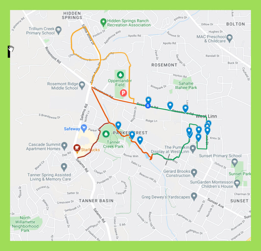
Our route maps are designed so you can both follow and keep track of where you are on the route from your iPhone when walking. While at your computer, save the route map to your bookmarks bar and then open that link from your iPhone.
The route out is shown in green while the route back is shown in red. Additional colors indicate additional walk options.
While walking, open the Legend field on the map to get turn-by-turn directions. If Google Maps is tracking properly (occasionally it glitches) you’ll see a small blue ball that represents you on the map. So helpful for keeping track of where you are on the route.
The route back is interesting too, with a look-see at the Hoodview Townhouse Complex and then a paved trail trek along Tanner Creek. For more distance, add the optional 1-mile extension through Rosemont.
Parker Crest Jaunt Details
ROUTE MAP: Click here
PARKING: Free parking at Oppenlander Field. (1275 Rosemont Rd, West Linn)
RESTROOMS: Tanner Creek Park.
COFFEE/TEA/LUNCH: Bring it.
DISTANCE: 2+ miles.
TIME: 1-2 hours.
TERRAIN: A mix of city sidewalks and varied terrain trails with Rolling Hills.
DIFFICULTY: Moderately challenging due to terrain, with numerous potential rest stops. Definitely a workout. With bragging rights. Take it at your own pace. Bring lunch and water. Plus a camera.
Monthly Group Walks
SkyBlue Portland Real Estate Group hosts monthly group walks through some of Portland Metro’s most beautiful, uplifting, and interesting neighborhoods.
For info on our Portland Metro walking tours, check out our Facebook page, Women Who Walk and corresponding Meetups (PDX Women Who Walk and West Linn Women Who Walk). And join us!
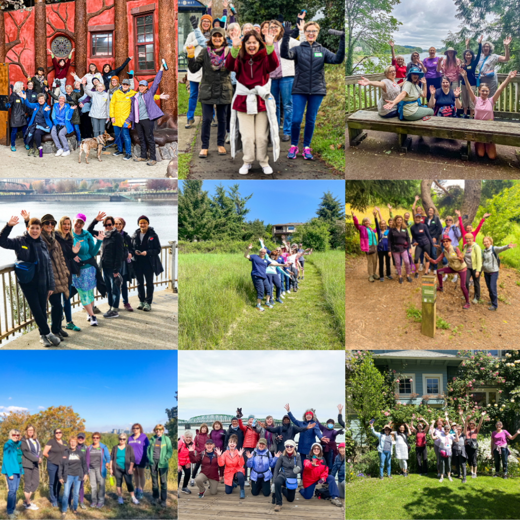
Photo Gallery