As part of our Walking West Linn series, this moderately challenging (rolling hills, varied walk surfaces), 3.5-mile LOOP walk traverses two stunning West Linn neighborhoods–Parker Crest & Rosemont.
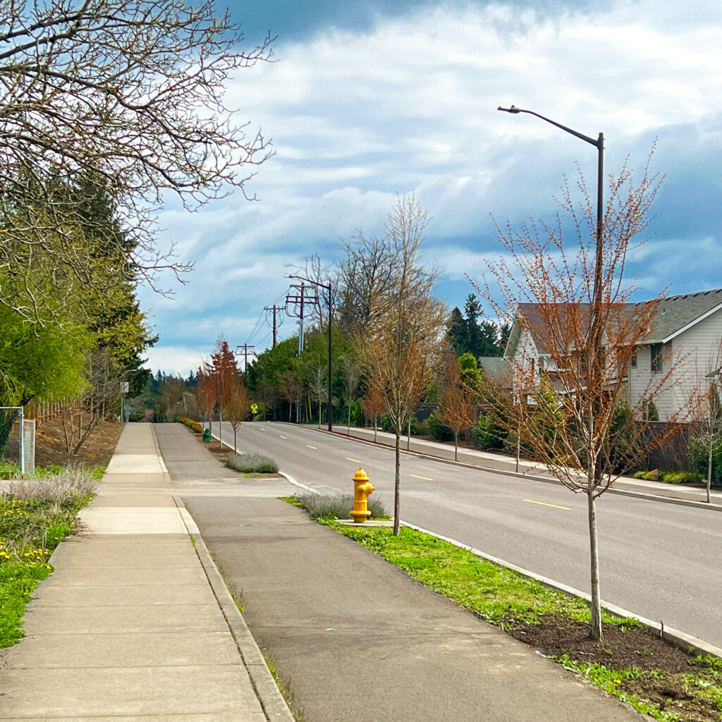
You’ll meander 3.5 miles alongside Oppenlander Field (Rosemont) and then Tanner Creek (Parker Crest), experiencing stately homes, wetlands, two parks (Tanner Creek Park & Oppenlander Field), FOUR pedestrian bridges, and a “secret” connector path.

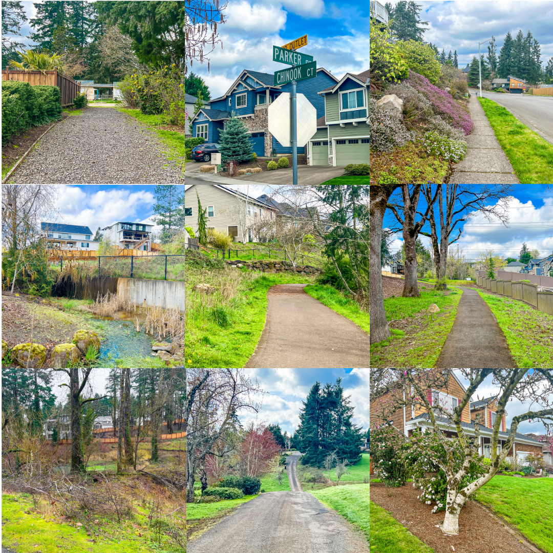
You’ll also traverse a variety of walk surfaces, from paved to unpaved trails, city sidewalks, gravel roadways, and grassy fields. The variety of surfaces, landscapes, neighborhoods, and elevations (rolling hills) work together to make an invigorating and highly engaging walk. Perhaps a bit rough and too long for the younger set, but older kids (8+) with adult supervision will love this route. (Dogs too but they must be on leash.) Tons of interest! Not heavily travelled.
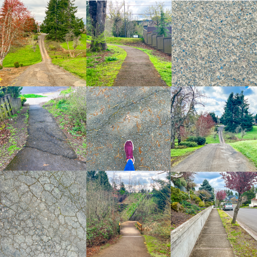
One of the unspoken rules of the road for a mixed terrain walker is KEEP YOUR EYES ON THE ROUTE AHEAD. Or put another way, KNOW YOUR GROUND. This simple habit can make the difference between staying upright or finding yourself lying on your back on the pavement. Don’t ask how we know.
That’s why we trek every route we share at least thrice and try to alert you to potentially hazardous trail conditions. That said, the ground beneath our feet changes with the seasons. Great shoes (our current faves) and caution are always advised.
Walking West Linn: Parker Crest, Tanner Creek, Rosemont Loop Route Map (Online, Interactive)
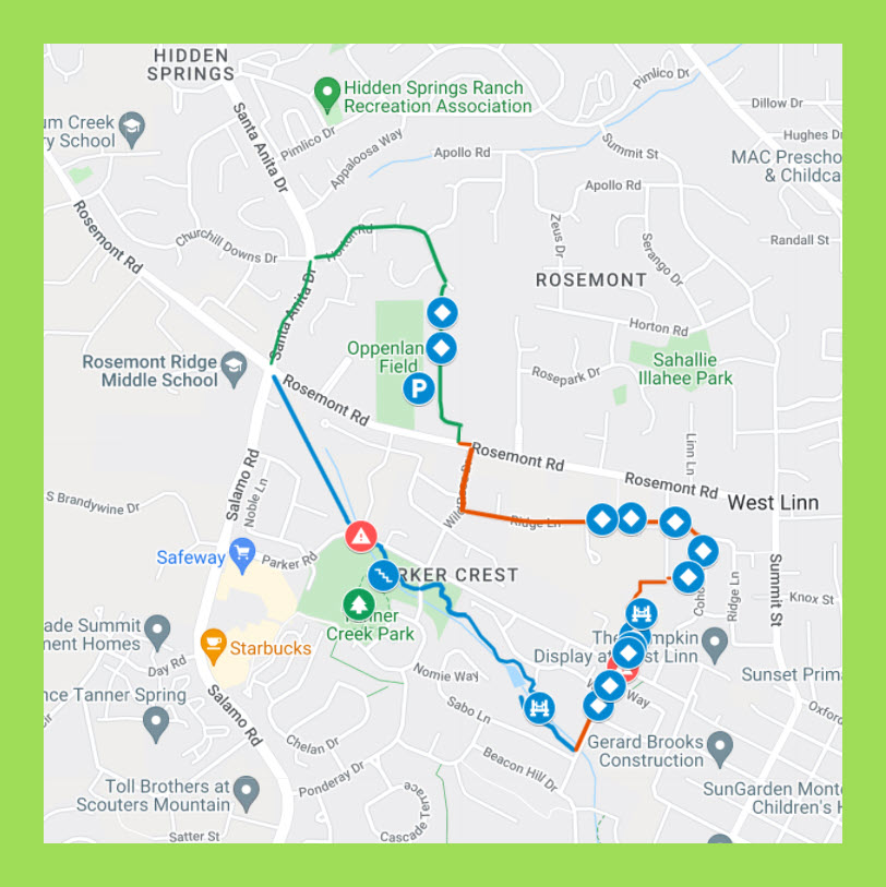
Our route maps are designed so you can both follow and keep track of where you are on the route from your iPhone while walking. On your computer, save the route map to your bookmarks bar and then open that link from your iPhone.
While walking, open the Legend field on the map to get turn-by-turn directions. If Google Maps is tracking properly (occasionally, in some areas, it glitches) you’ll see a small blue ball that represents you on the map. Essential for keeping track of where you are on the route.
Two for One
Nearly all our walk routes work well regardless which way you take them. After trying a route as written, try reversing the directions for the next walk. The reverse walk will feel surprisingly different.
Walk Details
ROUTE MAP: https://www.google.com/maps/d/u/1/edit?mid=1vxGEhf0s7UhH_e-BPJMjX_SKORlW2h-F&usp=sharing
PARKING: Free parking at Oppenlander Field. (1275 Rosemont Rd, West Linn)
RESTROOMS: Tanner Creek Park.
COFFEE/TEA/LUNCH: Bring it.
DISTANCE: 3.5 + miles.
TIME: 2-3+ hours.
TERRAIN: A mix of city sidewalks and varied terrain trails with rolling hills.
DIFFICULTY: Moderately challenging with numerous potential rest stops. Definitely a workout. With bragging rights. Bring lunch. And a camera.
There’s More
Check out our ten most popular custom crafted West Linn, Oregon walk routes: Walking West Linn, Oregon: Our 10 Most Popular Route Maps
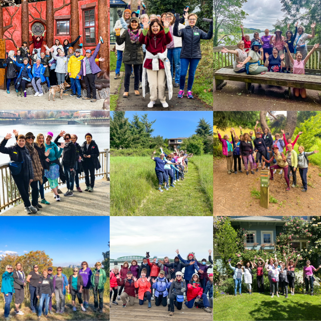
Monthly Group Walks
SkyBlue Portland Real Estate Group hosts a monthly group walk through some of Portland Metro’s most beautiful, uplifting, and interesting neighborhoods. Our Meetup group now has 800+ members. And a five star rating. Join us!
For info on our Portland Metro walking tours, check out our Facebook page, Women Who Walk and corresponding Meetup (PDX Women Who Walk).